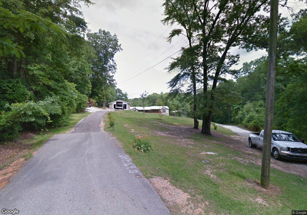
11924 Lester Taylor Rd Northport, AL 35475
Estimated Value: $434,910
3
Beds
1
Bath
1,904
Sq Ft
$228/Sq Ft
Est. Value
About This Home
This home is located at 11924 Lester Taylor Rd, Northport, AL 35475 and is currently estimated at $434,910, approximately $228 per square foot. 11924 Lester Taylor Rd is a home located in Tuscaloosa County with nearby schools including Huntington Place Elementary School, Echols Middle School, and Tuscaloosa County High School.
Ownership History
Date
Name
Owned For
Owner Type
Purchase Details
Closed on
Jan 29, 2018
Sold by
Boutwell Charles Allen
Bought by
Mb Lake Development Llc
Current Estimated Value
Purchase Details
Closed on
Sep 5, 2014
Sold by
Boyd Michael D
Bought by
Boutwell Charles Allen
Home Financials for this Owner
Home Financials are based on the most recent Mortgage that was taken out on this home.
Original Mortgage
$150,000
Interest Rate
4.2%
Mortgage Type
New Conventional
Purchase Details
Closed on
Oct 6, 2010
Sold by
Boyd Brenda Kay Hathcock
Bought by
Boyd Michael D
Create a Home Valuation Report for This Property
The Home Valuation Report is an in-depth analysis detailing your home's value as well as a comparison with similar homes in the area
Home Values in the Area
Average Home Value in this Area
Purchase History
| Date | Buyer | Sale Price | Title Company |
|---|---|---|---|
| Mb Lake Development Llc | $160,000 | -- | |
| Boutwell Charles Allen | $222,000 | -- | |
| Boyd Michael D | $130,000 | -- |
Source: Public Records
Mortgage History
| Date | Status | Borrower | Loan Amount |
|---|---|---|---|
| Previous Owner | Boutwell Charles Allen | $150,000 |
Source: Public Records
Tax History Compared to Growth
Tax History
| Year | Tax Paid | Tax Assessment Tax Assessment Total Assessment is a certain percentage of the fair market value that is determined by local assessors to be the total taxable value of land and additions on the property. | Land | Improvement |
|---|---|---|---|---|
| 2024 | -- | $0 | $0 | $0 |
| 2023 | $0 | $0 | $0 | $0 |
| 2022 | $0 | $0 | $0 | $0 |
| 2021 | $848 | $0 | $0 | $0 |
| 2020 | $848 | $27,340 | $5,400 | $21,940 |
| 2019 | $899 | $28,940 | $5,400 | $23,540 |
| 2018 | $462 | $28,940 | $5,400 | $23,540 |
| 2017 | $450 | $0 | $0 | $0 |
| 2016 | $420 | $0 | $0 | $0 |
| 2015 | $438 | $0 | $0 | $0 |
| 2014 | -- | $26,040 | $5,400 | $20,640 |
Source: Public Records
Map
Nearby Homes
- 0 lot 52 Highpoint Cove
- 14804 Watercrest Dr
- 71 Highpoint Cove
- 14800 Edgewater Dr
- 0 Edgewater Dr
- 15022 Watercrest Dr
- 14946 Edgewater Dr
- 14938 Edgewater Dr
- 14922 Edgewater Dr
- 14898 Edgewater Dr
- 12437 Rising Tide
- 12030 Orlea Ln
- 15340 Stonehedge Cliffs Rd
- 14348 Frank Lary Rd
- 14559 Lonnie Shirley Rd
- 12575 Bone Camp Rd
- 15 Freeman's Bend Rd
- 11760 High Cliff Dr
- 15479 Choctaw Trail
- 11637 Tierce Patton Rd
- 61&61s Highpoint Cove
- 11934 Lester Taylor Rd
- 11900 Highpoint Cir
- 11909 Highpoint Cir
- 14868 Watercrest Dr
- 11932 Highpoint Cir
- 11990 Lester Taylor Rd
- 14874 Watercrest Dr
- 11940 Highpoint Cir
- 14890 Watercrest Dr
- 14880 Watercrest Dr
- 14876 Highpoint Cove
- 11933 Highpoint Cir
- 14818 Watercrest Dr
- 14910 Watercrest Dr
- 14921 Highpoint Cove
- 14905 Highpoint Cove
- 14741 Hickory Ridge Dr
- 14913 Highpoint Cove
- 14734 Renfroe Dr