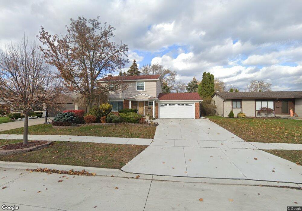
11925 Angus Cir Sterling Heights, MI 48312
Estimated Value: $286,000 - $324,000
4
Beds
2
Baths
1,492
Sq Ft
$200/Sq Ft
Est. Value
About This Home
This home is located at 11925 Angus Cir, Sterling Heights, MI 48312 and is currently estimated at $298,821, approximately $200 per square foot. 11925 Angus Cir is a home located in Macomb County with nearby schools including Plumbrook Elementary School, Davis Junior High School, and Adlai Stevenson High School.
Ownership History
Date
Name
Owned For
Owner Type
Purchase Details
Closed on
Feb 16, 2008
Sold by
Polanski Waldemar and Polanska Dorota
Bought by
Polanski Waldemar and Polanska Dorota
Current Estimated Value
Home Financials for this Owner
Home Financials are based on the most recent Mortgage that was taken out on this home.
Original Mortgage
$125,000
Outstanding Balance
$77,559
Interest Rate
5.75%
Mortgage Type
Stand Alone Refi Refinance Of Original Loan
Estimated Equity
$221,262
Purchase Details
Closed on
Apr 7, 2006
Sold by
Ervin John S and Ervin Kim K
Bought by
Deutsche Bank National Trust Co and Morgan Stanley Dean Witter Capital I Inc
Purchase Details
Closed on
Oct 28, 1994
Sold by
Sawinski Andrew F
Bought by
Ervin John S
Home Financials for this Owner
Home Financials are based on the most recent Mortgage that was taken out on this home.
Original Mortgage
$104,500
Interest Rate
9%
Mortgage Type
New Conventional
Create a Home Valuation Report for This Property
The Home Valuation Report is an in-depth analysis detailing your home's value as well as a comparison with similar homes in the area
Home Values in the Area
Average Home Value in this Area
Purchase History
| Date | Buyer | Sale Price | Title Company |
|---|---|---|---|
| Polanski Waldemar | -- | Premier Title Services Llc | |
| Deutsche Bank National Trust Co | $150,450 | None Available | |
| Ervin John S | $110,000 | -- |
Source: Public Records
Mortgage History
| Date | Status | Borrower | Loan Amount |
|---|---|---|---|
| Open | Polanski Waldemar | $125,000 | |
| Previous Owner | Ervin John S | $104,500 |
Source: Public Records
Tax History Compared to Growth
Tax History
| Year | Tax Paid | Tax Assessment Tax Assessment Total Assessment is a certain percentage of the fair market value that is determined by local assessors to be the total taxable value of land and additions on the property. | Land | Improvement |
|---|---|---|---|---|
| 2025 | $2,728 | $139,000 | $0 | $0 |
| 2024 | $2,495 | $130,400 | $0 | $0 |
| 2023 | $2,355 | $117,600 | $0 | $0 |
| 2022 | $2,455 | $105,400 | $0 | $0 |
| 2021 | $2,532 | $96,800 | $0 | $0 |
| 2020 | $2,145 | $90,900 | $0 | $0 |
| 2019 | $2,350 | $87,100 | $0 | $0 |
| 2018 | $2,353 | $79,800 | $0 | $0 |
| 2017 | $2,123 | $74,800 | $15,000 | $59,800 |
| 2016 | $2,350 | $74,800 | $0 | $0 |
| 2015 | -- | $69,000 | $0 | $0 |
| 2014 | -- | $55,500 | $0 | $0 |
Source: Public Records
Map
Nearby Homes
- 39044 Dodge Park Rd
- 39123 Boston Dr
- 11820 Creekview Dr Unit 54
- 39239 Chantilly Dr
- 39275 Della Rosa Dr
- 11425 Plumbrook Rd
- 11859 Fairview Dr
- 12816 Kinlock Dr
- 39421 Farmhill Dr
- 11406 Plumridge Blvd
- 37611 Badger Dr
- 39400 Utica Rd
- 39839 Utica Rd
- 13000 Plumbrook Rd
- 13311 Picadilly Dr
- 13386 Winona Dr
- 11118 Plumridge Blvd
- 37383 Golfview Dr Unit 76
- 13314 Denver Cir W
- 37343 Clubhouse Dr
- 11911 Angus Cir
- 12020 Sorrento Blvd
- 11953 Angus Cir
- 11897 Angus Cir
- 11998 Sorrento Blvd
- 12038 Sorrento Blvd
- 11978 Sorrento Blvd
- 12056 Sorrento Blvd
- 11904 Angus Cir
- 11967 Angus Cir
- 11885 Angus Cir
- 11938 Angus Cir
- 11954 Sorrento Blvd
- 12074 Sorrento Blvd
- 11952 Angus Cir
- 11892 Angus Cir
- 11879 Angus Cir
- 11981 Angus Cir
- 38574 Hartwell Dr
- 11966 Angus Cir