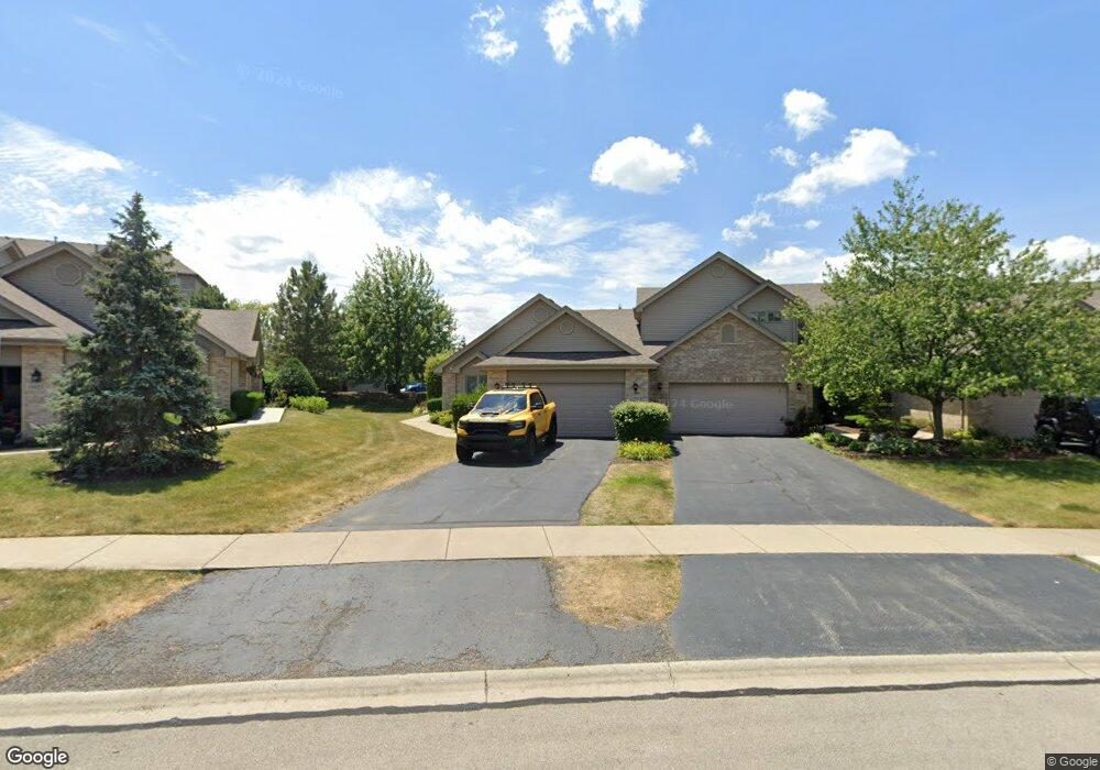
11929 Somerset Rd Unit 1192 Orland Park, IL 60467
Orland Grove NeighborhoodEstimated Value: $382,836 - $412,000
3
Beds
3
Baths
1,650
Sq Ft
$238/Sq Ft
Est. Value
About This Home
This home is located at 11929 Somerset Rd Unit 1192, Orland Park, IL 60467 and is currently estimated at $393,459, approximately $238 per square foot. 11929 Somerset Rd Unit 1192 is a home located in Cook County with nearby schools including Orland Park Elementary School, High Point Elementary School, and Orland Jr High School.
Ownership History
Date
Name
Owned For
Owner Type
Purchase Details
Closed on
May 6, 2022
Sold by
Margaret Gerald R and Margaret Ann
Bought by
11929 Somerset Llc
Current Estimated Value
Purchase Details
Closed on
Jul 27, 2007
Sold by
Corbett Alfred J and Kollenberg Shirley A
Bought by
Hillman Gerald R and Hillman Margaret Ann
Purchase Details
Closed on
Feb 10, 2003
Sold by
Standard Bank & Trust Co
Bought by
Corbett Alfred J and Kollenberg Shirley A
Create a Home Valuation Report for This Property
The Home Valuation Report is an in-depth analysis detailing your home's value as well as a comparison with similar homes in the area
Home Values in the Area
Average Home Value in this Area
Purchase History
| Date | Buyer | Sale Price | Title Company |
|---|---|---|---|
| 11929 Somerset Llc | $345,000 | None Listed On Document | |
| Hillman Gerald R | $345,000 | Git | |
| Corbett Alfred J | $231,500 | Cti | |
| Corbett Alfred J | $231,500 | Cti |
Source: Public Records
Tax History Compared to Growth
Tax History
| Year | Tax Paid | Tax Assessment Tax Assessment Total Assessment is a certain percentage of the fair market value that is determined by local assessors to be the total taxable value of land and additions on the property. | Land | Improvement |
|---|---|---|---|---|
| 2024 | $8,321 | $33,250 | $5,023 | $28,227 |
| 2023 | $5,591 | $34,000 | $5,023 | $28,977 |
| 2022 | $5,591 | $24,823 | $4,420 | $20,403 |
| 2021 | $5,447 | $24,822 | $4,420 | $20,402 |
| 2020 | $6,912 | $24,822 | $4,420 | $20,402 |
| 2019 | $4,363 | $22,067 | $4,018 | $18,049 |
| 2018 | $4,240 | $22,067 | $4,018 | $18,049 |
| 2017 | $4,173 | $22,067 | $4,018 | $18,049 |
| 2016 | $4,152 | $19,162 | $3,616 | $15,546 |
| 2015 | $4,053 | $19,162 | $3,616 | $15,546 |
| 2014 | $4,018 | $19,162 | $3,616 | $15,546 |
| 2013 | $4,136 | $20,646 | $3,616 | $17,030 |
Source: Public Records
Map
Nearby Homes
- 11901 Somerset Rd Unit 2
- 11901 Windemere Ct Unit 301
- 11851 Windemere Ct Unit 201
- 14328 Pinewood Dr
- 11501 W 143rd St
- 14405 Creekwood Dr
- 14225 Mallard Dr
- 11811 Old Spanish Trail
- 11701 Waters Edge Trail
- 12360 Derby Ln
- 12009 Venetian Way
- 11708 139th St
- 13951 Green Valley Dr
- 13766 Mccabe Dr
- 13910 Green Valley Dr
- 14467 Creekview Dr
- 14042 Churchill Dr
- 13810 Logan Dr
- 13650 Old Post Rd
- Fremont Plan at Goodings Grove
- 11929 Somerset Rd
- 11931 Somerset Rd
- 11933 Somerset Rd Unit 2
- 11923 Somerset Rd Unit 2
- 11935 Somerset Rd Unit 2
- 11921 Somerset Rd
- 11937 Somerset Rd
- 11919 Somerset Rd Unit 2
- 11917 Somerset Rd
- 11917 Somerset Rd Unit 1197
- 11922 Somerset Rd Unit 3
- 11920 Somerset Rd
- 11915 Somerset Rd
- 11911 Windemere Ct Unit 203
- 11911 Windemere Ct Unit 11911
- 11911 Windemere Ct Unit 11911
- 11911 Windemere Ct Unit 11911
- 11911 Windemere Ct Unit 11921
- 11911 Windemere Ct Unit 11911