1193 Black Branch Rd Rabun Gap, GA 30568
Estimated Value: $469,000 - $568,000
3
Beds
3
Baths
1,979
Sq Ft
$264/Sq Ft
Est. Value
About This Home
This home is located at 1193 Black Branch Rd, Rabun Gap, GA 30568 and is currently estimated at $521,909, approximately $263 per square foot. 1193 Black Branch Rd is a home with nearby schools including Rabun County Primary School, Rabun County High School, and Rabun Gap Nacoochee School.
Ownership History
Date
Name
Owned For
Owner Type
Purchase Details
Closed on
Feb 1, 2022
Sold by
Irier Lorraine
Bought by
Hardy Trisha and Orozco David
Current Estimated Value
Purchase Details
Closed on
Oct 12, 2020
Sold by
Carter Gary Alan
Bought by
Irier Hasan and Irier Lorraine
Purchase Details
Closed on
Aug 5, 2013
Sold by
Carter Fam Liv Trust
Bought by
The Carter Descendants Trust
Purchase Details
Closed on
Sep 1, 1985
Bought by
Carter William J
Create a Home Valuation Report for This Property
The Home Valuation Report is an in-depth analysis detailing your home's value as well as a comparison with similar homes in the area
Home Values in the Area
Average Home Value in this Area
Purchase History
| Date | Buyer | Sale Price | Title Company |
|---|---|---|---|
| Hardy Trisha | $10,000 | -- | |
| Hardy Trisha | $10,000 | -- | |
| Irier Hasan | $41,850 | -- | |
| The Carter Descendants Trust | -- | -- | |
| The Carter Descendants Trust | -- | -- | |
| Carter Fam Liv Trust | -- | -- | |
| Carter Fam Liv Trust | -- | -- | |
| Carter William J | $15,000 | -- | |
| Carter William J | $15,000 | -- |
Source: Public Records
Tax History Compared to Growth
Tax History
| Year | Tax Paid | Tax Assessment Tax Assessment Total Assessment is a certain percentage of the fair market value that is determined by local assessors to be the total taxable value of land and additions on the property. | Land | Improvement |
|---|---|---|---|---|
| 2025 | $2,574 | $160,382 | $18,359 | $142,023 |
| 2024 | $2,442 | $152,123 | $18,359 | $133,764 |
| 2023 | $698 | $38,121 | $17,279 | $20,842 |
| 2022 | $341 | $18,628 | $18,628 | $0 |
| 2021 | $328 | $17,510 | $17,510 | $0 |
| 2020 | $340 | $17,510 | $17,510 | $0 |
| 2019 | $342 | $17,510 | $17,510 | $0 |
| 2018 | $343 | $17,510 | $17,510 | $0 |
| 2017 | $329 | $17,510 | $17,510 | $0 |
| 2016 | $330 | $17,510 | $17,510 | $0 |
| 2015 | $337 | $17,510 | $17,510 | $0 |
| 2014 | $339 | $17,510 | $17,510 | $0 |
Source: Public Records
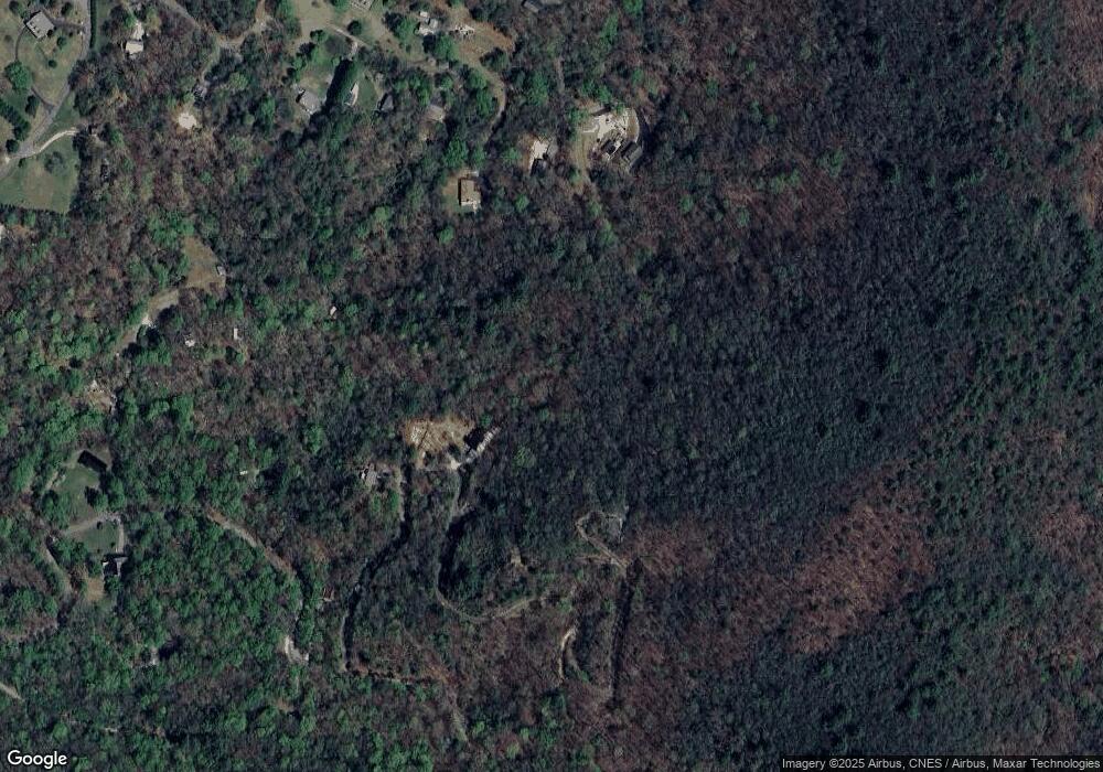
Map
Nearby Homes
- 407 Blackberry Dr
- 668 Mountainside Dr
- 100 Windsong Ln
- 333 Favor
- 0 Stella Ln Unit 10485082
- 0 Winter Ct Unit 35 10139164
- 0 Deep Woods Ln Unit LOT 9 8796010
- LOT 113 Mountain Ridge Dr
- LOT 112 Mountain Ridge Dr
- LOT 205 Shake Hollow Dr
- 27 Shake Hollow Dr
- LOT 204 Shake Hollow Dr
- LOT 22 Shake Hollow Dr
- 0 Shake Hollow Rd Unit 10619107
- 0 Shake Hollow Dr Unit 22681373
- 476 Franklin St
- 0 Uplander Unit 10628218
- 0 Uplander Unit M181832
- 68 Acres Ponderosa Rd
- 0 Wolffork Rd Unit 10624471
- 1165 Black Branch Rd
- 1158 Black Branch Rd
- 1227 Black Branch Rd
- 921 Black Branch Rd
- 144 Blueberry Ln Unit 16
- 144 Blueberry Ln
- 299 Henslee Hollow Ln
- 182 Blueberry Ln
- 349 Henslee Hollow Ln
- 1491 Black Branch Rd
- 1023 Black Branch Rd
- 60 Blueberry Ln
- 100 Blueberry Ln
- 297 Henslee Hollow Ln
- 90 Blackberry Dr
- 851 Black Branch Rd
- 83 Blueberry Ln
- 776 Black Branch Rd
- 1048 Black Branch Rd
- 534 Mountainside Dr