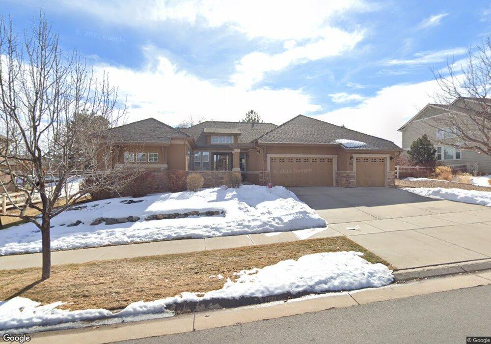
11930 W 67th Ave Arvada, CO 80004
Northwest Arvada NeighborhoodEstimated Value: $1,033,000 - $1,208,000
4
Beds
5
Baths
5,510
Sq Ft
$206/Sq Ft
Est. Value
About This Home
This home is located at 11930 W 67th Ave, Arvada, CO 80004 and is currently estimated at $1,135,586, approximately $206 per square foot. 11930 W 67th Ave is a home located in Jefferson County with nearby schools including Fremont Elementary School, Oberon Middle School, and Arvada West High School.
Ownership History
Date
Name
Owned For
Owner Type
Purchase Details
Closed on
Oct 16, 2017
Sold by
Liljestrom Drew and Liljestrom Andrew
Bought by
Liljestrom Drew and Buckley Catherine A
Current Estimated Value
Purchase Details
Closed on
Aug 18, 2014
Sold by
Ladd Land Investment Llc
Bought by
Liljestrom Drew and Buckley Catherine A
Purchase Details
Closed on
Aug 21, 2008
Sold by
Brittany Woodhaven Homes Llc
Bought by
Ladd Land Investment Llc
Purchase Details
Closed on
Apr 12, 2007
Sold by
Brittany Land Development Llc
Bought by
Brittany Woodhaven Homes Llc
Create a Home Valuation Report for This Property
The Home Valuation Report is an in-depth analysis detailing your home's value as well as a comparison with similar homes in the area
Home Values in the Area
Average Home Value in this Area
Purchase History
| Date | Buyer | Sale Price | Title Company |
|---|---|---|---|
| Liljestrom Drew | -- | None Available | |
| Liljestrom Drew | $602,000 | Chicago Title | |
| Ladd Land Investment Llc | -- | None Available | |
| Ladd Land Investment Llc | -- | Security Title | |
| Brittany Woodhaven Homes Llc | -- | Security Title |
Source: Public Records
Tax History Compared to Growth
Tax History
| Year | Tax Paid | Tax Assessment Tax Assessment Total Assessment is a certain percentage of the fair market value that is determined by local assessors to be the total taxable value of land and additions on the property. | Land | Improvement |
|---|---|---|---|---|
| 2024 | $7,222 | $74,454 | $23,191 | $51,263 |
| 2023 | $7,222 | $74,454 | $23,191 | $51,263 |
| 2022 | $5,423 | $55,378 | $18,215 | $37,163 |
| 2021 | $5,513 | $56,972 | $18,739 | $38,233 |
| 2020 | $4,933 | $51,122 | $15,794 | $35,328 |
| 2019 | $4,867 | $51,122 | $15,794 | $35,328 |
| 2018 | $4,835 | $49,384 | $9,463 | $39,921 |
| 2017 | $4,426 | $49,384 | $9,463 | $39,921 |
| 2016 | $4,574 | $48,065 | $10,534 | $37,531 |
| 2015 | $4,113 | $48,065 | $10,534 | $37,531 |
| 2014 | $4,113 | $40,628 | $9,353 | $31,275 |
Source: Public Records
Map
Nearby Homes
- 11820 W 66th Place Unit C
- 11542 W 67th Way
- 6640 Simms St
- 6620 Van Gordon Ct
- 6470 Simms St Unit C
- 6466 Simms St Unit A
- 12108 W 70th Ave
- 12625 W 66th Cir
- 7049 Van Gordon Ct
- 11640 W 62nd Place Unit 203
- 7080 Simms St Unit 204
- 11023 W 67th Way
- 6440 Wright St
- 7140 Simms St Unit 102
- 10909 W 65th Way
- 7070 Routt St
- 10879 W 65th Way
- 6616 Zang Cir
- 6943 Oak Way
- 11371 W 71st Place