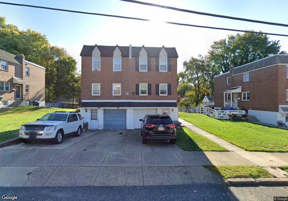
11931 Stevens Rd Philadelphia, PA 19116
Somerton NeighborhoodEstimated Value: $366,000 - $400,000
--
Bed
--
Bath
1,332
Sq Ft
$288/Sq Ft
Est. Value
About This Home
This home is located at 11931 Stevens Rd, Philadelphia, PA 19116 and is currently estimated at $384,084, approximately $288 per square foot. 11931 Stevens Rd is a home with nearby schools including Watson Comly School, CCA Baldi Middle School, and George Washington High School.
Ownership History
Date
Name
Owned For
Owner Type
Purchase Details
Closed on
Mar 26, 2004
Sold by
Jackson Stephen J and Detroux Jeannine M
Bought by
David Brad A and David Patricia
Current Estimated Value
Home Financials for this Owner
Home Financials are based on the most recent Mortgage that was taken out on this home.
Original Mortgage
$166,250
Outstanding Balance
$76,615
Interest Rate
5.58%
Mortgage Type
Purchase Money Mortgage
Estimated Equity
$307,469
Create a Home Valuation Report for This Property
The Home Valuation Report is an in-depth analysis detailing your home's value as well as a comparison with similar homes in the area
Home Values in the Area
Average Home Value in this Area
Purchase History
| Date | Buyer | Sale Price | Title Company |
|---|---|---|---|
| David Brad A | $175,000 | -- |
Source: Public Records
Mortgage History
| Date | Status | Borrower | Loan Amount |
|---|---|---|---|
| Open | David Brad A | $166,250 |
Source: Public Records
Tax History Compared to Growth
Tax History
| Year | Tax Paid | Tax Assessment Tax Assessment Total Assessment is a certain percentage of the fair market value that is determined by local assessors to be the total taxable value of land and additions on the property. | Land | Improvement |
|---|---|---|---|---|
| 2026 | $3,939 | $352,500 | $70,500 | $282,000 |
| 2025 | $3,939 | $352,500 | $70,500 | $282,000 |
| 2024 | $3,939 | $352,500 | $70,500 | $282,000 |
| 2023 | $3,939 | $281,400 | $56,280 | $225,120 |
| 2022 | $2,686 | $236,400 | $56,280 | $180,120 |
| 2021 | $3,316 | $0 | $0 | $0 |
| 2020 | $3,316 | $0 | $0 | $0 |
| 2019 | $3,123 | $0 | $0 | $0 |
| 2018 | $2,448 | $0 | $0 | $0 |
| 2017 | $2,868 | $0 | $0 | $0 |
| 2016 | $2,448 | $0 | $0 | $0 |
| 2015 | $2,344 | $0 | $0 | $0 |
| 2014 | -- | $204,900 | $76,278 | $128,622 |
| 2012 | -- | $27,680 | $3,783 | $23,897 |
Source: Public Records
Map
Nearby Homes
- 11933 Stevens Rd
- 1104 Welton St
- 11902 Barlow St
- 808 Densmore Rd
- 807 Larkspur St
- 13027 Worthington Rd
- 1216 Anna Dr
- 13053 Dorothy Dr
- 13049 Lindsay St
- 818 Burgess St
- 825 Delray St
- 813 Piermont St
- 13430 Worthington Rd
- 13250 Trevose Rd
- 509 Larkspur St
- 13441 Trevose Rd
- 11715 Jeanes St
- 15014 Theresa Dr
- 15019 Worthington Rd Unit B
- 11243 Jeanes Place
- 11929 Stevens Rd
- 11927 Stevens Rd
- 11935 Stevens Rd
- 11925 Stevens Rd
- 12016 Sewell Rd
- 12018 Sewell Rd
- 11923 Stevens Rd
- 12014 Sewell Rd
- 11928 Stevens Rd
- 11930 Stevens Rd
- 11926 Stevens Rd
- 11921 Stevens Rd
- 11924 Stevens Rd
- 12012 Sewell Rd
- 11922 Stevens Rd
- 11920 Stevens Rd
- 11919 Stevens Rd
- 11917 Stevens Rd
- 11918 Stevens Rd
- 11923 Barlow St