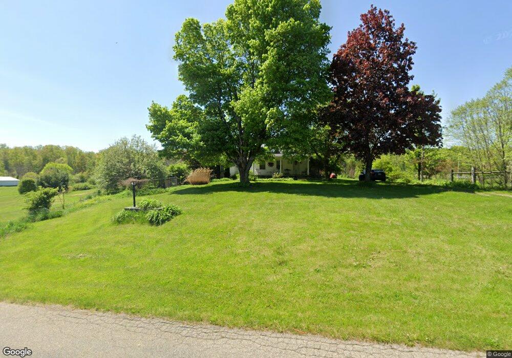
11937 McManis Rd Mount Vernon, OH 43050
Estimated Value: $185,000 - $328,000
3
Beds
4
Baths
1,500
Sq Ft
$165/Sq Ft
Est. Value
About This Home
This home is located at 11937 McManis Rd, Mount Vernon, OH 43050 and is currently estimated at $246,958, approximately $164 per square foot. 11937 McManis Rd is a home located in Knox County with nearby schools including East Knox Elementary School, East Knox High School, and St. Vincent de Paul School.
Ownership History
Date
Name
Owned For
Owner Type
Purchase Details
Closed on
Jun 6, 2012
Sold by
Adkins John D and Adkins Esther
Bought by
Dismuke Jacquelyn A and Dismuke Angela M
Current Estimated Value
Purchase Details
Closed on
Jan 23, 2006
Sold by
Taylor Janice L
Bought by
Taylor Dennis D and Taylor Janice L
Purchase Details
Closed on
Mar 22, 2005
Sold by
Adkins Delmer C and Adkins Stella E
Bought by
Taylor Janice L and Adkins John D
Purchase Details
Closed on
Sep 26, 2000
Sold by
Adkins Delmer C and Adkins Stella
Bought by
Adkins Delmer C and Adkins Stella
Create a Home Valuation Report for This Property
The Home Valuation Report is an in-depth analysis detailing your home's value as well as a comparison with similar homes in the area
Home Values in the Area
Average Home Value in this Area
Purchase History
| Date | Buyer | Sale Price | Title Company |
|---|---|---|---|
| Dismuke Jacquelyn A | $38,250 | None Available | |
| Dismuke Jacquelyn A | $38,250 | None Available | |
| Taylor Dennis D | -- | None Available | |
| Taylor Janice L | -- | None Available | |
| Adkins Delmer C | -- | -- |
Source: Public Records
Tax History Compared to Growth
Tax History
| Year | Tax Paid | Tax Assessment Tax Assessment Total Assessment is a certain percentage of the fair market value that is determined by local assessors to be the total taxable value of land and additions on the property. | Land | Improvement |
|---|---|---|---|---|
| 2024 | $2,154 | $62,270 | $20,540 | $41,730 |
| 2023 | $2,085 | $62,270 | $20,540 | $41,730 |
| 2022 | $1,882 | $49,810 | $16,430 | $33,380 |
| 2021 | $1,882 | $49,810 | $16,430 | $33,380 |
| 2020 | $1,858 | $49,810 | $16,430 | $33,380 |
| 2019 | $1,524 | $39,860 | $11,790 | $28,070 |
| 2018 | $1,428 | $39,860 | $11,790 | $28,070 |
| 2017 | $1,415 | $39,860 | $11,790 | $28,070 |
| 2016 | $1,702 | $36,910 | $10,920 | $25,990 |
| 2015 | $1,551 | $36,910 | $10,920 | $25,990 |
| 2014 | $1,553 | $36,910 | $10,920 | $25,990 |
| 2013 | $1,622 | $37,620 | $10,120 | $27,500 |
Source: Public Records
Map
Nearby Homes
- 11791 McManis Rd
- 20561 Canada Rd
- 12627 Upper Gilchrist Rd
- 20090 New Gambier Rd
- 13618 Gilchrist Rd
- 104 Colonial Woods Dr Unit 4
- 117 Colonial Woods Dr
- 17421 Coshocton Rd
- 405 1/2 Gaskin Ave
- 188 Plymouth Rd
- 213 Kokosing Dr
- 0 Venture Dr Unit 20240369
- 302 E Woodside Dr
- 14021 Gilchrist Rd
- 84 Woodlake Trail
- 17375 Gambier Rd
- 42 Wildwood Ln
- 0 Wildwood Ln
- 55 Wildwood Ln
- 11950 McManis Rd
- 11888 McManis Rd
- 11887 McManis Rd
- 11922 McManis Rd
- 11810 McManis Rd
- 12111 McManis Rd
- 11944 McManis Rd
- Lot 8 Hunters Ridge
- 11804 McManis Rd
- 11948 McManis Rd
- 19028 Coshoctonrd
- 19028 Coshocton Ave
- 19028 Coshocton Rd
- 11754 McManis Rd
- 12151 McManis Rd
- 18948 Coshocton Ave
- 18948 Coshocton Rd
- 11920 McManis Rd
- 0 McManis Rd
- 11890 Kenyon Rd