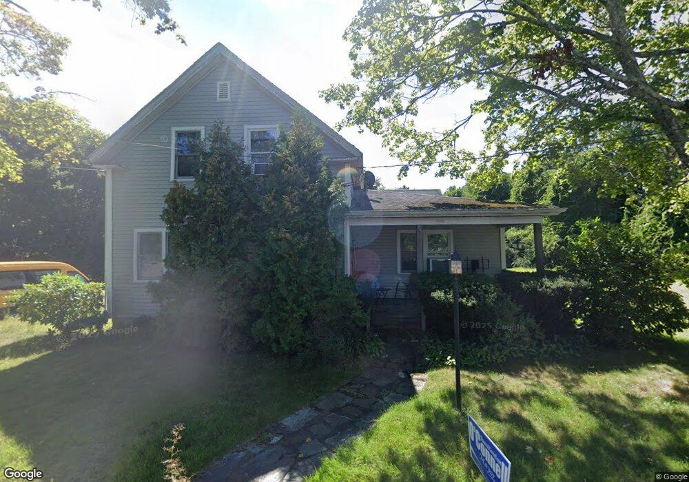
1194 Cohannet St Taunton, MA 02780
Estimated Value: $515,000 - $606,000
5
Beds
3
Baths
2,002
Sq Ft
$279/Sq Ft
Est. Value
About This Home
This home is located at 1194 Cohannet St, Taunton, MA 02780 and is currently estimated at $557,799, approximately $278 per square foot. 1194 Cohannet St is a home located in Bristol County with nearby schools including Mulcahey Elementary School, Taunton High School, and John F. Parker Middle School.
Ownership History
Date
Name
Owned For
Owner Type
Purchase Details
Closed on
Jan 2, 1997
Sold by
Olson Victor B and Olson William C
Bought by
Silvia Steven J and Silvia Doreen
Current Estimated Value
Home Financials for this Owner
Home Financials are based on the most recent Mortgage that was taken out on this home.
Original Mortgage
$78,900
Outstanding Balance
$8,360
Interest Rate
7.48%
Mortgage Type
Purchase Money Mortgage
Estimated Equity
$549,439
Create a Home Valuation Report for This Property
The Home Valuation Report is an in-depth analysis detailing your home's value as well as a comparison with similar homes in the area
Home Values in the Area
Average Home Value in this Area
Purchase History
| Date | Buyer | Sale Price | Title Company |
|---|---|---|---|
| Silvia Steven J | $134,900 | -- |
Source: Public Records
Mortgage History
| Date | Status | Borrower | Loan Amount |
|---|---|---|---|
| Open | Silvia Steven J | $78,900 | |
| Previous Owner | Silvia Steven J | $10,100 |
Source: Public Records
Tax History Compared to Growth
Tax History
| Year | Tax Paid | Tax Assessment Tax Assessment Total Assessment is a certain percentage of the fair market value that is determined by local assessors to be the total taxable value of land and additions on the property. | Land | Improvement |
|---|---|---|---|---|
| 2025 | $5,460 | $499,100 | $145,100 | $354,000 |
| 2024 | $5,049 | $451,200 | $145,100 | $306,100 |
| 2023 | $4,865 | $403,700 | $151,700 | $252,000 |
| 2022 | $4,265 | $323,600 | $117,600 | $206,000 |
| 2021 | $4,141 | $291,600 | $106,900 | $184,700 |
| 2020 | $4,064 | $273,500 | $106,900 | $166,600 |
| 2019 | $3,850 | $244,300 | $112,100 | $132,200 |
| 2018 | $3,727 | $237,100 | $113,100 | $124,000 |
| 2017 | $3,461 | $220,300 | $107,800 | $112,500 |
| 2016 | $3,327 | $212,200 | $104,600 | $107,600 |
| 2015 | $3,026 | $201,600 | $104,700 | $96,900 |
| 2014 | $2,945 | $201,600 | $104,700 | $96,900 |
Source: Public Records
Map
Nearby Homes
- 321 Winthrop St Unit 109
- 410 Warner Blvd Unit A
- 15 Shetland Rd
- 140 N Walker St Unit 511
- 130 N Walker St
- 170 Highland St Unit 320
- 170 Highland St Unit 119
- 424 Winthrop St
- 173 Highland St Unit 201
- 45 Fisher St
- 64 Kalman Place
- 125 Highland St Unit 103
- 6 Grove Ave
- 92 Highland Ave
- 50 Highland St Unit 135
- 15 Chase St
- 65 Bridget Dr
- 233-R Summer St
- 0 Summer St
- 1160 Somerset Ave
- 1206 Cohannet St
- 1193 Cohannet St
- 1205 Cohannet St
- 1162 Cohannet St
- 1215 Cohannet St
- 1165 Cohannet St
- 1 Nuthatch Ln
- 1155 Cohannet St
- 38 Nuthatch Ln
- 34 Nuthatch Ln
- 1240 Cohannet St
- 1245 Cohannet St
- 50 Nuthatch Ln
- 33 Nuthatch Ln
- 1125 Cohannet St
- 45 Nuthatch Ln
- 1139 Cohannet St
- 342 Winthrop St
- 1267 Cohannet St
- 64 Nuthatch Ln