1194 Millerburg Rd Charlotte, MI 48813
Estimated Value: $302,209 - $392,000
4
Beds
2
Baths
2,305
Sq Ft
$147/Sq Ft
Est. Value
About This Home
This home is located at 1194 Millerburg Rd, Charlotte, MI 48813 and is currently estimated at $339,052, approximately $147 per square foot. 1194 Millerburg Rd is a home located in Eaton County with nearby schools including Washington Elementary School, Charlotte Upper Elementary School, and Charlotte Middle School.
Ownership History
Date
Name
Owned For
Owner Type
Purchase Details
Closed on
May 23, 2017
Sold by
Hummel Nicholas L
Bought by
Ramsey Donald and Ramsey Sara
Current Estimated Value
Home Financials for this Owner
Home Financials are based on the most recent Mortgage that was taken out on this home.
Original Mortgage
$206,000
Outstanding Balance
$171,220
Interest Rate
4.08%
Mortgage Type
New Conventional
Estimated Equity
$167,832
Purchase Details
Closed on
Jun 19, 2008
Sold by
Morrison Robert B and Morrison Robyn G
Bought by
Hsbc Mortgage Services Inc
Create a Home Valuation Report for This Property
The Home Valuation Report is an in-depth analysis detailing your home's value as well as a comparison with similar homes in the area
Home Values in the Area
Average Home Value in this Area
Purchase History
| Date | Buyer | Sale Price | Title Company |
|---|---|---|---|
| Ramsey Donald | $217,000 | Ata National Title Group Llc | |
| Hsbc Mortgage Services Inc | $121,391 | Fidelity National Title |
Source: Public Records
Mortgage History
| Date | Status | Borrower | Loan Amount |
|---|---|---|---|
| Open | Ramsey Donald | $206,000 |
Source: Public Records
Tax History Compared to Growth
Tax History
| Year | Tax Paid | Tax Assessment Tax Assessment Total Assessment is a certain percentage of the fair market value that is determined by local assessors to be the total taxable value of land and additions on the property. | Land | Improvement |
|---|---|---|---|---|
| 2025 | $2,695 | $127,000 | $0 | $0 |
| 2024 | $965 | $125,110 | $0 | $0 |
| 2023 | $919 | $113,560 | $0 | $0 |
| 2022 | $2,371 | $81,330 | $0 | $0 |
| 2021 | $2,330 | $78,480 | $0 | $0 |
| 2020 | $2,171 | $77,700 | $0 | $0 |
| 2019 | $2,141 | $72,400 | $0 | $0 |
| 2018 | $2,238 | $75,685 | $0 | $0 |
| 2017 | $1,899 | $72,622 | $0 | $0 |
| 2016 | -- | $70,150 | $0 | $0 |
| 2015 | -- | $67,560 | $0 | $0 |
| 2014 | -- | $64,004 | $0 | $0 |
| 2013 | -- | $63,770 | $0 | $0 |
Source: Public Records
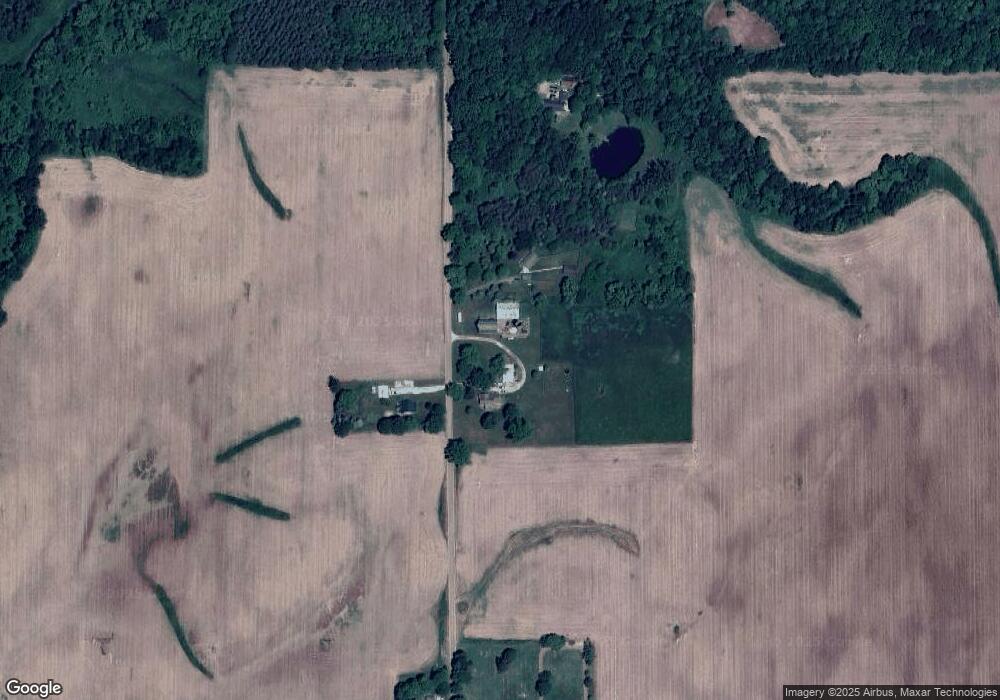
Map
Nearby Homes
- Vl W Kinsel Hwy
- 525 N Wheaton Rd
- 1272 W Lawrence Hwy
- 2402 N Stine Rd
- 922 High St
- 717 High St
- 717 Katies Way
- 138 Canterbury Dr
- 938 N Cochran Ave
- 0 E Kinsel Hwy Unit 20251030636
- 220 N Chester Rd
- 428 N Washington St
- 206 W Harris St
- 113 S Clinton St
- 318 N Cochran Ave
- 827 Walnut St
- 0 Pinebluff Dr Parcel O Unit 258041
- 308 S Sheldon St
- 738 W Shepherd St
- 757 W Shepherd St
- 1191 Millerburg Rd
- 1266 Millerburg Rd
- 1368 Millerburg Rd
- 1025 Millerburg Rd
- 0 Millerburg Rd
- 960 Millerburg Rd
- 1452 Millerburg Rd
- 1933 Valley Hwy
- 2081 Valley Hwy
- 881 Millerburg Rd
- 855 Millerburg Rd
- 816 Millerburg Rd
- 2326 Valley Hwy
- 821 Millerburg Rd
- 780 Millerburg Rd
- 2424 Valley Hwy
- 711 Millerburg Rd
- 700 Millerburg Rd
- 691 Millerburg Rd
- 1504 Millerburg Rd