Estimated Value: $212,000 - $247,000
3
Beds
2
Baths
1,126
Sq Ft
$205/Sq Ft
Est. Value
About This Home
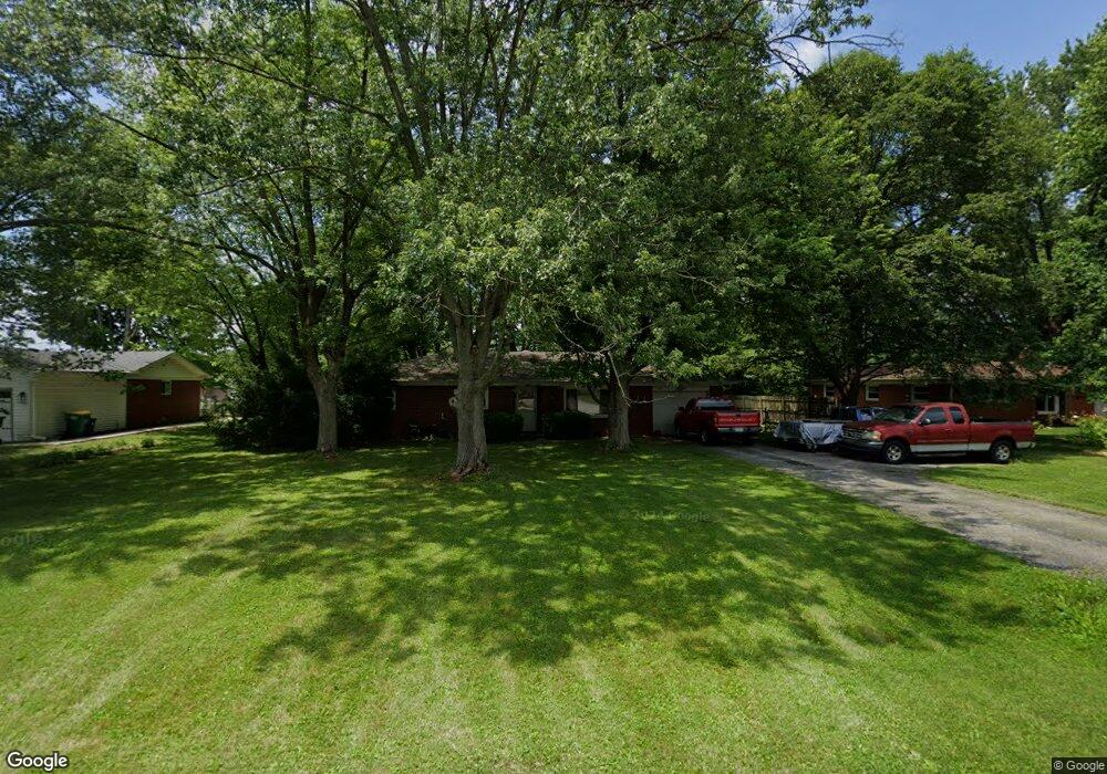
This home is located at 1194 Price Rd, Avon, IN 46123 and is currently estimated at $230,502, approximately $204 per square foot. 1194 Price Rd is a home located in Hendricks County with nearby schools including White Oak Elementary School, Avon Intermediate School West, and Hickory Elementary School.
Ownership History
Date
Name
Owned For
Owner Type
Purchase Details
Closed on
Oct 9, 2009
Sold by
Holmes Katie
Bought by
Reel Michael J and Reel Tammy A
Current Estimated Value
Home Financials for this Owner
Home Financials are based on the most recent Mortgage that was taken out on this home.
Original Mortgage
$102,017
Outstanding Balance
$66,853
Interest Rate
5.15%
Mortgage Type
FHA
Estimated Equity
$163,649
Purchase Details
Closed on
Jan 8, 2007
Sold by
Jackson Alphonso
Bought by
Holmes Katie
Home Financials for this Owner
Home Financials are based on the most recent Mortgage that was taken out on this home.
Original Mortgage
$64,000
Interest Rate
5.87%
Mortgage Type
Adjustable Rate Mortgage/ARM
Purchase Details
Closed on
Jul 20, 2006
Sold by
Oneil Sean P and Bratcher Jill D
Bought by
Not Provided
Create a Home Valuation Report for This Property
The Home Valuation Report is an in-depth analysis detailing your home's value as well as a comparison with similar homes in the area
Home Values in the Area
Average Home Value in this Area
Purchase History
| Date | Buyer | Sale Price | Title Company |
|---|---|---|---|
| Reel Michael J | -- | None Available | |
| Holmes Katie | -- | None Available | |
| Not Provided | -- | None Available |
Source: Public Records
Mortgage History
| Date | Status | Borrower | Loan Amount |
|---|---|---|---|
| Open | Reel Michael J | $102,017 | |
| Previous Owner | Holmes Katie | $64,000 |
Source: Public Records
Tax History Compared to Growth
Tax History
| Year | Tax Paid | Tax Assessment Tax Assessment Total Assessment is a certain percentage of the fair market value that is determined by local assessors to be the total taxable value of land and additions on the property. | Land | Improvement |
|---|---|---|---|---|
| 2024 | $1,444 | $153,200 | $30,000 | $123,200 |
| 2023 | $1,268 | $139,300 | $27,300 | $112,000 |
| 2022 | $1,371 | $141,800 | $26,000 | $115,800 |
| 2021 | $1,031 | $115,100 | $25,000 | $90,100 |
| 2020 | $978 | $111,500 | $25,000 | $86,500 |
| 2019 | $893 | $106,100 | $23,300 | $82,800 |
| 2018 | $946 | $104,500 | $23,300 | $81,200 |
| 2017 | $748 | $98,500 | $22,200 | $76,300 |
| 2016 | $741 | $95,700 | $22,200 | $73,500 |
| 2014 | $654 | $89,200 | $21,000 | $68,200 |
Source: Public Records
Map
Nearby Homes
- 1274 Price Rd
- 1157 Runningbrook Ct
- 1208 Spring Mill Dr
- 6784 E County Road 100 S
- 1074 S Avon Ave
- 1478 S Avon Ave
- 906 Rivendell Dr
- 922 Rivendell Dr
- 6766 Buhrstone Ln
- 7178 Lockford Walk N
- 7189 Lockford Walk N
- 7155 E County Road 150 S
- 7215 Governors Row
- 7235 Wilshire Way
- 6251 Crystal Springs Dr
- 6911 Woodland Heights Dr
- 1960 Delp Ct
- 1561 Claireridge Ct
- 1381 Turner Trace Place N
- 1394 Longleaf St
- 1212 Price Rd
- 1174 Price Rd
- 1232 Price Rd
- 1193 Springfield Dr
- 1169 Price Rd
- 1158 Price Rd
- 1215 Springfield Dr
- 1181 Springfield Dr
- 1123 Price Rd
- 1252 Price Rd
- 1146 Price Rd
- 1227 Springfield Dr
- 1171 Runningbrook Ct
- 1169 Runningbrook Ct
- 6786 Riviera Dr
- 1233 Price Rd
- 1113 Price Rd
- 1198 Springfield Dr
- 1237 Springfield Ct
- 1233 Springfield Ct