1194 Rocky Branch Rd Bogart, GA 30622
Estimated Value: $505,000 - $749,000
3
Beds
1
Bath
2,099
Sq Ft
$279/Sq Ft
Est. Value
About This Home
This home is located at 1194 Rocky Branch Rd, Bogart, GA 30622 and is currently estimated at $585,725, approximately $279 per square foot. 1194 Rocky Branch Rd is a home located in Oconee County with nearby schools including Rocky Branch Elementary School, Malcom Bridge Middle School, and North Oconee High School.
Ownership History
Date
Name
Owned For
Owner Type
Purchase Details
Closed on
Nov 3, 2021
Sold by
Frazer Creek Investments Llc
Bought by
Eastville Properties Llc
Current Estimated Value
Purchase Details
Closed on
Jan 26, 2018
Sold by
Hunter James R
Bought by
Whitehead William Lloyd
Purchase Details
Closed on
Jan 30, 2008
Sold by
Not Provided
Bought by
Whitehead William Lloyd and Whitehead Shelia D
Purchase Details
Closed on
Apr 20, 1998
Sold by
Whitehead George W
Bought by
Whitehead William L
Create a Home Valuation Report for This Property
The Home Valuation Report is an in-depth analysis detailing your home's value as well as a comparison with similar homes in the area
Home Values in the Area
Average Home Value in this Area
Purchase History
| Date | Buyer | Sale Price | Title Company |
|---|---|---|---|
| Eastville Properties Llc | $295,606 | -- | |
| Whitehead William Lloyd | -- | -- | |
| Frazer Creek Investments Llc | -- | -- | |
| Frazer Creek Investments Llc | $267,000 | -- | |
| Whitehead William Lloyd | -- | -- | |
| Whitehead William L | -- | -- |
Source: Public Records
Tax History Compared to Growth
Tax History
| Year | Tax Paid | Tax Assessment Tax Assessment Total Assessment is a certain percentage of the fair market value that is determined by local assessors to be the total taxable value of land and additions on the property. | Land | Improvement |
|---|---|---|---|---|
| 2024 | $4,115 | $211,825 | $42,687 | $169,138 |
| 2023 | $3,958 | $195,161 | $39,526 | $155,635 |
| 2022 | $678 | $31,620 | $31,620 | $0 |
| 2021 | $750 | $32,406 | $28,746 | $3,660 |
| 2020 | $691 | $29,792 | $26,132 | $3,660 |
| 2019 | $595 | $25,651 | $22,724 | $2,927 |
| 2018 | $1,185 | $52,045 | $20,658 | $31,387 |
| 2017 | $1,031 | $45,547 | $17,215 | $28,332 |
| 2016 | $973 | $43,071 | $15,650 | $27,421 |
| 2015 | $971 | $42,896 | $15,650 | $27,246 |
| 2014 | $931 | $40,343 | $14,228 | $26,115 |
| 2013 | -- | $38,720 | $13,757 | $24,963 |
Source: Public Records
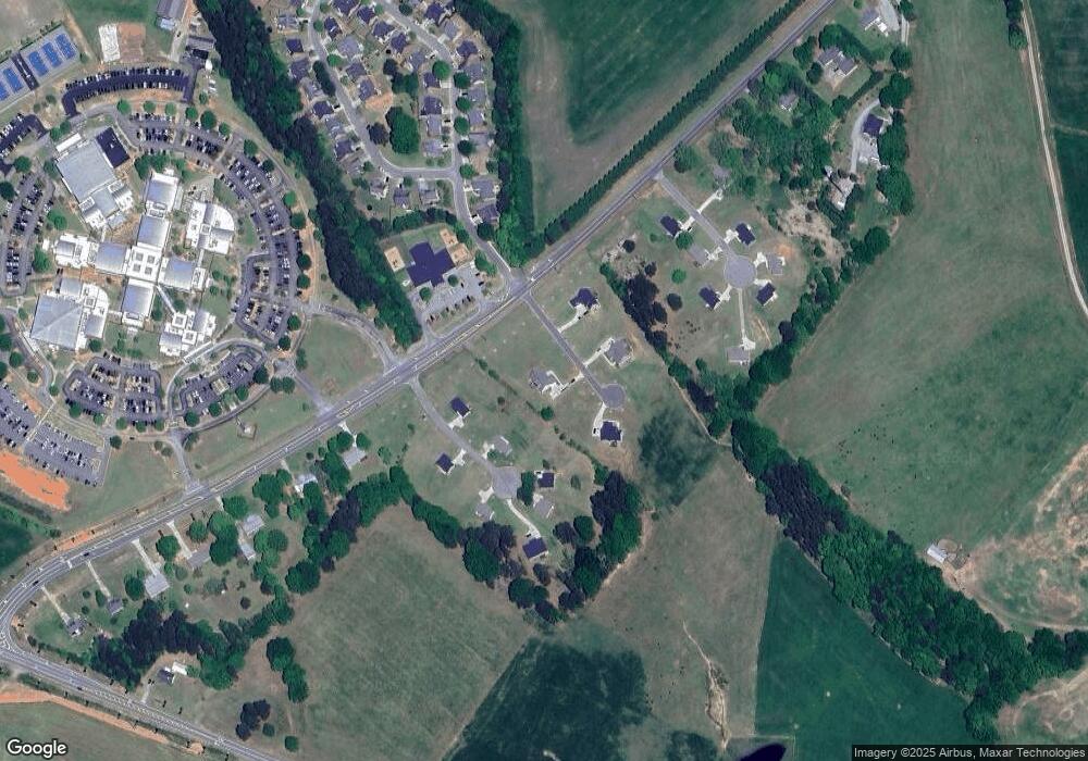
Map
Nearby Homes
- 1224 Malcom Estates Point Lot: 67
- 0 Us 53 Hwy Unit 10376334
- 1496 Malcom Estates Dr
- 1224 Malcom Estates Point Unit Lot 67
- 1491 Virgil Langford Rd
- 0 Clotfelter Rd Unit 1025303
- 0 Hog Mountain Rd Unit 1012659
- 2548 E Princeton Dr
- 1691 Snows Mill Rd
- 2163 Heather Ln
- 2082 Wade Dr
- 1381 Mayfair Way
- 2934 Horseshoe Bend Ln
- 3065 Brookhaven Dr
- 4322 Heather Ln
- 2165 Harperfield Dr
- 1895 Vintage Place
- 1031 Lighthouse Ct
- 1021 Lighthouse Ct
- 1192 Rocky Branch Rd
- 1190 Rocky Branch Rd
- 1041 Lighthouse Ct
- 1020 Lighthouse Ct
- 1030 Lighthouse Ct
- 1050 Lighthouse Ct
- 1181 Rocky Branch Rd
- 1040 Lighthouse Ct
- 1120 Rocky Branch Rd
- 1020 Brookshire Dr
- 1040 Hailey Dr
- 1050 Hailey Dr
- 1030 Hailey Dr
- 1020 Hailey Dr
- 1030 Brookshire Dr
- 1130 Brookshire Ct
- 1120 Brookshire Ct
- 1120 Brookshire Ct