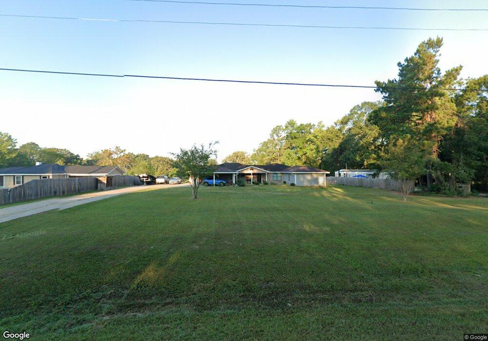
1194 S Fm 706 Lufkin, TX 75904
Estimated Value: $362,380 - $509,000
--
Bed
--
Bath
3,946
Sq Ft
$113/Sq Ft
Est. Value
About This Home
This home is located at 1194 S Fm 706, Lufkin, TX 75904 and is currently estimated at $447,845, approximately $113 per square foot. 1194 S Fm 706 is a home located in Angelina County with nearby schools including W.F. Peavy Primary School, W.H. Bonner Elementary School, and Hudson Middle School.
Ownership History
Date
Name
Owned For
Owner Type
Purchase Details
Closed on
Mar 17, 2021
Sold by
Roy Lawrence J and Roy Travis Joseph
Bought by
Purtell John Martin and Purtell Clara Ann
Current Estimated Value
Home Financials for this Owner
Home Financials are based on the most recent Mortgage that was taken out on this home.
Original Mortgage
$339,226
Outstanding Balance
$304,092
Interest Rate
2.7%
Mortgage Type
VA
Estimated Equity
$143,753
Create a Home Valuation Report for This Property
The Home Valuation Report is an in-depth analysis detailing your home's value as well as a comparison with similar homes in the area
Home Values in the Area
Average Home Value in this Area
Purchase History
| Date | Buyer | Sale Price | Title Company |
|---|---|---|---|
| Purtell John Martin | -- | Security & Guaranty Abstract |
Source: Public Records
Mortgage History
| Date | Status | Borrower | Loan Amount |
|---|---|---|---|
| Open | Purtell John Martin | $339,226 |
Source: Public Records
Tax History Compared to Growth
Tax History
| Year | Tax Paid | Tax Assessment Tax Assessment Total Assessment is a certain percentage of the fair market value that is determined by local assessors to be the total taxable value of land and additions on the property. | Land | Improvement |
|---|---|---|---|---|
| 2025 | $5,793 | $390,290 | $26,870 | $363,420 |
| 2024 | $5,721 | $385,390 | $26,870 | $358,520 |
| 2023 | $5,618 | $380,700 | $26,870 | $353,830 |
| 2022 | $6,162 | $366,270 | $23,240 | $343,030 |
| 2021 | $6,215 | $338,850 | $23,240 | $315,610 |
| 2020 | $5,575 | $303,580 | $12,580 | $291,000 |
| 2019 | $5,620 | $296,100 | $12,220 | $283,880 |
| 2018 | $935 | $289,430 | $12,220 | $277,210 |
| 2017 | $935 | $276,540 | $12,640 | $263,900 |
| 2016 | $3,008 | $268,130 | $12,640 | $255,490 |
| 2015 | $984 | $142,340 | $12,640 | $129,700 |
| 2014 | $984 | $142,820 | $12,640 | $130,180 |
Source: Public Records
Map
Nearby Homes
- 260 Falcon Ave
- 183 Falcon Ave
- 339 Liles Ln
- Lot 2 Bethlehem Rd
- 105,115,116,195 Wilcox Dr
- 151 Lancewood Cir
- 176 Lancewood Cir
- 3335 Bethlehem Rd
- 5740 Hwy 103e
- 3405 Bethlehem Rd
- Derek RD None
- 3202 Bethlehem Rd
- 1072 Stephenson Brown Rd
- 184 Beechnut Cir
- 895 Foster Rd
- Lot 1A Welch Hill Top Rd
- Lot 1D Welch Hill Top Rd
- 885 Foster Rd
- 271 Long Leaf Cir
- TBD James Oates Rd
- 1194 Fm 706s
- 1196 S Fm 706
- 1196 S Fm 706
- 1066 S Fm 706
- 1210 S Fm 706
- 107 Bluejay Cir
- 131 Blue Jay Cir
- 117 Bluejay Cir
- 103 Bluejay Cir
- 103 Blue Jay Cir
- 109 Bluejay Cir
- 109 Blue Jay Cir
- 531 Porter Rd
- 208 Falcon Ave
- 1067 S Fm 706
- 220 Falcon Ave
- 108 Bluejay Cir
- 232 Falcon Ave
- 128 Bluejay Cir
- 110 Bluejay Cir