11941 S Wildcat Rd Molalla, OR 97038
Estimated Value: $580,601 - $673,000
3
Beds
2
Baths
1,808
Sq Ft
$346/Sq Ft
Est. Value
About This Home
This home is located at 11941 S Wildcat Rd, Molalla, OR 97038 and is currently estimated at $626,400, approximately $346 per square foot. 11941 S Wildcat Rd is a home located in Clackamas County.
Ownership History
Date
Name
Owned For
Owner Type
Purchase Details
Closed on
Aug 26, 2024
Sold by
Barnett Debra M
Bought by
Baumgartner Marie
Current Estimated Value
Home Financials for this Owner
Home Financials are based on the most recent Mortgage that was taken out on this home.
Original Mortgage
$464,000
Outstanding Balance
$457,742
Interest Rate
6.35%
Mortgage Type
New Conventional
Estimated Equity
$168,658
Purchase Details
Closed on
Oct 22, 1998
Sold by
Stickley Kevin Earl and Stickley Marlene M
Bought by
Barnett James L and Barnett Debra M
Home Financials for this Owner
Home Financials are based on the most recent Mortgage that was taken out on this home.
Original Mortgage
$209,250
Interest Rate
6.6%
Create a Home Valuation Report for This Property
The Home Valuation Report is an in-depth analysis detailing your home's value as well as a comparison with similar homes in the area
Purchase History
| Date | Buyer | Sale Price | Title Company |
|---|---|---|---|
| Baumgartner Marie | $580,000 | First American Title | |
| Barnett James L | $232,500 | First American Title Ins Co |
Source: Public Records
Mortgage History
| Date | Status | Borrower | Loan Amount |
|---|---|---|---|
| Open | Baumgartner Marie | $464,000 | |
| Previous Owner | Barnett James L | $209,250 |
Source: Public Records
Tax History
| Year | Tax Paid | Tax Assessment Tax Assessment Total Assessment is a certain percentage of the fair market value that is determined by local assessors to be the total taxable value of land and additions on the property. | Land | Improvement |
|---|---|---|---|---|
| 2025 | $4,233 | $307,066 | -- | -- |
| 2024 | $4,095 | $298,123 | -- | -- |
| 2023 | $4,095 | $289,440 | $0 | $0 |
| 2022 | $3,424 | $281,010 | $0 | $0 |
| 2021 | $3,271 | $272,826 | $0 | $0 |
| 2020 | $3,183 | $264,880 | $0 | $0 |
| 2019 | $3,092 | $257,166 | $0 | $0 |
| 2018 | $3,009 | $249,676 | $0 | $0 |
| 2017 | $2,845 | $242,404 | $0 | $0 |
| 2016 | $2,640 | $235,344 | $0 | $0 |
Source: Public Records
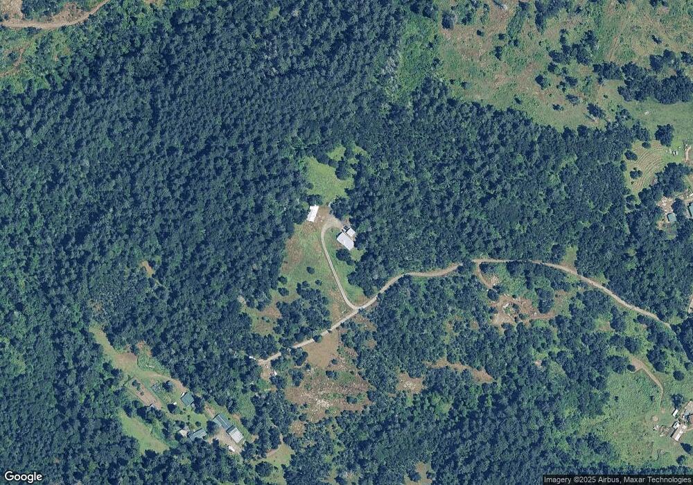
Map
Nearby Homes
- 9924 S Wildcat Rd
- 35267 S Acer Ln
- 10285 S Rosewood Way
- 0 S Wilhoit Rd
- 36175 S Highway 213
- 37905 S Wilhoit Rd
- 36937 S Highway 213
- 36451 S Sawtell Rd
- 13087 S Butte Creek Rd
- 37658 S Highway 213
- 37486 S Highway 213 (Adj To)
- 37486 S Hwy 213 (Adj To)
- 0 Crooked Finger Rd NE Unit 827344
- 0 Crooked Finger Rd NE Unit 265826977
- 000 Crooked Finger Rd NE
- Lot 1600 Crooked Finger Rd NE
- 35517 S Aqua Springs Rd
- 15634 S Fawn View Way
- 15646 S Fawn View Way
- 15776 S Pierce Rd
- 11616 S Wildcat Rd
- 11916 S Wildcat Rd
- 11939 S Wildcat Rd
- 11992 S Wildcat Rd
- 12025 S Fox Rd
- 11550 S Wildcat Rd
- 12012 S Wildcat Rd
- 11498 S Wildcat Rd
- 11831 S Wildcat Rd
- 36550 S Blair Rd
- 11331 S Wildcat Rd
- 12200 S Fox Rd
- 11786 S Wildcat Rd
- 36578 S Blair Rd
- 10477 S Rosewood Way
- 10494 S Comer Creek Dr
- 10515 S Rosewood Way
- 12545 S Wildcat Rd
- 12545 S Wildcat Rd
- 12000 S Quinn Rd