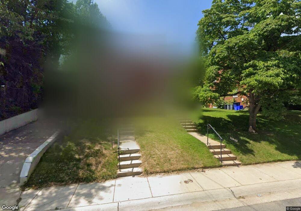
11942 Andrew St Silver Spring, MD 20902
Connecticut Avenue Park NeighborhoodEstimated Value: $329,021 - $374,000
Studio
1
Bath
1,152
Sq Ft
$306/Sq Ft
Est. Value
About This Home
This home is located at 11942 Andrew St, Silver Spring, MD 20902 and is currently estimated at $352,755, approximately $306 per square foot. 11942 Andrew St is a home located in Montgomery County with nearby schools including Highland Elementary School, Newport Mill Middle School, and Albert Einstein High School.
Ownership History
Date
Name
Owned For
Owner Type
Purchase Details
Closed on
Jan 21, 2005
Sold by
Ramos Luz A
Bought by
Ramos Luz Angelica
Current Estimated Value
Purchase Details
Closed on
Aug 17, 1998
Sold by
Sec Of Housing & Urban Dev
Bought by
Luz A Ramos
Purchase Details
Closed on
May 15, 1998
Sold by
Delgado Emma and Delgado Cintron
Bought by
Sec Of Housing & Urban Dev
Purchase Details
Closed on
Jun 7, 1994
Sold by
Best Paul L
Bought by
Delgado Cintron Emma
Home Financials for this Owner
Home Financials are based on the most recent Mortgage that was taken out on this home.
Original Mortgage
$110,250
Interest Rate
8.49%
Create a Home Valuation Report for This Property
The Home Valuation Report is an in-depth analysis detailing your home's value as well as a comparison with similar homes in the area
Home Values in the Area
Average Home Value in this Area
Purchase History
| Date | Buyer | Sale Price | Title Company |
|---|---|---|---|
| Ramos Luz Angelica | -- | -- | |
| Luz A Ramos | $95,000 | -- | |
| Sec Of Housing & Urban Dev | $120,000 | -- | |
| Delgado Cintron Emma | $113,000 | -- |
Source: Public Records
Mortgage History
| Date | Status | Borrower | Loan Amount |
|---|---|---|---|
| Previous Owner | Delgado Cintron Emma | $110,250 |
Source: Public Records
Tax History
| Year | Tax Paid | Tax Assessment Tax Assessment Total Assessment is a certain percentage of the fair market value that is determined by local assessors to be the total taxable value of land and additions on the property. | Land | Improvement |
|---|---|---|---|---|
| 2025 | $4,078 | $320,600 | $150,000 | $170,600 |
| 2024 | $4,078 | $307,033 | $0 | $0 |
| 2023 | $4,594 | $293,467 | $0 | $0 |
| 2022 | $2,876 | $279,900 | $150,000 | $129,900 |
| 2021 | $2,388 | $262,800 | $0 | $0 |
| 2020 | $2,388 | $245,700 | $0 | $0 |
| 2019 | $2,176 | $228,600 | $100,000 | $128,600 |
| 2018 | $2,081 | $221,967 | $0 | $0 |
| 2017 | $2,044 | $215,333 | $0 | $0 |
| 2016 | -- | $208,700 | $0 | $0 |
| 2015 | $1,475 | $196,900 | $0 | $0 |
| 2014 | $1,475 | $185,100 | $0 | $0 |
Source: Public Records
Map
Nearby Homes
- 3410 Embry St
- 11814 College View Dr
- 12106 Bluhill Rd
- 12220 Centerhill St
- 11852 Huggins Dr
- 3726 Ferrara Dr
- 3720 Ferrara Dr
- 3921 Lantern Dr
- 3027 Medway St
- 3008 Hardy Ave
- 4104 Tulare Dr
- 12312 Valleywood Dr
- 4008 Adams Dr
- 3610 Spruell Dr
- 12420 Feldon St
- 11319 Woodson Ave
- 3405 Fredale St
- 12300 Downer Dr
- 12124 Livingston St
- 2904 Fenimore Rd
- 11940 Andrew St
- 11946 Andrew St
- 11948 Andrew St
- 11934 Andrew Ct
- 11936 Andrew Ct
- 11938 Andrew Ct
- 11932 Andrew Ct
- 11950 Andrew St
- 11937 Bluhill Rd
- 11935 Bluhill Rd
- 11933 Bluhill Rd
- 11952 Andrew St
- 11939 Bluhill Rd
- 11931 Bluhill Rd
- 11930 Andrew Ct
- 11941 Bluhill Rd
- 11954 Andrew St
- 11929 Bluhill Rd
- 11943 Bluhill Rd
- 11937 Andrew St
Your Personal Tour Guide
Ask me questions while you tour the home.