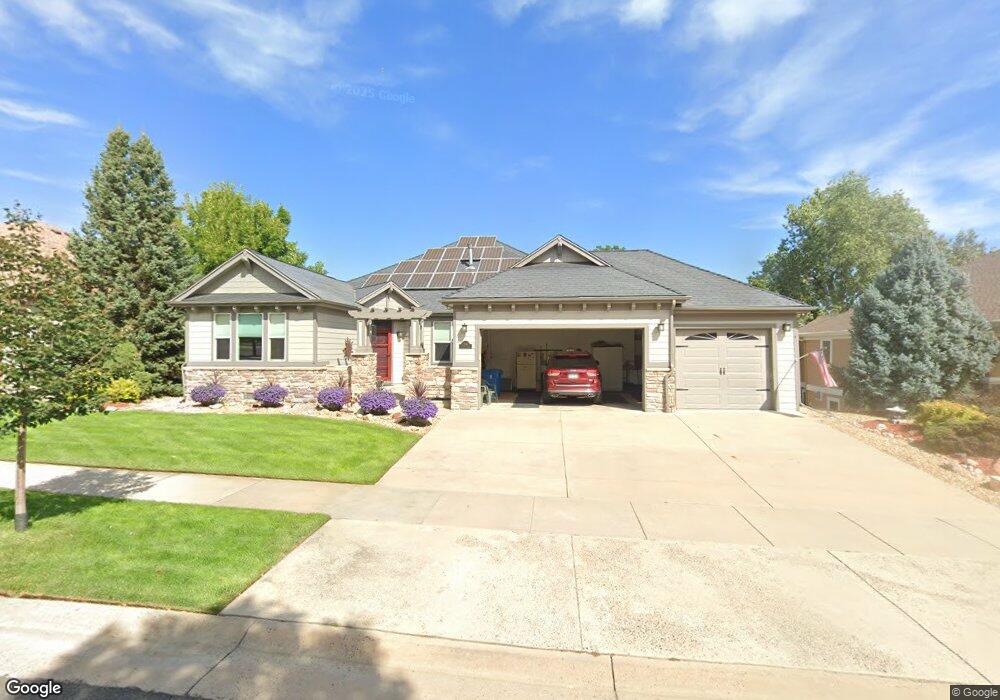
11945 W 67th Place Arvada, CO 80004
Northwest Arvada NeighborhoodEstimated Value: $772,000 - $1,002,000
3
Beds
5
Baths
2,092
Sq Ft
$425/Sq Ft
Est. Value
About This Home
This home is located at 11945 W 67th Place, Arvada, CO 80004 and is currently estimated at $888,079, approximately $424 per square foot. 11945 W 67th Place is a home located in Jefferson County with nearby schools including Fremont Elementary School, Oberon Middle School, and Arvada West High School.
Ownership History
Date
Name
Owned For
Owner Type
Purchase Details
Closed on
Dec 22, 2004
Sold by
Brittany Woodhaven Homes Llc
Bought by
Williams Stephen and Williams Connie C
Current Estimated Value
Home Financials for this Owner
Home Financials are based on the most recent Mortgage that was taken out on this home.
Original Mortgage
$310,750
Outstanding Balance
$149,267
Interest Rate
5.12%
Mortgage Type
Purchase Money Mortgage
Estimated Equity
$738,812
Purchase Details
Closed on
Jun 23, 2004
Sold by
Brittany Land Development Llc
Bought by
Brittany Woodhaven Homes Llc
Create a Home Valuation Report for This Property
The Home Valuation Report is an in-depth analysis detailing your home's value as well as a comparison with similar homes in the area
Home Values in the Area
Average Home Value in this Area
Purchase History
| Date | Buyer | Sale Price | Title Company |
|---|---|---|---|
| Williams Stephen | $535,449 | Chicago Title Co | |
| Brittany Woodhaven Homes Llc | -- | -- |
Source: Public Records
Mortgage History
| Date | Status | Borrower | Loan Amount |
|---|---|---|---|
| Open | Williams Stephen | $310,750 |
Source: Public Records
Tax History Compared to Growth
Tax History
| Year | Tax Paid | Tax Assessment Tax Assessment Total Assessment is a certain percentage of the fair market value that is determined by local assessors to be the total taxable value of land and additions on the property. | Land | Improvement |
|---|---|---|---|---|
| 2024 | $5,649 | $64,942 | $22,223 | $42,719 |
| 2023 | $5,649 | $64,942 | $22,223 | $42,719 |
| 2022 | $4,033 | $48,133 | $17,769 | $30,364 |
| 2021 | $4,100 | $49,518 | $18,280 | $31,238 |
| 2020 | $3,863 | $47,182 | $15,792 | $31,390 |
| 2019 | $3,811 | $47,182 | $15,792 | $31,390 |
| 2018 | $3,357 | $41,489 | $9,032 | $32,457 |
| 2017 | $3,073 | $41,489 | $9,032 | $32,457 |
| 2016 | $2,909 | $38,531 | $8,004 | $30,527 |
| 2015 | $3,317 | $38,531 | $8,004 | $30,527 |
| 2014 | $3,317 | $32,765 | $7,794 | $24,971 |
Source: Public Records
Map
Nearby Homes
- 11925 W 66th Place Unit B
- 11820 W 66th Place Unit A
- 6640 Simms St
- 7049 Van Gordon Ct
- 7080 Simms St Unit 204
- 6470 Simms St Unit C
- 6766 Quail St
- 7130 Simms St Unit 207
- 7154 Welch Ct
- 7255 Taft Ct
- 11640 W 62nd Place Unit 203
- 6440 Wright St
- 11825 W 73rd Dr
- 11626 W 62nd Place Unit 103
- 6506 Pierson St
- 6943 Oak Way
- 6616 Zang Cir
- 6984 Owens St
- 10879 W 65th Way
- 12924 W 64th Dr Unit B
- 11955 W 67th Place
- 11935 W 67th Place
- 6736 Taft Cir
- 6746 Taft Cir
- 11964 W 67th Place
- 6716 Taft Cir
- 11965 W 67th Place
- 6747 Taft St
- 6756 Taft Cir
- 11915 W 67th Place
- 6706 Taft Cir
- 11975 W 67th Place
- 6755 Tabor St
- 6738 Taft Ct
- 6766 Taft Cir
- 6756 Taft St
- 6737 Taft St
- 6767 Taft Cir
- 6727 Taft Cir
- 6775 Tabor St