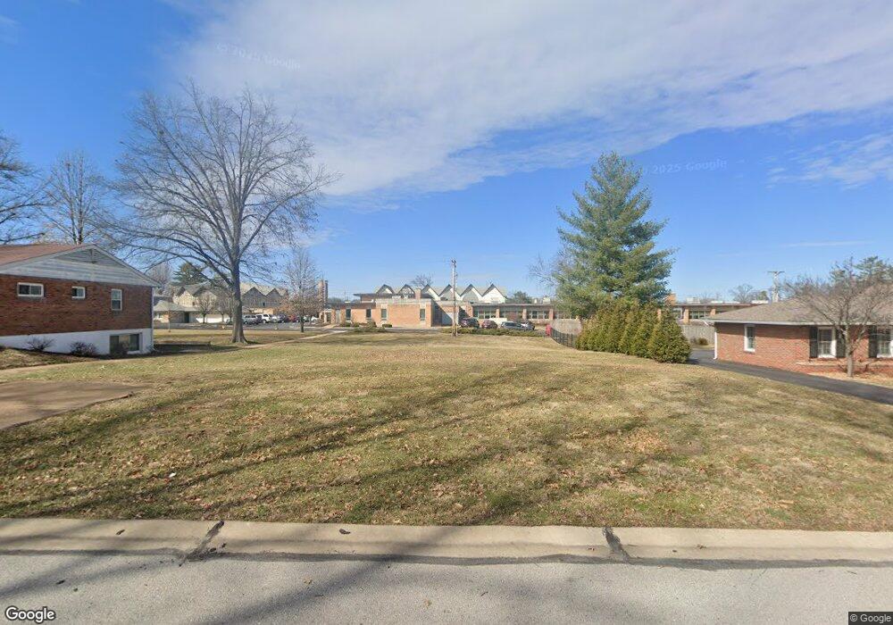
11947 Kendon Dr Saint Louis, MO 63131
Estimated Value: $1,431,000 - $2,159,000
--
Bed
2
Baths
--
Sq Ft
0.41
Acres
About This Home
This home is located at 11947 Kendon Dr, Saint Louis, MO 63131 and is currently estimated at $1,795,000. 11947 Kendon Dr is a home located in St. Louis County with nearby schools including Westchester Elementary School, North Kirkwood Middle School, and Kirkwood Senior High School.
Ownership History
Date
Name
Owned For
Owner Type
Purchase Details
Closed on
Sep 17, 2015
Sold by
Hughes Richard L and Hughes Viola Patricia
Bought by
The St Louis County Catholic Church Real and St Louis County Catholic Church Real Est
Current Estimated Value
Purchase Details
Closed on
Jul 8, 2013
Sold by
Moyers Melinda S and Stricker Michael S
Bought by
Hughes Viola P and Hughes Richard L
Purchase Details
Closed on
Oct 26, 2001
Sold by
Stricker Melvin L and Stricker Suzanne E
Bought by
Stricker Melvin L and Stricker Suzanne E
Create a Home Valuation Report for This Property
The Home Valuation Report is an in-depth analysis detailing your home's value as well as a comparison with similar homes in the area
Home Values in the Area
Average Home Value in this Area
Purchase History
| Date | Buyer | Sale Price | Title Company |
|---|---|---|---|
| The St Louis County Catholic Church Real | -- | Orntic St Louis | |
| Hughes Viola P | -- | -- | |
| Moyers Melinda S | -- | -- | |
| Stricker Melvin L | -- | First American Title |
Source: Public Records
Tax History Compared to Growth
Tax History
| Year | Tax Paid | Tax Assessment Tax Assessment Total Assessment is a certain percentage of the fair market value that is determined by local assessors to be the total taxable value of land and additions on the property. | Land | Improvement |
|---|---|---|---|---|
| 2025 | $3,052 | $70,600 | $70,600 | -- |
| 2024 | $3,004 | $52,990 | $52,990 | -- |
| 2023 | $3,004 | $52,990 | $52,990 | $0 |
| 2022 | $3,223 | $52,990 | $52,990 | $0 |
| 2021 | $3,188 | $52,990 | $52,990 | $0 |
| 2020 | $3,060 | $48,910 | $48,910 | $0 |
| 2019 | $3,064 | $48,910 | $48,910 | $0 |
| 2018 | $1,905 | $27,280 | $27,280 | $0 |
| 2017 | $1,910 | $27,280 | $27,280 | $0 |
| 2016 | $1,622 | $23,470 | $23,470 | $0 |
| 2015 | $1,624 | $23,470 | $23,470 | $0 |
| 2014 | $2,921 | $40,860 | $10,740 | $30,120 |
Source: Public Records
Map
Nearby Homes
- 8 Briarbrook Trail
- 1126 Bopp Rd
- 723 Oak Valley Dr
- 1728 Folkstone Dr
- 1345 Woodgate Dr
- 1090 Kinstern Dr
- 1741 Pine Hill Dr
- 1029 Kinstern Dr
- 811 Cherry St
- 12439 Springdale Ln Unit TBB
- 11909 Lillian Ave
- 11913 Lillian Ave
- 12006 Montour Dr
- 918 N Ballas Rd
- The Hawthorne Plan at Ballas Ridge
- The Roclare II Plan at Ballas Ridge
- The Westchester IV Plan at Ballas Ridge
- The Nottingham II Plan at Ballas Ridge
- The Hawthorne II Plan at Ballas Ridge
- TBB
- 11955 Kendon Dr
- 11939 Kendon Dr
- 11946 Kendon Dr
- 11931 Kendon Dr
- 1456 Bopp Rd
- 11963 Kendon Dr
- 1414 Marlann Dr
- 11921 Kendon Dr
- 11960 Kendon Dr
- 1417 Marlann Dr
- 11924 Kendon Dr
- 1432 Bopp Rd
- 11915 Kendon Dr
- 1400 Marlann Dr
- 1409 Marlann Dr
- 11916 Kendon Dr
- 11939 Hargrove Dr
- 1424 Bopp Rd
- 1447 Bopp Rd
- 11907 Kendon Dr