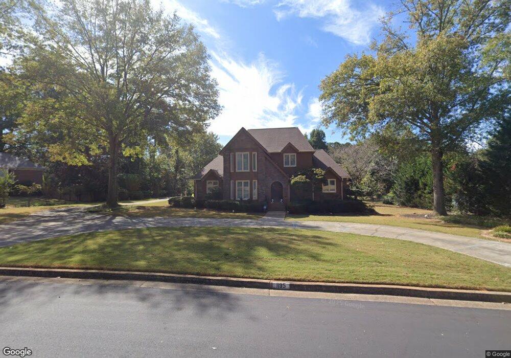
1195 Azalea Cir SE Unit 1 Conyers, GA 30013
Estimated Value: $379,633 - $509,000
4
Beds
3
Baths
3,322
Sq Ft
$130/Sq Ft
Est. Value
About This Home
This home is located at 1195 Azalea Cir SE Unit 1, Conyers, GA 30013 and is currently estimated at $431,408, approximately $129 per square foot. 1195 Azalea Cir SE Unit 1 is a home located in Rockdale County with nearby schools including Flat Shoals Elementary School, Memorial Middle School, and Rockdale County High School.
Ownership History
Date
Name
Owned For
Owner Type
Purchase Details
Closed on
Jul 3, 2002
Sold by
Mcneal Wendell D
Bought by
Thrasher Leroy and Thrasher Helen D
Current Estimated Value
Home Financials for this Owner
Home Financials are based on the most recent Mortgage that was taken out on this home.
Original Mortgage
$125,000
Interest Rate
6.79%
Mortgage Type
New Conventional
Purchase Details
Closed on
May 18, 1994
Sold by
Brinkley Earl F and Brinkley Linda W
Bought by
Mcneal Wendell D
Home Financials for this Owner
Home Financials are based on the most recent Mortgage that was taken out on this home.
Original Mortgage
$134,500
Interest Rate
8.24%
Create a Home Valuation Report for This Property
The Home Valuation Report is an in-depth analysis detailing your home's value as well as a comparison with similar homes in the area
Home Values in the Area
Average Home Value in this Area
Purchase History
| Date | Buyer | Sale Price | Title Company |
|---|---|---|---|
| Thrasher Leroy | $235,000 | -- | |
| Mcneal Wendell D | $184,500 | -- |
Source: Public Records
Mortgage History
| Date | Status | Borrower | Loan Amount |
|---|---|---|---|
| Closed | Thrasher Leroy | $125,000 | |
| Previous Owner | Mcneal Wendell D | $134,500 |
Source: Public Records
Tax History Compared to Growth
Tax History
| Year | Tax Paid | Tax Assessment Tax Assessment Total Assessment is a certain percentage of the fair market value that is determined by local assessors to be the total taxable value of land and additions on the property. | Land | Improvement |
|---|---|---|---|---|
| 2024 | $1,406 | $164,240 | $39,400 | $124,840 |
| 2023 | $972 | $141,960 | $35,240 | $106,720 |
| 2022 | $1,034 | $136,160 | $35,240 | $100,920 |
| 2021 | $334 | $107,920 | $25,200 | $82,720 |
| 2020 | $271 | $98,160 | $24,560 | $73,600 |
| 2019 | $37 | $85,080 | $15,000 | $70,080 |
| 2018 | $161 | $85,080 | $15,000 | $70,080 |
| 2017 | $37 | $76,760 | $15,000 | $61,760 |
| 2016 | $37 | $68,360 | $15,880 | $52,480 |
| 2015 | $37 | $68,360 | $15,880 | $52,480 |
| 2014 | $61 | $65,880 | $13,400 | $52,480 |
| 2013 | -- | $85,000 | $21,600 | $63,400 |
Source: Public Records
Map
Nearby Homes
- 1180 Azalea Cir SE
- 1135 Vineyard Dr SE
- 2474 Harvest Dr SE
- 2561 Old Salem Cir SE
- 1260 Sweet Shrub Ln SE
- 2405 Old Salem Rd SE Unit 1
- 2684 Harvest Dr SE
- 2259 Old Salem Rd SE
- 952 Jimson Dr SE
- 2754 Harvest Dr SE
- 2791 Wellington Way SE Unit 1
- 2165 Old Salem Rd SE
- 1613 Brentwood Crossing SE Unit 3
- 2235 Kings Forest Dr SE
- 2225 Kings Forest Dr SE
- 2215 Kings Forest Dr SE
- 1242 Saxony Dr SE
- 2193 Kings Forest Dr SE
- 1408 Aramore Dr SE
- 784 Stieff Ct SE
- 1185 Azalea Cir SE
- 1205 Azalea Cir SE
- 1215 Azalea Cir SE
- 1163 Winterberry Way SE Unit 3
- 1175 Azalea Cir SE
- 1170 Azalea Cir SE
- 1158 Winterberry Way SE Unit 3
- 1160 Azalea Cir SE
- 1225 Azalea Cir SE
- 1190 Azalea Cir SE
- 1190 Azalea Cir SE Unit 6
- 1165 Azalea Cir SE
- 0 Azalea Cir SE Unit 3181322
- 0 Azalea Cir SE Unit 8799591
- 0 Azalea Cir SE Unit 8449431
- 0 Azalea Cir SE Unit 8323096
- 0 Azalea Cir SE Unit 8397151
- 0 Azalea Cir SE Unit 2938317
- 0 Azalea Cir SE Unit 7140339
- 0 Azalea Cir SE