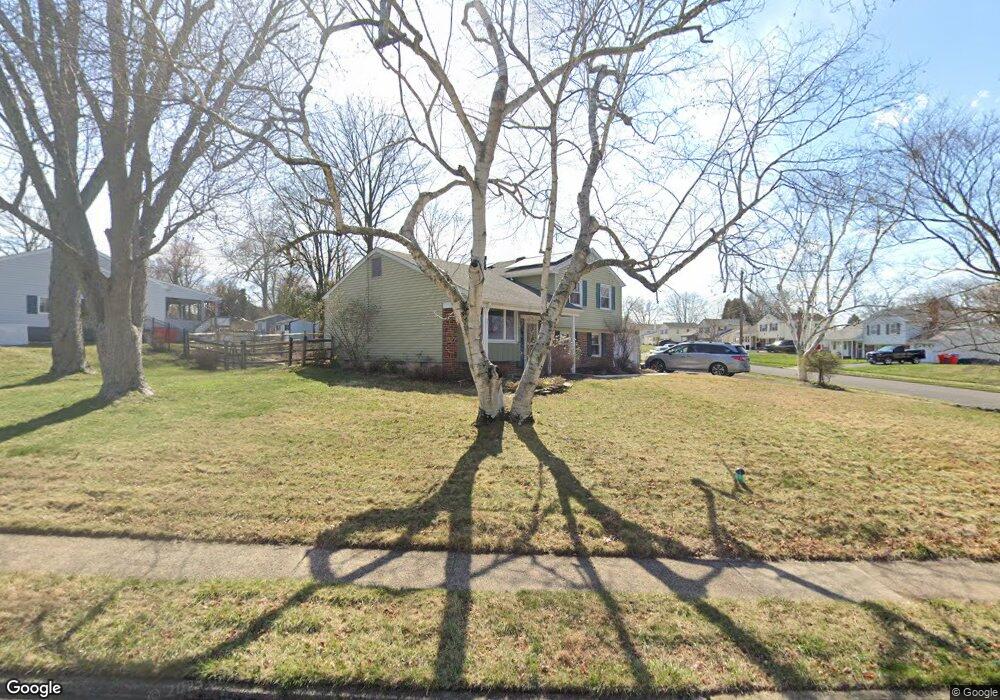
1195 Dager Rd Warminster, PA 18974
Estimated Value: $441,000 - $482,000
3
Beds
2
Baths
1,107
Sq Ft
$418/Sq Ft
Est. Value
About This Home
This home is located at 1195 Dager Rd, Warminster, PA 18974 and is currently estimated at $462,857, approximately $418 per square foot. 1195 Dager Rd is a home located in Bucks County with nearby schools including Willow Dale Elementary School, Log College Middle School, and William Tennent High School.
Ownership History
Date
Name
Owned For
Owner Type
Purchase Details
Closed on
Oct 24, 1997
Sold by
Wirtz William J and Wirtz Grace I
Bought by
Beveridge Michael J and Beveridge Kathleen Welsh
Current Estimated Value
Home Financials for this Owner
Home Financials are based on the most recent Mortgage that was taken out on this home.
Original Mortgage
$112,400
Outstanding Balance
$17,174
Interest Rate
7.31%
Estimated Equity
$445,683
Purchase Details
Closed on
Mar 3, 1964
Bought by
Wirtz William J and Wirtz Grace I
Create a Home Valuation Report for This Property
The Home Valuation Report is an in-depth analysis detailing your home's value as well as a comparison with similar homes in the area
Home Values in the Area
Average Home Value in this Area
Purchase History
| Date | Buyer | Sale Price | Title Company |
|---|---|---|---|
| Beveridge Michael J | $149,900 | -- | |
| Wirtz William J | -- | -- |
Source: Public Records
Mortgage History
| Date | Status | Borrower | Loan Amount |
|---|---|---|---|
| Open | Beveridge Michael J | $112,400 |
Source: Public Records
Tax History
| Year | Tax Paid | Tax Assessment Tax Assessment Total Assessment is a certain percentage of the fair market value that is determined by local assessors to be the total taxable value of land and additions on the property. | Land | Improvement |
|---|---|---|---|---|
| 2025 | $5,066 | $24,000 | $5,600 | $18,400 |
| 2024 | $5,066 | $24,000 | $5,600 | $18,400 |
| 2023 | $4,910 | $24,000 | $5,600 | $18,400 |
| 2022 | $4,805 | $24,000 | $5,600 | $18,400 |
| 2021 | $4,693 | $24,000 | $5,600 | $18,400 |
| 2020 | $4,627 | $24,000 | $5,600 | $18,400 |
| 2019 | $4,381 | $24,000 | $5,600 | $18,400 |
| 2018 | $4,276 | $24,000 | $5,600 | $18,400 |
| 2017 | $4,151 | $24,000 | $5,600 | $18,400 |
| 2016 | $4,151 | $24,000 | $5,600 | $18,400 |
| 2015 | $4,084 | $24,000 | $5,600 | $18,400 |
| 2014 | $4,084 | $24,000 | $5,600 | $18,400 |
Source: Public Records
Map
Nearby Homes
- Lot 19 Kennedy Way
- 1067 Log College Dr
- 1167 W Bristol Rd
- 980 Marshall Dr
- 0 W Bristol Rd
- 992 Jamison St
- 1465 Breton Hill Dr
- 1024 Gates Place
- 942 Stein Ct
- 916 Log College Dr
- 1477 Stony Rd Unit RUTLEDGE
- 1477 Stony Rd
- 1493 Maguire Ln
- 1501 Stony Rd
- 1525 Stony Rd Unit RAINTREE
- 1036 Oakwood Dr
- 1402 Valley View
- 0 Stony Rd Unit ROLLINS
- 0 Stony Rd Unit KINGSWOOD
- 0 Stony Rd Unit CLOVERFIELD
Your Personal Tour Guide
Ask me questions while you tour the home.