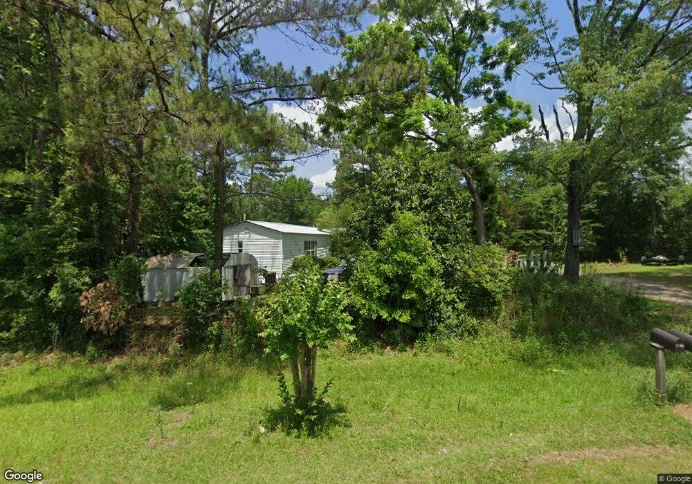
1195 Joe Adams Rd Unit QU Quincy, FL 32351
Estimated Value: $105,000 - $208,000
8
Beds
1
Bath
3,528
Sq Ft
$47/Sq Ft
Est. Value
About This Home
This home is located at 1195 Joe Adams Rd Unit QU, Quincy, FL 32351 and is currently estimated at $164,375, approximately $46 per square foot. 1195 Joe Adams Rd Unit QU is a home located in Gadsden County with nearby schools including Crossroad Academy.
Ownership History
Date
Name
Owned For
Owner Type
Purchase Details
Closed on
Mar 21, 2022
Sold by
Alfred Robinson
Bought by
Bell John Junior
Current Estimated Value
Purchase Details
Closed on
Feb 4, 2020
Sold by
Robinson Alfred
Bought by
Bell John Junior and Robinson Alfred
Purchase Details
Closed on
Sep 9, 2019
Sold by
Reid Vivian Tribue
Bought by
Robinson Alfred
Purchase Details
Closed on
Jun 14, 2001
Sold by
Tribue Willie
Bought by
Reid Vivian Tribue
Create a Home Valuation Report for This Property
The Home Valuation Report is an in-depth analysis detailing your home's value as well as a comparison with similar homes in the area
Home Values in the Area
Average Home Value in this Area
Purchase History
| Date | Buyer | Sale Price | Title Company |
|---|---|---|---|
| Bell John Junior | -- | Hinson Alexander L | |
| Bell John Junior | $500 | None Available | |
| Robinson Alfred | -- | None Available | |
| Reid Vivian Tribue | -- | -- |
Source: Public Records
Tax History Compared to Growth
Tax History
| Year | Tax Paid | Tax Assessment Tax Assessment Total Assessment is a certain percentage of the fair market value that is determined by local assessors to be the total taxable value of land and additions on the property. | Land | Improvement |
|---|---|---|---|---|
| 2024 | $1,436 | $105,163 | $24,220 | $80,943 |
| 2023 | $1,269 | $87,613 | $24,220 | $63,393 |
| 2022 | $809 | $55,682 | $17,300 | $38,382 |
| 2021 | $479 | $32,151 | $17,300 | $14,851 |
| 2020 | $474 | $31,910 | $17,300 | $14,610 |
| 2019 | $486 | $32,051 | $17,300 | $14,751 |
| 2018 | $494 | $32,051 | $0 | $0 |
| 2017 | $496 | $32,051 | $0 | $0 |
| 2016 | $504 | $32,051 | $0 | $0 |
| 2015 | $513 | $32,051 | $0 | $0 |
| 2014 | $515 | $32,051 | $0 | $0 |
Source: Public Records
Map
Nearby Homes
- XXXX Strong Rd
- 762 Strong Rd
- XX Pat Thomas Pkwy
- 944 Strong Rd
- TBD Pat Thomas Pkwy
- 1204 Canal St
- 000 Circle Dr
- 1127 Hill St
- 799 S Pat Thomas Pkwy
- 0 Cooper Blvd Unit LotWP001 24911800
- 0 Cooper Blvd Unit 779416
- 1165 Selman Rd
- 00 Blue Star Hwy
- xxx Cleveland St
- 332 S Shadow St
- 3809 High Bridge Rd
- 3-12-2N-4W-1100-0000 Station St
- 210 Marshall St
- 244 Shiloh Rd
- 531 Williams St
- 1176 Joe Adams Rd
- 0 Joe Adams Rd Unit 222024336
- 0 Joe Adams Rd
- 1200 Joe Adams Rd
- 1181 Joe Adams Rd
- 47 Betsey Ln
- 1096 Joe Adams Rd
- 35 Koonce Ln
- 25 Koonce Ln
- 1054 Joe Adams Rd
- 36 Koonce Ln
- 12 Koonce Ln
- 1042 Joe Adams Rd
- 1029 Joe Adams Rd
- 7 Koonce Ln
- 1026 Joe Adams Rd
- 1012 Joe Adams Rd
- 1068 Joe Adams Rd
- 981 Joe Adams Rd
- 330 Ray Rd