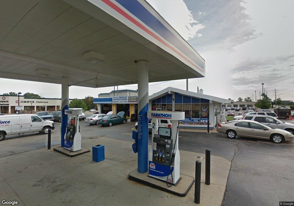
1195 Rohlwing Rd Elk Grove Village, IL 60007
Elk Grove Village West NeighborhoodEstimated Value: $1,061,765
--
Bed
--
Bath
--
Sq Ft
0.7
Acres
About This Home
This home is located at 1195 Rohlwing Rd, Elk Grove Village, IL 60007 and is currently estimated at $1,061,765. 1195 Rohlwing Rd is a home located in Cook County with nearby schools including Frederick Nerge Elementary School, Margaret Mead Junior High School, and J B Conant High School.
Ownership History
Date
Name
Owned For
Owner Type
Purchase Details
Closed on
Apr 12, 2009
Sold by
Mpco Real Estate Llc
Bought by
Ekm Properties Llc
Current Estimated Value
Home Financials for this Owner
Home Financials are based on the most recent Mortgage that was taken out on this home.
Original Mortgage
$611,000
Interest Rate
6%
Mortgage Type
Commercial
Purchase Details
Closed on
Dec 31, 2008
Sold by
Marathon Petroleum Company Llc
Bought by
Mpco Real Estate Llc
Home Financials for this Owner
Home Financials are based on the most recent Mortgage that was taken out on this home.
Original Mortgage
$7,960,000
Interest Rate
5.08%
Mortgage Type
Commercial
Purchase Details
Closed on
Dec 18, 1997
Sold by
Marathon Oil Company
Bought by
Marathon Ashland Petroleum Llc
Create a Home Valuation Report for This Property
The Home Valuation Report is an in-depth analysis detailing your home's value as well as a comparison with similar homes in the area
Home Values in the Area
Average Home Value in this Area
Purchase History
| Date | Buyer | Sale Price | Title Company |
|---|---|---|---|
| Ekm Properties Llc | $650,000 | Cti | |
| Mpco Real Estate Llc | $480,000 | None Available | |
| Marathon Ashland Petroleum Llc | -- | -- |
Source: Public Records
Mortgage History
| Date | Status | Borrower | Loan Amount |
|---|---|---|---|
| Closed | Ekm Properties Llc | $611,000 | |
| Previous Owner | Mpco Real Estate Llc | $7,960,000 |
Source: Public Records
Tax History Compared to Growth
Tax History
| Year | Tax Paid | Tax Assessment Tax Assessment Total Assessment is a certain percentage of the fair market value that is determined by local assessors to be the total taxable value of land and additions on the property. | Land | Improvement |
|---|---|---|---|---|
| 2024 | $33,034 | $115,185 | $102,685 | $12,500 |
| 2023 | $32,181 | $115,185 | $102,685 | $12,500 |
| 2022 | $32,181 | $115,185 | $102,685 | $12,500 |
| 2021 | $39,572 | $125,500 | $102,684 | $22,816 |
| 2020 | $38,597 | $125,500 | $102,684 | $22,816 |
| 2019 | $34,898 | $125,500 | $102,684 | $22,816 |
| 2018 | $38,755 | $124,940 | $60,850 | $64,090 |
| 2017 | $58,048 | $189,031 | $60,850 | $128,181 |
| 2016 | $54,113 | $189,031 | $60,850 | $128,181 |
| 2015 | $58,374 | $190,154 | $57,046 | $133,108 |
| 2014 | $57,622 | $190,154 | $57,046 | $133,108 |
| 2013 | $56,194 | $190,154 | $57,046 | $133,108 |
Source: Public Records
Map
Nearby Homes
- 1057 Savoy Ct Unit 221713
- 1093 Gloria Dr
- 1189 Grissom Trail
- 1297 Old Mill Ln Unit 534
- 1057 Talbots Ln Unit A
- 716 Clover Hill Ct
- 1124 Lovell Ct
- 258 Bay Dr
- 504 Highland Pkwy
- 870 Debra Ln
- 146 Bay Dr
- 966 Willow St Unit 32
- 579 Bristol Ln
- 361 W Prairie Cir Unit 176
- 1517 White Trail
- 904 Willow St
- 797 Geneva Cir
- 815 Leicester Rd Unit A211
- 520 Biesterfield Rd Unit D318
- 1022 Tennessee Ln
- 1501 Wm Clifford Ln
- 1509 William Clifford Ln
- 1513 Wm Clifford Ln
- 1509 Wm Clifford Ln
- 1525 Wm Clifford Ln
- 1505 Wm Clifford Ln
- 1517 Wm Clifford Ln
- 1521 Wm Clifford Ln
- 1493 William Clifford Ln
- 1140 W Devon Ave
- 1486 Wm Clifford Ln
- 1470 Wm Clifford Ln
- 1498 Wm Clifford Ln
- 1490 Wm Clifford Ln
- 1466 Wm Clifford Ln
- 1474 Wm Clifford Ln
- 1502 Wm Clifford Ln
- 1482 Wm Clifford Ln
- 1494 Wm Clifford Ln
- 1501 Mitchell Trail