Estimated Value: $268,000 - $519,000
2
Beds
3
Baths
2,396
Sq Ft
$174/Sq Ft
Est. Value
About This Home
This home is located at 1195 Upper Bellbrook Rd, Xenia, OH 45385 and is currently estimated at $416,111, approximately $173 per square foot. 1195 Upper Bellbrook Rd is a home located in Greene County with nearby schools including Xenia High School and Summit Academy Community School for Alternative Learners - Xenia.
Ownership History
Date
Name
Owned For
Owner Type
Purchase Details
Closed on
May 30, 2003
Sold by
Manufacturers & Traders Trust Co
Bought by
Falls Craig A and Falls Denise A
Current Estimated Value
Home Financials for this Owner
Home Financials are based on the most recent Mortgage that was taken out on this home.
Original Mortgage
$133,000
Outstanding Balance
$47,530
Interest Rate
3.25%
Mortgage Type
Unknown
Estimated Equity
$368,581
Purchase Details
Closed on
Feb 24, 2003
Sold by
Adams Larry T and Adams Linda K
Bought by
Manufacturers & Traders Trust Co and Securitization Series 1998-2 Agreement
Create a Home Valuation Report for This Property
The Home Valuation Report is an in-depth analysis detailing your home's value as well as a comparison with similar homes in the area
Home Values in the Area
Average Home Value in this Area
Purchase History
| Date | Buyer | Sale Price | Title Company |
|---|---|---|---|
| Falls Craig A | $144,000 | -- | |
| Manufacturers & Traders Trust Co | $160,000 | Accutitle Agency Inc |
Source: Public Records
Mortgage History
| Date | Status | Borrower | Loan Amount |
|---|---|---|---|
| Open | Falls Craig A | $133,000 |
Source: Public Records
Tax History Compared to Growth
Tax History
| Year | Tax Paid | Tax Assessment Tax Assessment Total Assessment is a certain percentage of the fair market value that is determined by local assessors to be the total taxable value of land and additions on the property. | Land | Improvement |
|---|---|---|---|---|
| 2024 | $4,136 | $85,530 | $25,210 | $60,320 |
| 2023 | $4,136 | $85,530 | $25,210 | $60,320 |
| 2022 | $4,371 | $76,800 | $25,210 | $51,590 |
| 2021 | $4,425 | $76,800 | $25,210 | $51,590 |
| 2020 | $4,264 | $76,800 | $25,210 | $51,590 |
| 2019 | $4,299 | $72,270 | $25,210 | $47,060 |
| 2018 | $4,063 | $72,270 | $25,210 | $47,060 |
| 2017 | $3,958 | $72,270 | $25,210 | $47,060 |
| 2016 | $3,976 | $70,200 | $25,210 | $44,990 |
| 2015 | $3,989 | $70,200 | $25,210 | $44,990 |
| 2014 | $3,806 | $70,200 | $25,210 | $44,990 |
Source: Public Records
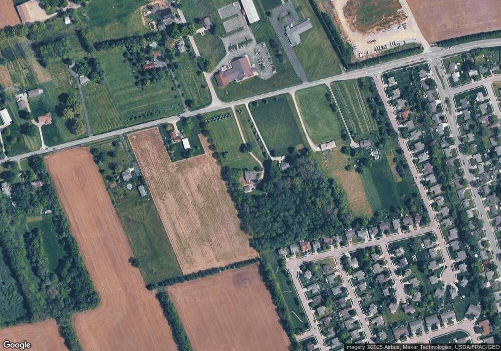
Map
Nearby Homes
- 414 Whisper Ln
- 219 Kansas Dr
- 161 Montana Dr
- 2142 Michigan Dr
- 1874 Pennsylvania Dr
- 1403 Texas Dr
- 1321 Massachusetts Dr
- 121 S Progress Dr
- 1778 Arapaho Dr
- 1255 Colorado Dr
- 1750 Roxbury Dr
- 2499 Jenny Marie Dr
- 2421 Louisiana Dr
- 1161 Shannon Ln
- 1144 Rockwell Dr
- 1248 Prem Place
- 0 Berkshire Dr Unit 949217
- 1348 Berkshire Dr
- 1318 Prem Place
- 91 Tackett Dr
- 1183 Upper Bellbrook Rd
- 1157 Upper Bellbrook Rd
- 2278 Harmony Dr
- 2264 Harmony Dr
- 2250 Harmony Dr
- 2236 Harmony Dr
- 2222 Harmony Dr
- 210 Haines Rd
- 2208 Harmony Dr
- 2271 Harmony Dr
- 2194 Harmony Dr
- 296 Georgia Dr
- 1265 Upper Bellbrook Rd
- 1137 Upper Bellbrook Rd
- 2180 Harmony Dr
- 2285 Harmony Dr
- 2166 Harmony Dr
- 2199 Harmony Dr
- 2299 Harmony Dr
- 2152 Harmony Dr