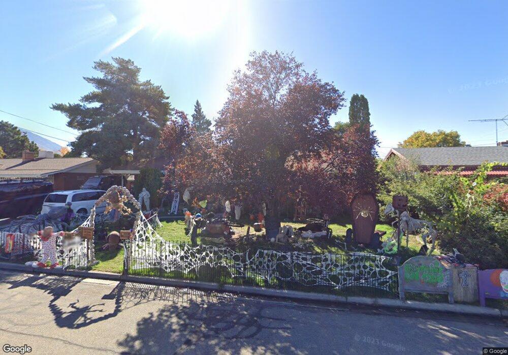
1195 W 1300 N Provo, UT 84604
Grandview South NeighborhoodEstimated Value: $513,000 - $555,000
5
Beds
3
Baths
2,532
Sq Ft
$212/Sq Ft
Est. Value
About This Home
This home is located at 1195 W 1300 N, Provo, UT 84604 and is currently estimated at $537,023, approximately $212 per square foot. 1195 W 1300 N is a home located in Utah County with nearby schools including Westridge Elementary School, Dixon Middle School, and Provo High School.
Ownership History
Date
Name
Owned For
Owner Type
Purchase Details
Closed on
Jan 20, 2017
Sold by
The Thurgood Family Trust
Bought by
Thurgood Bryce Cody and Thurgood Taylor Marie
Current Estimated Value
Purchase Details
Closed on
Apr 21, 2016
Sold by
Thurgood Steven K and Thurgood Kathleen E
Bought by
Thurgood Steven K and Thurgood Kathleen A
Purchase Details
Closed on
Jun 12, 2015
Sold by
Orton Brent Nelson and Orton Family Trust
Bought by
Thurgood Steven and Thurgood Kathleen
Create a Home Valuation Report for This Property
The Home Valuation Report is an in-depth analysis detailing your home's value as well as a comparison with similar homes in the area
Home Values in the Area
Average Home Value in this Area
Purchase History
| Date | Buyer | Sale Price | Title Company |
|---|---|---|---|
| Thurgood Bryce Cody | -- | First American Title | |
| Thurgood Steven K | -- | None Available | |
| Thurgood Steven | -- | Northwest Title Ins Age |
Source: Public Records
Tax History Compared to Growth
Tax History
| Year | Tax Paid | Tax Assessment Tax Assessment Total Assessment is a certain percentage of the fair market value that is determined by local assessors to be the total taxable value of land and additions on the property. | Land | Improvement |
|---|---|---|---|---|
| 2025 | $2,445 | $265,540 | $186,400 | $296,400 |
| 2024 | $2,445 | $240,625 | $0 | $0 |
| 2023 | $2,455 | $238,205 | $0 | $0 |
| 2022 | $2,522 | $246,785 | $0 | $0 |
| 2021 | $1,919 | $327,500 | $118,300 | $209,200 |
| 2020 | $1,850 | $296,000 | $107,500 | $188,500 |
| 2019 | $1,768 | $294,100 | $107,500 | $186,600 |
| 2018 | $1,553 | $262,100 | $99,800 | $162,300 |
| 2017 | $1,450 | $134,475 | $0 | $0 |
| 2016 | $1,532 | $132,440 | $0 | $0 |
| 2015 | $1,516 | $132,440 | $0 | $0 |
| 2014 | $1,257 | $114,455 | $0 | $0 |
Source: Public Records
Map
Nearby Homes
- 1250 Jordan Ave
- 1188 W 1380 N
- 1375 W 1460 N
- 1525 N 1250 W
- 1471 W 1460 N
- 1149 N 850 W
- 1254 N 800 W
- 1620 W 1000 N
- 920 W Columbia Ln
- 1633 Woodland Dr
- 1451 Arthur Dr
- 1685 Hickory Ln
- 1763 Willowbrook Dr Unit 4D1
- 1661 Willowbrook Dr
- 1454 Lancelot Dr Unit 6F
- 630 N 1100 W
- 932 N 1760 W
- 1533 N Riverside Ave Unit 27
- 1215 W 580 N
- 927 Independence Ave