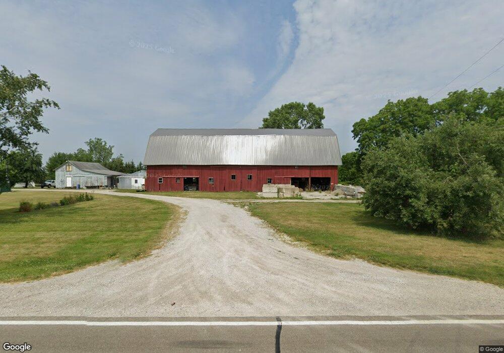
11950 Ridge Hwy Tecumseh, MI 49286
Estimated Value: $313,895 - $468,000
6
Beds
2
Baths
2,424
Sq Ft
$161/Sq Ft
Est. Value
About This Home
This home is located at 11950 Ridge Hwy, Tecumseh, MI 49286 and is currently estimated at $390,948, approximately $161 per square foot. 11950 Ridge Hwy is a home located in Lenawee County with nearby schools including Britton-Macon Area School.
Ownership History
Date
Name
Owned For
Owner Type
Purchase Details
Closed on
Jan 31, 2012
Sold by
Kempf Karl L and Kempf Jody Ann
Bought by
Kempf Karl L
Current Estimated Value
Purchase Details
Closed on
Jan 28, 2005
Sold by
Kempf Karl L and Kempf Cora B
Bought by
Kempf Karl L
Home Financials for this Owner
Home Financials are based on the most recent Mortgage that was taken out on this home.
Original Mortgage
$152,000
Outstanding Balance
$82,872
Interest Rate
6.87%
Mortgage Type
Adjustable Rate Mortgage/ARM
Estimated Equity
$308,076
Create a Home Valuation Report for This Property
The Home Valuation Report is an in-depth analysis detailing your home's value as well as a comparison with similar homes in the area
Home Values in the Area
Average Home Value in this Area
Purchase History
| Date | Buyer | Sale Price | Title Company |
|---|---|---|---|
| Kempf Karl L | -- | Midstate Title Agency | |
| Kempf Karl L | -- | Metropoitan Title Co |
Source: Public Records
Mortgage History
| Date | Status | Borrower | Loan Amount |
|---|---|---|---|
| Open | Kempf Karl L | $152,000 |
Source: Public Records
Tax History Compared to Growth
Tax History
| Year | Tax Paid | Tax Assessment Tax Assessment Total Assessment is a certain percentage of the fair market value that is determined by local assessors to be the total taxable value of land and additions on the property. | Land | Improvement |
|---|---|---|---|---|
| 2025 | $2,084 | $155,100 | $0 | $0 |
| 2024 | $846 | $145,300 | $0 | $0 |
| 2023 | $1,741 | $131,400 | $0 | $0 |
| 2022 | $743 | $117,500 | $0 | $0 |
| 2021 | $1,857 | $105,800 | $0 | $0 |
| 2020 | $1,886 | $104,400 | $0 | $0 |
| 2019 | $146,420 | $25,900 | $0 | $0 |
| 2018 | $1,786 | $25,918 | $0 | $0 |
| 2017 | $1,405 | $89,636 | $0 | $0 |
| 2016 | $1,276 | $86,017 | $0 | $0 |
| 2014 | -- | $94,969 | $0 | $0 |
Source: Public Records
Map
Nearby Homes
- 18200 Sherman Rd
- 1606 Mooreville Rd
- 13187 Macon Rd
- 10678 Valley View Dr
- 9626 Valley View Ct
- 10649 Valley View Dr
- 10643 Valley View Dr
- 10603 Milwaukee Rd
- 0 W Braun Rd Unit 25009478
- 9608 Valley View Dr
- 10631 Valley View Dr
- 10619 Valley View Dr
- 675 Mooreville Rd
- 10612 Valley View Dr
- 10618 Valley View Dr
- 10298 High Meadow
- 5665 Braun Rd
- 1 Redman Rd
- 10196 Meadowmere Place
- 257 O'Brian Dr
- 11925 Ridge Hwy
- 11875 Ridge Hwy
- 11890 Ridge Hwy
- 11950 Ridge Hwy
- 12000 Ridge Hwy Unit BLK
- 12000 Ridge Hwy Unit BLK
- 12000 Ridge Hwy Unit BLK
- 12000 Ridge Hwy Unit BLK
- 11891 Clinton MacOn Rd
- 12130 Clinton MacOn Rd
- 11000 Mohart Hwy
- 12015 Ridge Hwy
- 12025 Ridge Hwy
- 12075 Ridge Hwy
- 12034 Ridge Hwy
- 12135 Ridge Hwy
- 12135 Ridge Hwy
- 11625 Ridge Hwy
- 12050 Mohart Hwy
- 11644 Ridge Hwy