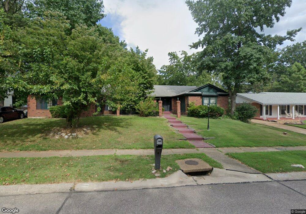
11950 Sheffield Dr Florissant, MO 63033
Estimated Value: $263,275 - $297,000
4
Beds
3
Baths
2,538
Sq Ft
$108/Sq Ft
Est. Value
About This Home
This home is located at 11950 Sheffield Dr, Florissant, MO 63033 and is currently estimated at $275,319, approximately $108 per square foot. 11950 Sheffield Dr is a home located in St. Louis County with nearby schools including Townsend Elementary School, Central Middle School, and Hazelwood Central High School.
Ownership History
Date
Name
Owned For
Owner Type
Purchase Details
Closed on
Dec 8, 2003
Sold by
Lee John William and Moore Lee Paulette J
Bought by
Soluade Tywanna
Current Estimated Value
Home Financials for this Owner
Home Financials are based on the most recent Mortgage that was taken out on this home.
Original Mortgage
$116,000
Outstanding Balance
$64,189
Interest Rate
8.75%
Mortgage Type
Purchase Money Mortgage
Estimated Equity
$211,130
Create a Home Valuation Report for This Property
The Home Valuation Report is an in-depth analysis detailing your home's value as well as a comparison with similar homes in the area
Home Values in the Area
Average Home Value in this Area
Purchase History
| Date | Buyer | Sale Price | Title Company |
|---|---|---|---|
| Soluade Tywanna | $145,000 | Phoenix Title |
Source: Public Records
Mortgage History
| Date | Status | Borrower | Loan Amount |
|---|---|---|---|
| Open | Soluade Tywanna | $116,000 | |
| Closed | Soluade Tywanna | $21,750 |
Source: Public Records
Tax History Compared to Growth
Tax History
| Year | Tax Paid | Tax Assessment Tax Assessment Total Assessment is a certain percentage of the fair market value that is determined by local assessors to be the total taxable value of land and additions on the property. | Land | Improvement |
|---|---|---|---|---|
| 2025 | $3,616 | $45,560 | $4,410 | $41,150 |
| 2024 | $3,616 | $40,090 | $3,060 | $37,030 |
| 2023 | $3,604 | $40,090 | $3,060 | $37,030 |
| 2022 | $3,330 | $32,950 | $7,640 | $25,310 |
| 2021 | $3,151 | $32,950 | $7,640 | $25,310 |
| 2020 | $3,019 | $29,410 | $5,740 | $23,670 |
| 2019 | $2,996 | $29,410 | $5,740 | $23,670 |
| 2018 | $3,423 | $31,110 | $3,840 | $27,270 |
| 2017 | $3,419 | $31,110 | $3,840 | $27,270 |
| 2016 | $3,005 | $26,870 | $3,060 | $23,810 |
| 2015 | $2,936 | $26,870 | $3,060 | $23,810 |
| 2014 | $2,589 | $23,560 | $4,030 | $19,530 |
Source: Public Records
Map
Nearby Homes
- 6250 Pennyrich Ct
- 12136 La Padera Ln
- 11760 Sheffield Dr
- 12320 Missile Ln
- 12095 El Camara Dr
- 12065 El Camara Dr
- 6530 Farm Pond Ct
- 6480 Hadden Bay Dr
- 11757 Vizcuya Ct
- 11774 El Somo Ct
- 6320 Hadden Bay Dr
- 11440 Sheffield Dr
- 6587 Dolphin Cir E Unit 110B
- 12292 Jerries Ln
- 6595 Dolphin Cir E Unit 131A
- 12455 Jerries Ln
- 11951 Jerries Ln
- 12225 Tarpon Dr
- 6470 White Cap Ln Unit D
- 5432 Trailbend Dr
- 11930 Sheffield Dr
- 11960 Sheffield Dr
- 6550 Parker Rd
- 11920 Sheffield Dr
- 11970 Sheffield Dr
- 6695 Hyde Park Dr
- 11900 Sheffield Dr
- 6675 Coventry Dr
- 11990 Sheffield Dr
- 6685 Hyde Park Dr
- 4 North Ct
- 6620 Parker Rd
- 6655 Coventry Dr
- 11890 Sheffield Dr
- 3 North Ct
- 6690 Hyde Park Dr
- 12019 Mignon Dr
- 6665 Hyde Park Dr
- 6625 Coventry Dr
- 6645 Hyde Park Dr