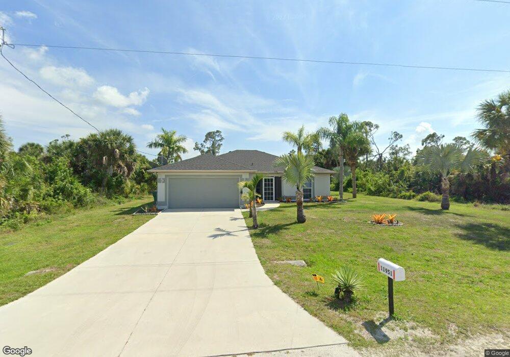
11951 Foresman Blvd Port Charlotte, FL 33981
Englewood East NeighborhoodEstimated Value: $284,000 - $337,000
3
Beds
2
Baths
1,276
Sq Ft
$237/Sq Ft
Est. Value
About This Home
This home is located at 11951 Foresman Blvd, Port Charlotte, FL 33981 and is currently estimated at $302,717, approximately $237 per square foot. 11951 Foresman Blvd is a home located in Charlotte County with nearby schools including Englewood Elementary School, L.A. Ainger Middle School, and Lemon Bay High School.
Ownership History
Date
Name
Owned For
Owner Type
Purchase Details
Closed on
Mar 5, 2019
Sold by
Tirnanic Dragisa and Tirnanic Stanka
Bought by
The Dragisa Tirnanci & Stanka Tirnanic R
Current Estimated Value
Purchase Details
Closed on
Jul 17, 2000
Sold by
Tirnanic Dragisa and Barjaktarevic Radisa
Bought by
Tirnanic Dragisa and Tirnanic Stanka
Home Financials for this Owner
Home Financials are based on the most recent Mortgage that was taken out on this home.
Original Mortgage
$63,000
Outstanding Balance
$22,655
Interest Rate
8.3%
Estimated Equity
$280,062
Create a Home Valuation Report for This Property
The Home Valuation Report is an in-depth analysis detailing your home's value as well as a comparison with similar homes in the area
Home Values in the Area
Average Home Value in this Area
Purchase History
| Date | Buyer | Sale Price | Title Company |
|---|---|---|---|
| The Dragisa Tirnanci & Stanka Tirnanic R | -- | Attorney | |
| Tirnanic Dragisa | -- | -- |
Source: Public Records
Mortgage History
| Date | Status | Borrower | Loan Amount |
|---|---|---|---|
| Open | Tirnanic Dragisa | $63,000 |
Source: Public Records
Tax History Compared to Growth
Tax History
| Year | Tax Paid | Tax Assessment Tax Assessment Total Assessment is a certain percentage of the fair market value that is determined by local assessors to be the total taxable value of land and additions on the property. | Land | Improvement |
|---|---|---|---|---|
| 2023 | $4,380 | $205,013 | $0 | $0 |
| 2022 | $3,719 | $213,147 | $20,400 | $192,747 |
| 2021 | $3,371 | $171,652 | $10,625 | $161,027 |
| 2020 | $3,305 | $167,803 | $12,750 | $155,053 |
| 2019 | $3,133 | $159,578 | $12,750 | $146,828 |
| 2018 | $2,850 | $158,509 | $11,900 | $146,609 |
| 2017 | $2,706 | $151,938 | $11,050 | $140,888 |
| 2016 | $2,586 | $123,697 | $0 | $0 |
| 2015 | $2,318 | $112,452 | $0 | $0 |
| 2014 | $2,161 | $102,229 | $0 | $0 |
Source: Public Records
Map
Nearby Homes
- 11911 Foresman Blvd
- 11903 Foresman Blvd
- 12577 Willmington Blvd
- 11481 Willmington Blvd
- 5489 Callaway St
- 5472 Jennings Blvd
- 12039 Dubarry Ave
- 12051 Foresman Blvd
- 12057 Du Barry Ave
- 11902 van Loon Ave
- 11877 van Loon Ave
- 11966 van Loon Ave
- 12169 van Loon Ave
- 12063 Xavier Ave
- 6138 Tedder St
- 11885 van Loon Ave
- 11748 Willmington Blvd
- 5409 Callaway St
- 11338 Willmington Blvd
- 6169 Le Harve St
- 11943 Foresman Blvd
- 11959 Foresman Blvd
- 11935 Foresman Blvd
- 11967 Foresman Blvd
- 11952 Xavier Ave
- 11960 Xavier Ave
- 11927 Foresman Blvd
- 11968 Xavier Ave
- 11975 Foresman Blvd
- 11936 Xavier Ave
- 11919 Foresman Blvd
- 11928 Xavier Ave
- 11984 Xavier Ave
- 11953 Xavier Ave
- 11961 Xavier Ave
- 11969 Xavier Ave
- 11920 Xavier Ave
- 11994 Xavier Ave
- 11977 Xavier Ave
- 11912 Xavier Ave