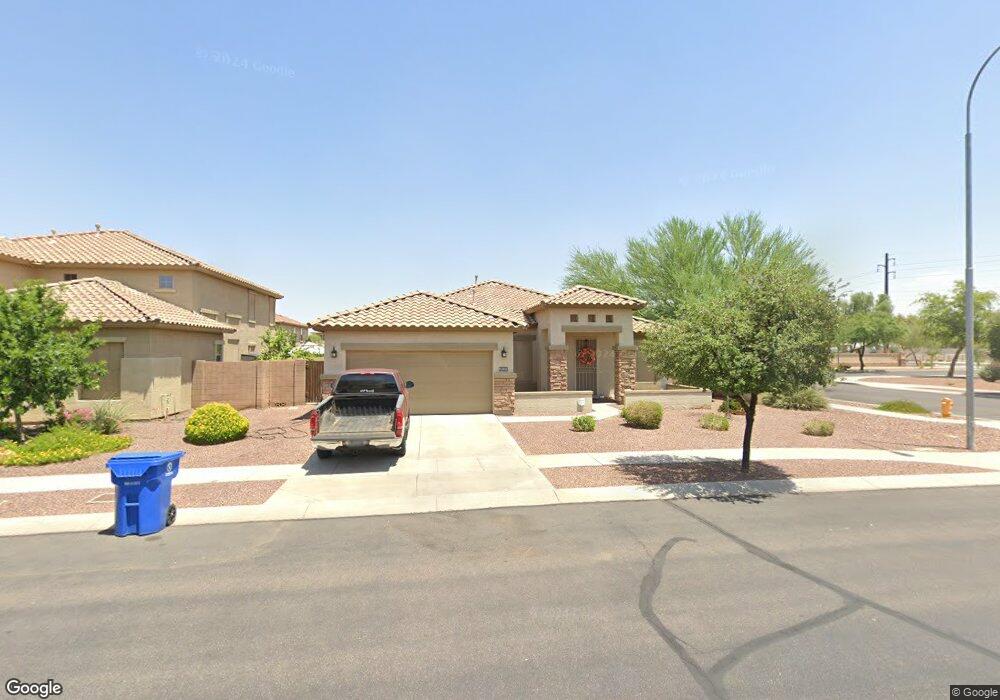
11952 W Baker Ave Avondale, AZ 85392
Crystal Gardens NeighborhoodEstimated Value: $406,254 - $466,000
--
Bed
3
Baths
2,169
Sq Ft
$204/Sq Ft
Est. Value
About This Home
This home is located at 11952 W Baker Ave, Avondale, AZ 85392 and is currently estimated at $442,814, approximately $204 per square foot. 11952 W Baker Ave is a home located in Maricopa County with nearby schools including Rancho Santa Fe Elementary School, Wigwam Creek Middle School, and Agua Fria High School.
Ownership History
Date
Name
Owned For
Owner Type
Purchase Details
Closed on
Jun 29, 2006
Sold by
First American Title Insurance Co
Bought by
Blidar Julia C
Current Estimated Value
Home Financials for this Owner
Home Financials are based on the most recent Mortgage that was taken out on this home.
Original Mortgage
$255,200
Outstanding Balance
$150,836
Interest Rate
6.57%
Mortgage Type
New Conventional
Estimated Equity
$291,978
Create a Home Valuation Report for This Property
The Home Valuation Report is an in-depth analysis detailing your home's value as well as a comparison with similar homes in the area
Home Values in the Area
Average Home Value in this Area
Purchase History
| Date | Buyer | Sale Price | Title Company |
|---|---|---|---|
| Blidar Julia C | $283,573 | First American Title Ins Co |
Source: Public Records
Mortgage History
| Date | Status | Borrower | Loan Amount |
|---|---|---|---|
| Open | Blidar Julia C | $255,200 |
Source: Public Records
Tax History Compared to Growth
Tax History
| Year | Tax Paid | Tax Assessment Tax Assessment Total Assessment is a certain percentage of the fair market value that is determined by local assessors to be the total taxable value of land and additions on the property. | Land | Improvement |
|---|---|---|---|---|
| 2025 | $1,734 | $19,152 | -- | -- |
| 2024 | $1,611 | $18,240 | -- | -- |
| 2023 | $1,611 | $31,580 | $6,310 | $25,270 |
| 2022 | $1,565 | $24,020 | $4,800 | $19,220 |
| 2021 | $1,636 | $22,460 | $4,490 | $17,970 |
| 2020 | $1,583 | $21,400 | $4,280 | $17,120 |
| 2019 | $1,563 | $19,020 | $3,800 | $15,220 |
| 2018 | $1,540 | $17,920 | $3,580 | $14,340 |
| 2017 | $1,429 | $16,180 | $3,230 | $12,950 |
| 2016 | $1,386 | $14,930 | $2,980 | $11,950 |
| 2015 | $1,302 | $13,960 | $2,790 | $11,170 |
Source: Public Records
Map
Nearby Homes
- 11614 W Palm Ln
- 11962 W Berkeley Rd
- 2702 N 115th Dr
- 2117 N 123rd Dr
- 2615 N 123rd Dr
- 2140 N 124th Dr
- 12425 W Encanto Blvd
- 2338 N 112th Ln
- 11552 W Sage Dr
- 11210 W Alvarado Rd
- 11413 W Sage Ct
- 11532 W Clover Way
- 11216 W Roanoke Ave
- 2024 N 125th Ave
- 12547 W Edgemont Ave
- 11206 W Granada Rd
- 11204 W Roanoke Ave
- 0 N Avondale Blvd Unit 6700602
- 10001 W Verde Ln
- 11530 W Palm Brook Dr
- 11956 W Baker Ave
- 11951 W Sheridan St
- 11960 W Baker Ave
- 11955 W Sheridan St
- 2441 N 119th Dr
- 2437 N 119th Dr
- 11959 W Sheridan St
- 12002 W Baker Ave
- 11959 W Baker Ave
- 2505 N 119th Dr
- 2433 N 119th Dr
- 12001 W Baker Ave
- 12001 W Sheridan St
- 2509 N 119th Dr
- 12006 W Baker Ave
- 2429 N 119th Dr
- 11952 W Lewis Ave
- 11952 W Sheridan St
- 11956 W Sheridan St
- 11956 W Lewis Ave