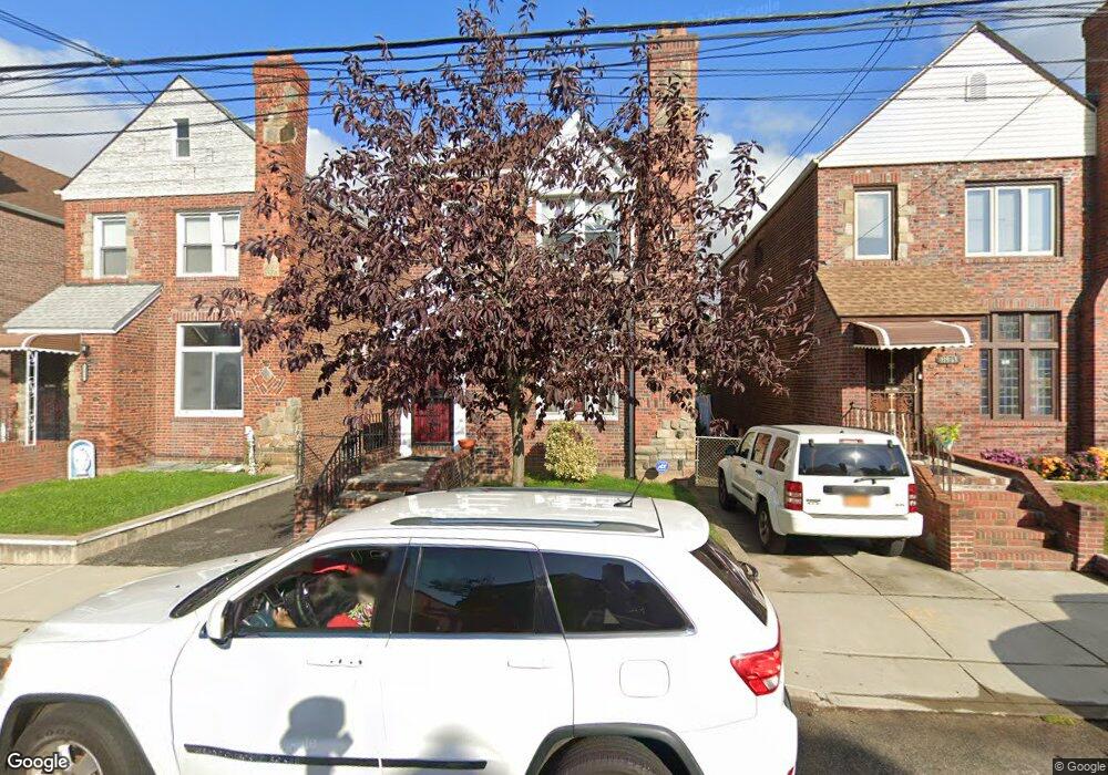
11961 178th St Jamaica, NY 11434
Saint Albans NeighborhoodEstimated Value: $601,967 - $782,000
--
Bed
--
Bath
1,480
Sq Ft
$472/Sq Ft
Est. Value
About This Home
This home is located at 11961 178th St, Jamaica, NY 11434 and is currently estimated at $698,742, approximately $472 per square foot. 11961 178th St is a home located in Queens County with nearby schools including Ps 36 St Albans School, Is 59 Springfield Gardens, and Rochdale Early Advantage Charter School.
Ownership History
Date
Name
Owned For
Owner Type
Purchase Details
Closed on
Jun 27, 2013
Sold by
Guy Harold J and Guy-Pannell Marlene
Bought by
Guy Family Trust
Current Estimated Value
Purchase Details
Closed on
Dec 18, 1996
Sold by
Guy Rita
Bought by
Guy Harold James and Pannell Marlene Guy
Create a Home Valuation Report for This Property
The Home Valuation Report is an in-depth analysis detailing your home's value as well as a comparison with similar homes in the area
Home Values in the Area
Average Home Value in this Area
Purchase History
| Date | Buyer | Sale Price | Title Company |
|---|---|---|---|
| Guy Family Trust | -- | -- | |
| Guy Family Trust | -- | -- | |
| Guy Harold James | -- | Commonwealth Land Title Ins | |
| Guy Harold James | -- | Commonwealth Land Title Ins |
Source: Public Records
Tax History Compared to Growth
Tax History
| Year | Tax Paid | Tax Assessment Tax Assessment Total Assessment is a certain percentage of the fair market value that is determined by local assessors to be the total taxable value of land and additions on the property. | Land | Improvement |
|---|---|---|---|---|
| 2025 | $3,979 | $32,117 | $9,967 | $22,150 |
| 2024 | $3,991 | $30,299 | $9,851 | $20,448 |
| 2023 | $3,738 | $28,584 | $8,955 | $19,629 |
| 2022 | $3,707 | $37,500 | $11,880 | $25,620 |
| 2021 | $3,883 | $36,660 | $11,880 | $24,780 |
| 2020 | $3,669 | $34,740 | $11,880 | $22,860 |
| 2019 | $4,387 | $29,760 | $11,880 | $17,880 |
| 2018 | $3,971 | $23,820 | $11,880 | $11,940 |
| 2017 | $5,122 | $25,128 | $11,517 | $13,611 |
| 2016 | $1,670 | $25,128 | $11,517 | $13,611 |
| 2015 | $944 | $23,100 | $13,200 | $9,900 |
| 2014 | $944 | $22,196 | $12,238 | $9,958 |
Source: Public Records
Map
Nearby Homes
- 119-48 178th St
- 119-72 178th St
- 11984 178th Place
- 179-01 120th Ave
- 119-60 177th St
- 11819 179th St
- 176-43 120th Ave
- 176-27 Sunbury Rd
- 17715 Troutville Rd
- 17710 Troutville Rd
- 12126 Irwin Place
- 17955 Anderson Rd
- 17918 Selover Rd
- 17720 Leslie Rd
- 186-02 Foch Blvd
- 174-41 125th Ave
- 179-47 Zoller Rd
- 18822 119th Ave
- 119-73 Merrill St
- 178-20 Selover Rd
- 11957 178th St
- 11963 178th St
- 11957 178th St
- 11955 178th St
- 11967 178th St
- 11951 178th St
- 11971 178th St
- 11972 178th Place
- 119-57 178 St
- 119-57 178th St
- 11974 178th Place
- 11968 178th Place
- 11978 178th Place
- 11949 178th St
- 11973 178th St
- 11966 178th Place
- 11980 178th Place
- 119-64 178th St
- 119-60 178th St
- 11945 178th St