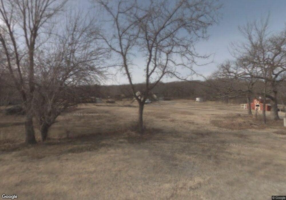
11964 S 36th West Ave Sapulpa, OK 74066
Estimated Value: $356,000 - $647,000
3
Beds
2
Baths
2,998
Sq Ft
$167/Sq Ft
Est. Value
About This Home
This home is located at 11964 S 36th West Ave, Sapulpa, OK 74066 and is currently estimated at $501,500, approximately $167 per square foot. 11964 S 36th West Ave is a home located in Creek County with nearby schools including Sapulpa Middle School, Sapulpa Junior High School, and Sapulpa High School.
Ownership History
Date
Name
Owned For
Owner Type
Purchase Details
Closed on
Dec 20, 2024
Sold by
Jack E Wachob Revocable Trust and Wachob Derek E
Bought by
Mccullough Development Llc
Current Estimated Value
Purchase Details
Closed on
Mar 29, 2011
Sold by
Taylor Larry and Taylor Tina
Bought by
Wachob Jack
Purchase Details
Closed on
Jun 4, 2010
Sold by
Taylor Detra and Taylor Keith
Bought by
Taylor Larry and Taylor Tina
Create a Home Valuation Report for This Property
The Home Valuation Report is an in-depth analysis detailing your home's value as well as a comparison with similar homes in the area
Home Values in the Area
Average Home Value in this Area
Purchase History
| Date | Buyer | Sale Price | Title Company |
|---|---|---|---|
| Mccullough Development Llc | -- | None Listed On Document | |
| Mccullough Development Llc | -- | None Listed On Document | |
| Wachob Jack | $200,000 | -- | |
| Taylor Larry | -- | -- |
Source: Public Records
Tax History Compared to Growth
Tax History
| Year | Tax Paid | Tax Assessment Tax Assessment Total Assessment is a certain percentage of the fair market value that is determined by local assessors to be the total taxable value of land and additions on the property. | Land | Improvement |
|---|---|---|---|---|
| 2025 | $4,686 | $43,453 | $17,183 | $26,270 |
| 2024 | $4,686 | $44,851 | $17,183 | $27,668 |
| 2023 | $4,686 | $42,716 | $17,183 | $25,533 |
| 2022 | $4,083 | $41,018 | $17,183 | $23,835 |
| 2021 | $4,564 | $44,849 | $17,183 | $27,666 |
| 2020 | $4,778 | $46,421 | $17,183 | $29,238 |
| 2019 | $4,639 | $44,211 | $17,183 | $27,028 |
| 2018 | $4,491 | $42,106 | $17,183 | $24,923 |
| 2017 | $4,502 | $42,106 | $17,183 | $24,923 |
| 2016 | $4,192 | $42,106 | $17,183 | $24,923 |
| 2015 | -- | $42,106 | $17,183 | $24,923 |
| 2014 | -- | $42,000 | $17,186 | $24,814 |
Source: Public Records
Map
Nearby Homes
- 0 Lakeside Dr
- 11602 S 30th West Ave
- 4367 Lakeside Dr
- 421 Summercrest Ct
- 461 Cross Timbers Blvd
- 605 Cross Timbers Blvd
- 609 Cross Timbers Blvd
- 00 W 126th St S
- 12933 S 33rd West Ave
- 590 Creekside Dr
- 10910 S Olmsted St
- 540 Creekside Dr
- 11608 S Union Ave
- 10732 S 33rd West Ave
- 3710 W 110th St S
- 11163 S 55th West Ave
- 0 33rd West Ave
- 2957 W 114th Place S
- 626 Countrywood Way
- 527 Pioneer Rd
- 11900 S 36th West Ave
- 12001 S 36th West Ave
- 3505 Lakeside Dr
- 12012 S 36th West Ave
- 3620 Lakeside Dr
- 12007 S 36th West Ave
- 3636 Hillside Dr
- 10835 S 36th Ave W
- 3515 Lakeside Dr
- 11861 S 36th West Ave
- 3702 Hillside Dr
- 3628 Lakeside Dr
- 3745 Lakeside Dr
- 3718 Hillside Dr
- 531 Royal Oak Ln
- 3771 Lakeside Dr
- 507 Royal Oak Dr
- 3806 Hillside Dr
- 519 Royal Oak Ln
- 3759 W Highway 117
