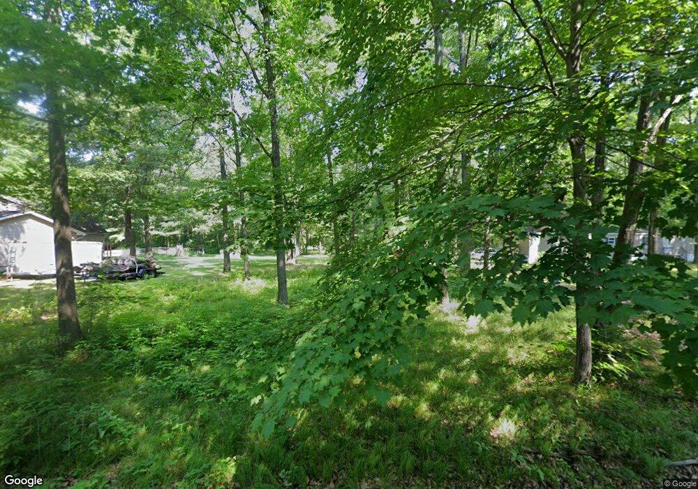
11965 183rd Ave Big Rapids, MI 49307
Estimated Value: $117,000 - $187,000
2
Beds
2
Baths
1,280
Sq Ft
$121/Sq Ft
Est. Value
About This Home
This home is located at 11965 183rd Ave, Big Rapids, MI 49307 and is currently estimated at $154,488, approximately $120 per square foot. 11965 183rd Ave is a home located in Mecosta County with nearby schools including Morley Stanwood Elementary School, Morley Stanwood Middle School, and Morley Stanwood High School.
Ownership History
Date
Name
Owned For
Owner Type
Purchase Details
Closed on
Dec 18, 2015
Sold by
Bruder Joan M and The Bruder Family Trust
Bought by
Veersma William C and Veersma Laura A
Current Estimated Value
Home Financials for this Owner
Home Financials are based on the most recent Mortgage that was taken out on this home.
Original Mortgage
$21,600
Outstanding Balance
$17,133
Interest Rate
3.96%
Mortgage Type
Future Advance Clause Open End Mortgage
Estimated Equity
$137,355
Purchase Details
Closed on
Oct 20, 2015
Sold by
Hartline Timmy L and Hartline Melissa L
Bought by
Bruder Joan M and The Bruder Family Trust
Home Financials for this Owner
Home Financials are based on the most recent Mortgage that was taken out on this home.
Original Mortgage
$21,600
Outstanding Balance
$17,133
Interest Rate
3.96%
Mortgage Type
Future Advance Clause Open End Mortgage
Estimated Equity
$137,355
Create a Home Valuation Report for This Property
The Home Valuation Report is an in-depth analysis detailing your home's value as well as a comparison with similar homes in the area
Purchase History
| Date | Buyer | Sale Price | Title Company |
|---|---|---|---|
| Veersma William C | -- | Attorney | |
| Bruder Joan M | -- | Best Homes |
Source: Public Records
Mortgage History
| Date | Status | Borrower | Loan Amount |
|---|---|---|---|
| Open | Veersma William C | $21,600 |
Source: Public Records
Tax History
| Year | Tax Paid | Tax Assessment Tax Assessment Total Assessment is a certain percentage of the fair market value that is determined by local assessors to be the total taxable value of land and additions on the property. | Land | Improvement |
|---|---|---|---|---|
| 2025 | $619 | $34,400 | $0 | $0 |
| 2024 | -- | $26,200 | $0 | $0 |
| 2023 | -- | $28,100 | $0 | $0 |
| 2022 | $0 | $26,300 | $0 | $0 |
Source: Public Records
Map
Nearby Homes
- 12260 183rd Ave
- 11505 Riverside Dr
- 11621 Riverside Dr
- 18685 Kreig Dr
- 18359 12 Mile Rd
- 18415 12 Mile Rd
- 19070 Joslin Cir
- 11103 Birchpark Dr
- 11137 192nd Ave
- 13692 Northland Dr
- 10765 Northland Dr
- 11285 Northland Dr
- 0 V L 40 Acres 160th Ave Unit 25059904
- 17190 Apollo Dr
- 14080 Heritage Dr
- 19400 14 Mile Rd
- 17430 Valley Dr
- 17220 Valley Dr
- 00 Saux Ln
- 14670 Tomahawk Ln Unit 39
- 11962 183rd Ave
- 11964 183rd Ave
- 11964 183rd Ave Unit A-B
- 11950 183rd Ave
- 11935 183rd Ave
- 11946 183rd Ave
- 11970 183rd Ave
- 11974 183rd Ave
- 11938 183rd Ave
- 11980 183rd Ave
- 11986 183rd Ave
- 11930 183rd Ave
- 12120 183rd Ave
- 12170 183rd Ave
- 12180 183rd Ave
- 12200 183rd Ave
- 12178 183rd Ave
- 12160 183rd Ave
- 11936 183rd Ave
- 11936 183rd Ave
