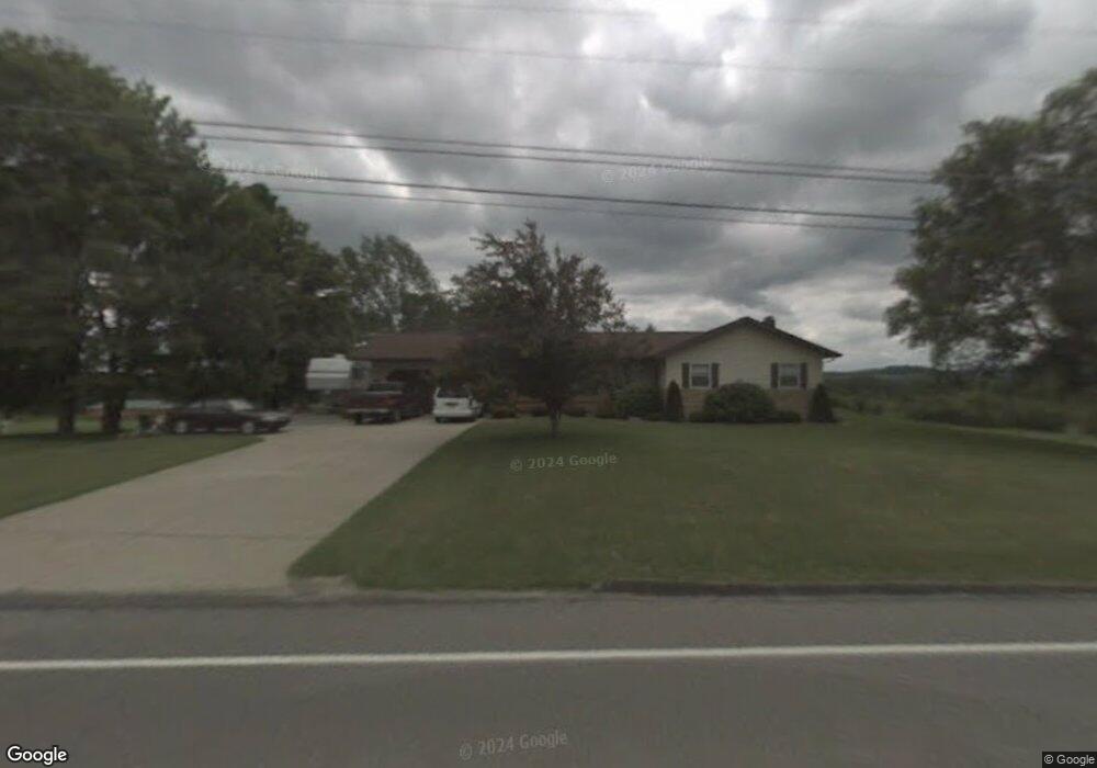
11968 Route 28 Brockway, PA 15824
Estimated Value: $167,000 - $260,054
--
Bed
--
Bath
720
Sq Ft
$284/Sq Ft
Est. Value
About This Home
This home is located at 11968 Route 28, Brockway, PA 15824 and is currently estimated at $204,264, approximately $283 per square foot. 11968 Route 28 is a home located in Jefferson County with nearby schools including Brockway Area Elementary School, Brockway Area Junior/Senior High School, and EAGLES NEST AMISH SCHOOL.
Ownership History
Date
Name
Owned For
Owner Type
Purchase Details
Closed on
Sep 28, 2006
Sold by
Byler David J and Byler Sarah C
Bought by
Bayler David R and Byler Dena D
Current Estimated Value
Home Financials for this Owner
Home Financials are based on the most recent Mortgage that was taken out on this home.
Original Mortgage
$60,000
Outstanding Balance
$37,569
Interest Rate
7.37%
Mortgage Type
Adjustable Rate Mortgage/ARM
Estimated Equity
$166,695
Create a Home Valuation Report for This Property
The Home Valuation Report is an in-depth analysis detailing your home's value as well as a comparison with similar homes in the area
Home Values in the Area
Average Home Value in this Area
Purchase History
| Date | Buyer | Sale Price | Title Company |
|---|---|---|---|
| Bayler David R | $75,000 | None Available |
Source: Public Records
Mortgage History
| Date | Status | Borrower | Loan Amount |
|---|---|---|---|
| Open | Bayler David R | $60,000 |
Source: Public Records
Tax History Compared to Growth
Tax History
| Year | Tax Paid | Tax Assessment Tax Assessment Total Assessment is a certain percentage of the fair market value that is determined by local assessors to be the total taxable value of land and additions on the property. | Land | Improvement |
|---|---|---|---|---|
| 2025 | $3,555 | $91,680 | $12,900 | $78,780 |
| 2024 | $4,168 | $91,680 | $12,900 | $78,780 |
| 2023 | $3,464 | $91,680 | $12,900 | $78,780 |
| 2022 | $3,464 | $91,680 | $12,900 | $78,780 |
| 2021 | $3,107 | $82,240 | $12,900 | $69,340 |
| 2020 | $3,107 | $82,240 | $12,900 | $69,340 |
| 2019 | $2,972 | $82,240 | $12,900 | $69,340 |
| 2018 | $2,895 | $82,240 | $12,900 | $69,340 |
| 2017 | $2,850 | $82,240 | $12,900 | $69,340 |
| 2016 | $2,595 | $82,240 | $12,900 | $69,340 |
| 2015 | -- | $82,240 | $12,900 | $69,340 |
| 2012 | -- | $82,240 | $12,900 | $69,340 |
Source: Public Records
Map
Nearby Homes
- 0 Coal Glen Rd
- 19 Salandra Ln
- 5546 Stevenson Hill Rd
- 725 Russel Rd
- 1074 10th Ave
- 10217 Pennsylvania 28
- 970 Baghdad Rd
- 0 U S 219
- 1549 Main St
- 924 Elm St
- 00 Pennsylvania 830
- 3539 Stevenson Hill Rd
- 7956 U S 219
- 3243 Stevenson Hill Rd
- 559 Buskirk Rd
- 1144 Shaffer Rd
- 23682 Pennsylvania 949
- 1032 Beechtree Rd
- 425 Zuccolotto Ln
- 1083 Rattlesnake Rd
- 11993 Route 28
- 11921 Route 28
- 11938 Route 28
- 11875 Route 28
- 12021 Route 28
- 11777 Route 28
- 11945 Route 28
- 11764 Route 28
- 11874 Route 28
- 12224 Route 28
- 1980 Sugar Hill Rd
- 11746 Route 28
- 11737 Route 28
- 1950 Sugar Hill Rd
- 12254 Route 28
- 1971 Sugar Hill Rd
- 11712 Route 28
- 1894 Sugar Hill Rd
- 12176 Route 28
- 54 Longwell Rd