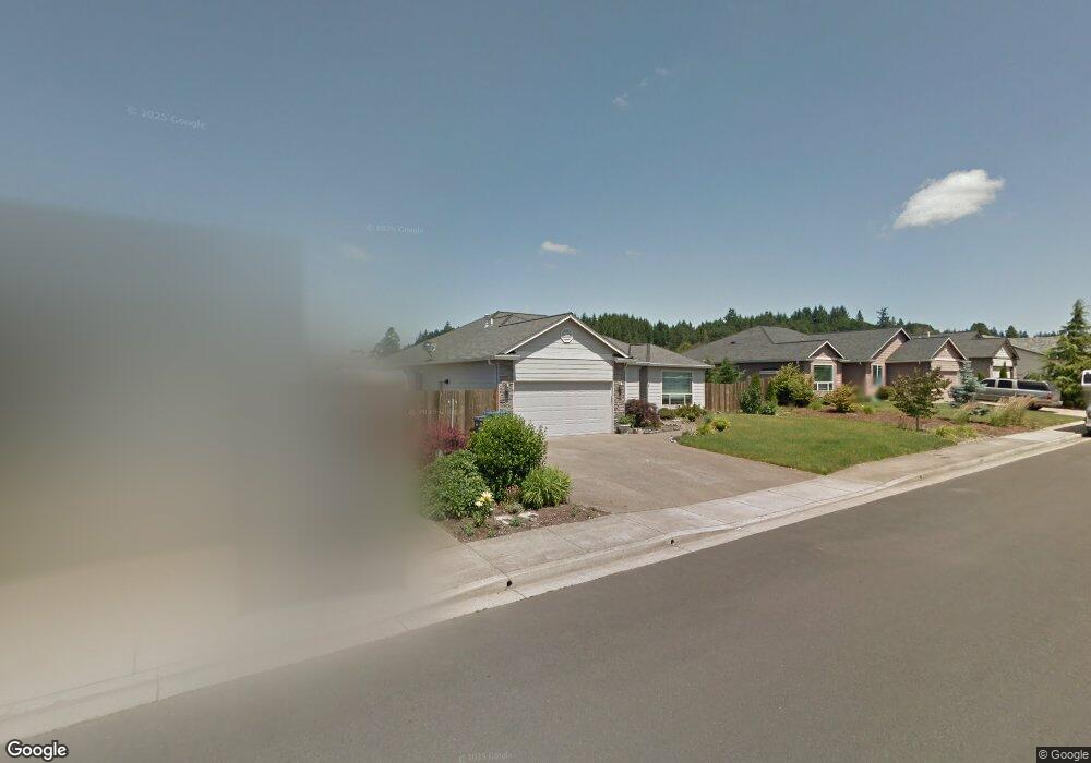
1197 Hazel St Jefferson, OR 97352
Estimated Value: $462,000 - $482,000
3
Beds
2
Baths
1,877
Sq Ft
$250/Sq Ft
Est. Value
About This Home
This home is located at 1197 Hazel St, Jefferson, OR 97352 and is currently estimated at $469,773, approximately $250 per square foot. 1197 Hazel St is a home located in Marion County with nearby schools including Jefferson Elementary School, Jefferson Middle School, and Jefferson High School.
Ownership History
Date
Name
Owned For
Owner Type
Purchase Details
Closed on
Sep 20, 2006
Sold by
Mike Lydon Enterprises Inc
Bought by
Daniel Karin M
Current Estimated Value
Home Financials for this Owner
Home Financials are based on the most recent Mortgage that was taken out on this home.
Original Mortgage
$181,440
Outstanding Balance
$74,007
Interest Rate
1.25%
Mortgage Type
Purchase Money Mortgage
Estimated Equity
$395,766
Create a Home Valuation Report for This Property
The Home Valuation Report is an in-depth analysis detailing your home's value as well as a comparison with similar homes in the area
Home Values in the Area
Average Home Value in this Area
Purchase History
| Date | Buyer | Sale Price | Title Company |
|---|---|---|---|
| Daniel Karin M | $226,800 | First American |
Source: Public Records
Mortgage History
| Date | Status | Borrower | Loan Amount |
|---|---|---|---|
| Open | Daniel Karin M | $181,440 |
Source: Public Records
Tax History Compared to Growth
Tax History
| Year | Tax Paid | Tax Assessment Tax Assessment Total Assessment is a certain percentage of the fair market value that is determined by local assessors to be the total taxable value of land and additions on the property. | Land | Improvement |
|---|---|---|---|---|
| 2025 | $3,277 | $223,700 | -- | -- |
| 2024 | $3,277 | $217,190 | -- | -- |
| 2023 | $3,090 | $210,870 | $0 | $0 |
| 2022 | $2,910 | $204,730 | $0 | $0 |
| 2021 | $2,821 | $198,770 | $0 | $0 |
| 2020 | $2,740 | $192,990 | $0 | $0 |
| 2019 | $2,674 | $187,370 | $0 | $0 |
| 2018 | $2,632 | $0 | $0 | $0 |
| 2017 | $2,548 | $0 | $0 | $0 |
| 2016 | $2,227 | $0 | $0 | $0 |
| 2015 | $2,165 | $0 | $0 | $0 |
| 2014 | $2,076 | $0 | $0 | $0 |
Source: Public Records
Map
Nearby Homes
- 587 Union St
- 758 S Sunrise Dr
- 372 Pamela Ct
- LOT Union St
- 0 Lot Union St
- 271 N 3rd St
- 205 N 3rd St
- 329 Church St
- 430 Oakdale Ct
- 414 N 2nd St
- 145 S Main St
- 184 Greenwood Dr
- 773 S Grice Loop
- Lot 200 Bates St
- 554 S Main St
- 0 Harris Ln SE
- 3574 Jefferson Marion Rd SE
- 1894 Talbot Rd SE
- 34388 Grenz Ln NE
- 39036 Scravel Hill Rd NE