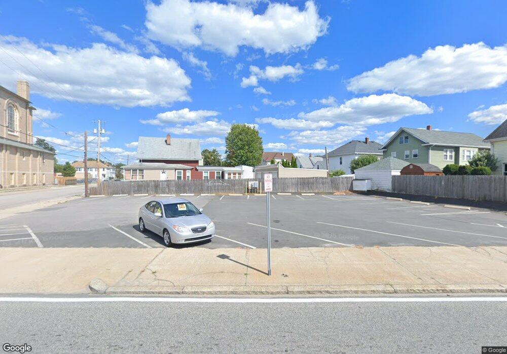
1197 Newport Ave Pawtucket, RI 02861
Darlington NeighborhoodEstimated Value: $267,317
--
Bed
--
Bath
352
Sq Ft
$759/Sq Ft
Est. Value
About This Home
This home is located at 1197 Newport Ave, Pawtucket, RI 02861 and is currently estimated at $267,317, approximately $759 per square foot. 1197 Newport Ave is a home located in Providence County with nearby schools including St Cecilia School and Saint Teresa Catholic Elementary School.
Ownership History
Date
Name
Owned For
Owner Type
Purchase Details
Closed on
Sep 8, 2022
Sold by
E Coast Com Ral Est Llc
Bought by
Martins Realty Llc
Current Estimated Value
Purchase Details
Closed on
Dec 11, 2015
Sold by
Power Test Realty Co L
Bought by
East Coast Commercial
Home Financials for this Owner
Home Financials are based on the most recent Mortgage that was taken out on this home.
Original Mortgage
$30,600
Interest Rate
3.77%
Mortgage Type
Commercial
Create a Home Valuation Report for This Property
The Home Valuation Report is an in-depth analysis detailing your home's value as well as a comparison with similar homes in the area
Home Values in the Area
Average Home Value in this Area
Purchase History
| Date | Buyer | Sale Price | Title Company |
|---|---|---|---|
| Martins Realty Llc | $200,000 | None Available | |
| Martins Realty Llc | $200,000 | None Available | |
| East Coast Commercial | $40,000 | -- |
Source: Public Records
Mortgage History
| Date | Status | Borrower | Loan Amount |
|---|---|---|---|
| Previous Owner | East Coast Commercial | $30,600 |
Source: Public Records
Tax History Compared to Growth
Tax History
| Year | Tax Paid | Tax Assessment Tax Assessment Total Assessment is a certain percentage of the fair market value that is determined by local assessors to be the total taxable value of land and additions on the property. | Land | Improvement |
|---|---|---|---|---|
| 2025 | $4,740 | $206,000 | $192,600 | $13,400 |
| 2024 | $4,450 | $206,000 | $192,600 | $13,400 |
| 2023 | $3,107 | $104,800 | $100,200 | $4,600 |
| 2022 | $3,041 | $104,800 | $100,200 | $4,600 |
| 2021 | $3,041 | $104,800 | $100,200 | $4,600 |
| 2020 | $3,650 | $105,900 | $100,200 | $5,700 |
| 2019 | $3,650 | $105,900 | $100,200 | $5,700 |
| 2018 | $3,517 | $105,900 | $100,200 | $5,700 |
| 2017 | $11,929 | $342,000 | $242,600 | $99,400 |
| 2016 | $11,495 | $342,000 | $242,600 | $99,400 |
| 2015 | $11,495 | $342,000 | $242,600 | $99,400 |
| 2014 | $11,373 | $368,300 | $263,600 | $104,700 |
Source: Public Records
Map
Nearby Homes
- 1167 Newport Ave
- 126 Suffolk Ave
- 304 Hughes Ave
- 342 Grand Ave
- 140 Robinson Ave
- 41 Calder St
- 118 Chaplin St
- 31 Norris Ave
- 133 Hanover Ave
- 180 Darlingdale Ave
- 83 Chaplin St
- 0 Chaplin St
- 358 Orient Ave
- 113 Oakland Ave
- 139 Tweed St
- 580 Central Ave
- 574 Central Ave
- 68 Slade St
- 39 Chaplin St
- 228 London Ave
- 67 Norfolk Ave
- 1193 Newport Ave
- 86 Suffolk Ave
- 90 Suffolk Ave
- 101 Norfolk Ave
- 1191 Newport Ave
- 1202 Newport Ave
- 98 Suffolk Ave
- 1184 Newport Ave
- 55 Norfolk Ave
- 1196 Newport Ave
- 104 Suffolk Ave
- 58 Suffolk Ave
- 1173 Newport Ave
- 111 Norfolk Ave
- 79 Suffolk Ave
- 1175 Newport Ave
- 112 Suffolk Ave
- 110 Suffolk Ave
- 110 Suffolk Ave Unit 2