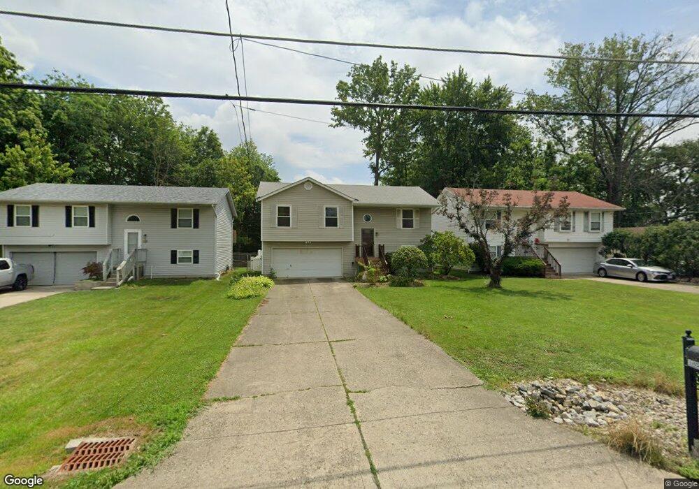
11974 7th Ave Cincinnati, OH 45249
Highpoint NeighborhoodEstimated Value: $185,000 - $751,000
3
Beds
2
Baths
--
Sq Ft
741
Sq Ft Lot
About This Home
This home is located at 11974 7th Ave, Cincinnati, OH 45249 and is currently estimated at $478,667. 11974 7th Ave is a home located in Hamilton County with nearby schools including Stewart Elementary School, Princeton Community Middle School, and Princeton High School.
Ownership History
Date
Name
Owned For
Owner Type
Purchase Details
Closed on
Aug 17, 2001
Sold by
Gibbons Joshua E and Gibbons Lisa M
Bought by
Miller Darrell C
Current Estimated Value
Home Financials for this Owner
Home Financials are based on the most recent Mortgage that was taken out on this home.
Original Mortgage
$85,000
Interest Rate
7.03%
Purchase Details
Closed on
Aug 16, 2001
Sold by
Cromer Sherman D and Cromer Carol D
Bought by
Gibbons Joshua E and Gibbons Lisa M
Home Financials for this Owner
Home Financials are based on the most recent Mortgage that was taken out on this home.
Original Mortgage
$85,000
Interest Rate
7.03%
Create a Home Valuation Report for This Property
The Home Valuation Report is an in-depth analysis detailing your home's value as well as a comparison with similar homes in the area
Home Values in the Area
Average Home Value in this Area
Purchase History
| Date | Buyer | Sale Price | Title Company |
|---|---|---|---|
| Miller Darrell C | $113,000 | Title First Agency Inc | |
| Gibbons Joshua E | -- | Title First Agency Inc |
Source: Public Records
Mortgage History
| Date | Status | Borrower | Loan Amount |
|---|---|---|---|
| Previous Owner | Miller Darrell C | $85,000 |
Source: Public Records
Tax History Compared to Growth
Tax History
| Year | Tax Paid | Tax Assessment Tax Assessment Total Assessment is a certain percentage of the fair market value that is determined by local assessors to be the total taxable value of land and additions on the property. | Land | Improvement |
|---|---|---|---|---|
| 2024 | $15 | $315 | $315 | -- |
| 2023 | $15 | $315 | $315 | $0 |
| 2022 | $21 | $361 | $361 | $0 |
| 2021 | $21 | $361 | $361 | $0 |
| 2020 | $20 | $361 | $361 | $0 |
| 2019 | $20 | $315 | $315 | $0 |
| 2018 | $19 | $315 | $315 | $0 |
| 2017 | $18 | $315 | $315 | $0 |
| 2016 | $18 | $322 | $322 | $0 |
| 2015 | $18 | $322 | $322 | $0 |
| 2014 | $18 | $322 | $322 | $0 |
| 2013 | $18 | $315 | $315 | $0 |
Source: Public Records
Map
Nearby Homes
- 11863 Whittington Ln
- 12105 4th Ave
- 12121 3rd Ave
- 12152 3rd Ave
- 9729 Old Stable Ct
- 9731 Montclaire Dr
- 9669 Old Stable Ct
- 11934 Snider Rd
- 9609 Cedar Knoll Dr
- 6712 Hummingbird Dr
- 8372 Heritage Dr
- 7199 Fieldstone Ct
- 12102 Paulmeadows Dr
- 9787 Snider Rd
- 9743 Snider Rd
- 6520 Lewis Clark Trail
- 6424 Camp Superior Dr
- 5857 Fawn Run Dr
- 8366 Jeanette Ln
- 11403 Avant Ln
- 11968 7th Ave
- 11978 7th Ave
- 11962 7th Ave
- 11938 Stillwind Dr
- 11984 7th Ave
- 11941 Stillwind Dr
- 11954 7th Ave
- 11973 7th Ave
- 11942 Stillwind Dr
- 11992 7th Ave
- 11981 7th Ave
- 11950 7th Ave
- 11961 7th Ave
- 11987 7th Ave
- 11945 Stillwind Dr
- 11993 7th Ave
- 11951 7th Ave
- 12000 7th Ave
- 7945 Fawncreek Dr
- 11948 Stillwind Dr