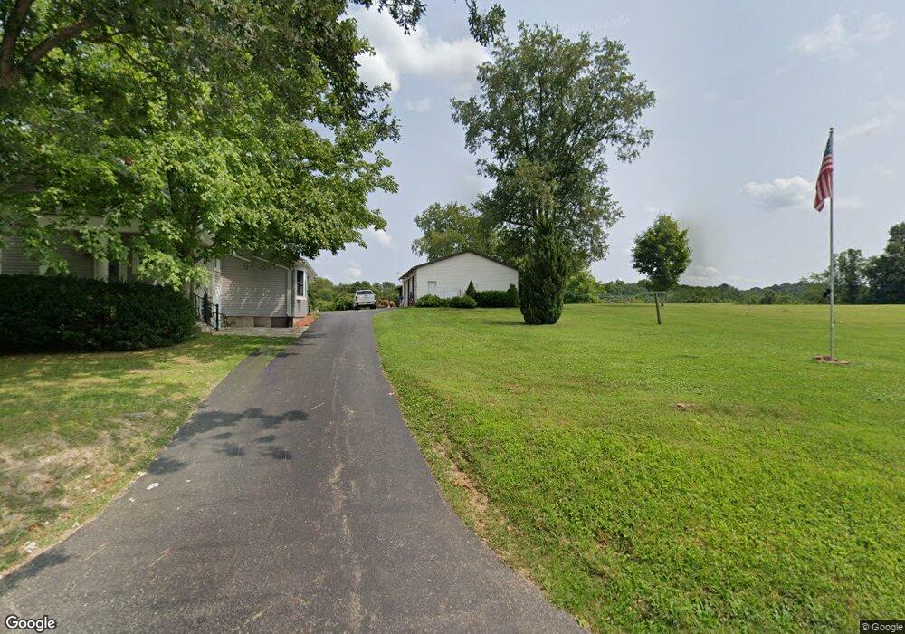
11977 State Route 78 Glouster, OH 45732
Estimated Value: $186,000 - $234,000
3
Beds
2
Baths
1,818
Sq Ft
$115/Sq Ft
Est. Value
About This Home
This home is located at 11977 State Route 78, Glouster, OH 45732 and is currently estimated at $209,942, approximately $115 per square foot. 11977 State Route 78 is a home located in Athens County with nearby schools including Trimble Elementary School, Trimble Middle School, and Trimble High School.
Ownership History
Date
Name
Owned For
Owner Type
Purchase Details
Closed on
Nov 16, 2022
Sold by
Shamhart Marvin E
Bought by
Shamhart Family Trust
Current Estimated Value
Purchase Details
Closed on
May 28, 2019
Sold by
Shanhart Marvin E and Shanhart Betsy Jane
Bought by
Shamhart Scott M and Shamhart Stacey K
Purchase Details
Closed on
Sep 14, 2017
Sold by
Shamhart Marvin E
Bought by
Cain Lloyd W and Cain Taylor M
Purchase Details
Closed on
Dec 16, 1994
Sold by
Shamhart Marvin E and Shamhart Shiela
Bought by
Shamhart Marvin E
Create a Home Valuation Report for This Property
The Home Valuation Report is an in-depth analysis detailing your home's value as well as a comparison with similar homes in the area
Home Values in the Area
Average Home Value in this Area
Purchase History
| Date | Buyer | Sale Price | Title Company |
|---|---|---|---|
| Shamhart Family Trust | -- | -- | |
| Shamhart Scott M | -- | None Available | |
| Cain Lloyd W | -- | None Available | |
| Shamhart Marvin E | -- | -- |
Source: Public Records
Tax History Compared to Growth
Tax History
| Year | Tax Paid | Tax Assessment Tax Assessment Total Assessment is a certain percentage of the fair market value that is determined by local assessors to be the total taxable value of land and additions on the property. | Land | Improvement |
|---|---|---|---|---|
| 2024 | $2,886 | $45,030 | $6,470 | $38,560 |
| 2023 | $1,467 | $45,030 | $6,470 | $38,560 |
| 2022 | $1,228 | $37,560 | $5,390 | $32,170 |
| 2021 | $1,257 | $37,560 | $5,390 | $32,170 |
| 2020 | $1,258 | $37,560 | $5,390 | $32,170 |
| 2019 | $1,191 | $35,990 | $6,230 | $29,760 |
| 2018 | $1,314 | $35,990 | $6,230 | $29,760 |
| 2017 | $2,436 | $36,540 | $6,780 | $29,760 |
| 2016 | $1,269 | $35,140 | $6,160 | $28,980 |
| 2015 | $2,323 | $35,140 | $6,160 | $28,980 |
| 2014 | $2,323 | $35,140 | $6,160 | $28,980 |
| 2013 | $1,927 | $33,300 | $5,180 | $28,120 |
Source: Public Records
Map
Nearby Homes
- 11789 Congress Run Rd
- 11829 Red Rock Rd
- 0 Red Rock Rd
- Lambert Rd
- 93 Main St
- 10219 Paulette Dr
- 88 Front St
- 0 Loudermilk Rd
- 23 Madison St
- 29 Barbour St
- 140 Sycamore St
- 145 Sycamore St
- 33 S High St
- 31 Locust St
- 10271 Antle Orchard Rd
- 19500 Lake Dr
- 18261 Jacksonville Rd
- 18242 Ohio 13
- 0 Greens Run Rd
- 8445 Pigsah Church Ln
- 6725 Tunnel Rd
- 6882 Tunnel Rd
- 6888 Tunnel Rd
- 11360 Red Fox Rd
- 6892 Tunnel Rd
- 6770 Hartley Ln
- 6560 S State Route 78
- 11835 Congress Run Rd
- 11988 Ohio 78
- 7001 Tunnel Rd
- 11760 State Route 78
- 11205 Red Fox Rd
- 11801 Congress Run Rd
- 6590 S State Route 78
- 12000 State Route 78 Rd
- 11200 Red Fox Rd
- 11992 Ohio 78
- 11181 Red Fox Rd
- 6603 S State Route 78
- 7025 Tunnel Rd