1198 Coast Guard Rd Block Island, RI 02807
Estimated Value: $2,397,000 - $3,818,000
5
Beds
4
Baths
3,158
Sq Ft
$938/Sq Ft
Est. Value
About This Home
This home is located at 1198 Coast Guard Rd, Block Island, RI 02807 and is currently estimated at $2,962,699, approximately $938 per square foot. 1198 Coast Guard Rd is a home with nearby schools including Block Island School.
Ownership History
Date
Name
Owned For
Owner Type
Purchase Details
Closed on
Feb 1, 1983
Bought by
Sitbon Larry J and Sitbon Christine A
Current Estimated Value
Create a Home Valuation Report for This Property
The Home Valuation Report is an in-depth analysis detailing your home's value as well as a comparison with similar homes in the area
Home Values in the Area
Average Home Value in this Area
Purchase History
| Date | Buyer | Sale Price | Title Company |
|---|---|---|---|
| Sitbon Larry J | -- | -- |
Source: Public Records
Mortgage History
| Date | Status | Borrower | Loan Amount |
|---|---|---|---|
| Open | Sitbon Larry J | $1,000,000 | |
| Open | Sitbon Larry J | $1,750,000 |
Source: Public Records
Tax History Compared to Growth
Tax History
| Year | Tax Paid | Tax Assessment Tax Assessment Total Assessment is a certain percentage of the fair market value that is determined by local assessors to be the total taxable value of land and additions on the property. | Land | Improvement |
|---|---|---|---|---|
| 2024 | $11,495 | $2,082,500 | $1,130,400 | $952,100 |
| 2023 | $12,537 | $2,082,500 | $1,130,400 | $952,100 |
| 2022 | $10,458 | $1,477,120 | $1,055,680 | $421,440 |
| 2021 | $9,813 | $1,464,640 | $1,055,680 | $408,960 |
| 2020 | $9,238 | $1,452,560 | $1,055,680 | $396,880 |
| 2019 | $8,948 | $1,452,560 | $1,055,680 | $396,880 |
| 2018 | $8,618 | $1,448,400 | $1,055,680 | $392,720 |
| 2017 | $8,488 | $1,448,400 | $1,055,680 | $392,720 |
| 2016 | $8,285 | $1,448,400 | $1,055,680 | $392,720 |
| 2015 | $10,046 | $1,823,200 | $1,319,600 | $503,600 |
| 2014 | $9,770 | $1,829,600 | $1,319,600 | $510,000 |
| 2013 | $9,532 | $1,829,600 | $1,319,600 | $510,000 |
Source: Public Records
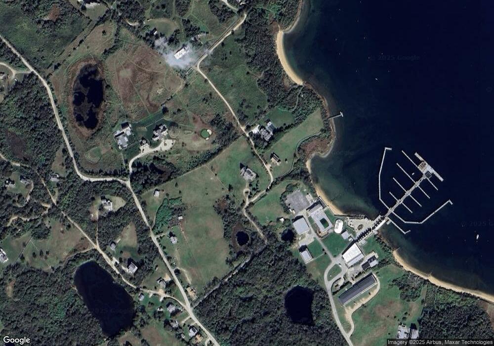
Map
Nearby Homes
- 0 Coast Guard Rd
- 1210 Graces Cove Rd
- 1501 Beacon Hill Rd
- 1557 W Side Rd
- 1743 Corn Neck Rd
- 1713 Corn Neck Rd
- 1720 Corn Neck Rd
- 481 Old Town Rd
- 1596 W Side Rd
- 721 Corn Neck Rd
- 256 High St
- 1078 W Beach Rd
- 1087 Lakeside Dr
- 1289 High St
- 194 Pilot Hill Rd
- 1661 Sand Pond Rd
- 1328 Cooneymus Rd
- 0 Pilot Hill Rd
- 1448 Mohegan Trail
- 0 Snake Hole Rd
- 1049 Coast Guard Rd
- 1199 Coast Guard Rd
- 1135 Coast Guard Rd
- 1943 Coast Guard Rd
- 1917 Coast Guard Rd
- 912 Coast Guard Rd
- 913 Coast Guard Rd
- 1523 Coast Guard Rd
- 1067 Coast Guard Rd
- 919 Coast Guard Rd
- 924 Champlin Rd
- 907 Coast Guard Rd
- 905 Coast Guard Rd
- 931 Coast Guard Rd
- 926 Coast Guard Rd
- 906 Coast Guard Rd
- 925 Coast Guard Rd
- 911 Coast Guard Rd
- 924 Coast Guard Rd
- 915 Coast Guard Rd