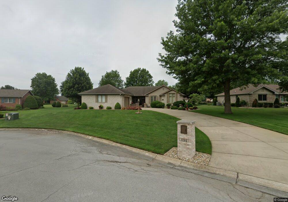
1198 S Butternut Dr La Porte, IN 46350
Estimated Value: $290,000 - $446,000
3
Beds
2
Baths
1,920
Sq Ft
$190/Sq Ft
Est. Value
About This Home
This home is located at 1198 S Butternut Dr, La Porte, IN 46350 and is currently estimated at $364,656, approximately $189 per square foot. 1198 S Butternut Dr is a home located in LaPorte County with nearby schools including La Porte High School, Riley Elementary School, and Kesling Intermediate School.
Ownership History
Date
Name
Owned For
Owner Type
Purchase Details
Closed on
Jan 14, 2008
Sold by
Rollins Richard W and Rollins Sedalia A
Bought by
Luegers Douglas M and Luegers Mary Anne
Current Estimated Value
Home Financials for this Owner
Home Financials are based on the most recent Mortgage that was taken out on this home.
Original Mortgage
$60,000
Outstanding Balance
$11,167
Interest Rate
5.95%
Mortgage Type
Unknown
Estimated Equity
$353,489
Create a Home Valuation Report for This Property
The Home Valuation Report is an in-depth analysis detailing your home's value as well as a comparison with similar homes in the area
Home Values in the Area
Average Home Value in this Area
Purchase History
| Date | Buyer | Sale Price | Title Company |
|---|---|---|---|
| Luegers Douglas M | -- | Meridian Title Corp |
Source: Public Records
Mortgage History
| Date | Status | Borrower | Loan Amount |
|---|---|---|---|
| Open | Luegers Douglas M | $60,000 |
Source: Public Records
Tax History Compared to Growth
Tax History
| Year | Tax Paid | Tax Assessment Tax Assessment Total Assessment is a certain percentage of the fair market value that is determined by local assessors to be the total taxable value of land and additions on the property. | Land | Improvement |
|---|---|---|---|---|
| 2024 | $3,065 | $308,300 | $29,400 | $278,900 |
| 2023 | $2,986 | $298,600 | $29,400 | $269,200 |
| 2022 | $2,791 | $279,100 | $29,400 | $249,700 |
| 2021 | $2,462 | $246,200 | $29,400 | $216,800 |
| 2020 | $2,389 | $246,200 | $29,400 | $216,800 |
| 2019 | $2,291 | $224,300 | $29,400 | $194,900 |
| 2018 | $2,291 | $224,300 | $29,400 | $194,900 |
| 2017 | $2,079 | $209,100 | $23,100 | $186,000 |
| 2016 | $1,978 | $209,700 | $26,300 | $183,400 |
| 2014 | $1,670 | $189,800 | $26,300 | $163,500 |
Source: Public Records
Map
Nearby Homes
- 1009 S Redbud Dr
- 2261 W Joliet Rd
- 2183 W Oak St
- 2425 W 18th St
- 54 Victoria Cir
- 52 Victoria Cir
- 2241 W Saint Road 2
- 694 S Maple Leaf Ln
- 2006 K St
- 1105 W 18th St
- 101 Miller St
- 1527 5th St
- 826 Kingsporte Ave
- 502 Circle Dr
- V/l State Road 39
- N SR State Road 39
- 306 Willow Bend Dr
- 714 W 10th St
- 0 State Road 39
- 607 J St
- 1196 S Butternut Ct
- 1347 S Redbud Dr
- 1187 S Butternut Dr
- 1195 S Butternut Dr
- 1325 S Redbud Dr
- 1205 S Butternut Dr
- 1192 S Butternut Ct
- 1305 S Redbud Dr
- 1188 S Butternut Dr
- 1182 S Butternut Dr
- 1391 S Redbud Dr
- 1338 S Redbud Dr
- 1175 S Butternut Dr
- 2434 W Butternut Dr
- 1147 S Butternut Dr
- 1262 S Marquette St
- 1322 S Marquette St
- 1261 S Redbud Dr
- 2464 W Butternut Dr
- 1292 S Redbud Dr