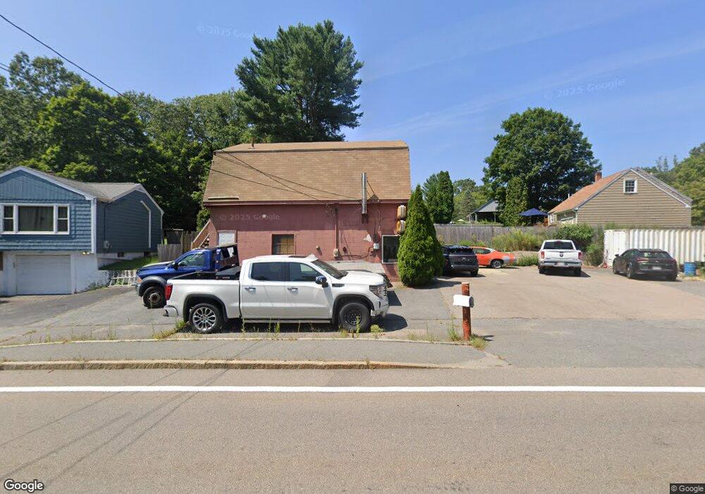
1198 West St Wrentham, MA 02093
Sheldonville NeighborhoodEstimated Value: $574,234
--
Bed
--
Bath
1,780
Sq Ft
$323/Sq Ft
Est. Value
About This Home
This home is located at 1198 West St, Wrentham, MA 02093 and is currently estimated at $574,234, approximately $322 per square foot. 1198 West St is a home located in Norfolk County with nearby schools including Delaney Elementary School, Charles E Roderick, and Mercymount Country Day School.
Ownership History
Date
Name
Owned For
Owner Type
Purchase Details
Closed on
Aug 22, 2025
Sold by
Morrocco Richard A
Bought by
Economou George
Current Estimated Value
Home Financials for this Owner
Home Financials are based on the most recent Mortgage that was taken out on this home.
Original Mortgage
$250,000
Outstanding Balance
$249,347
Interest Rate
6.72%
Mortgage Type
Purchase Money Mortgage
Estimated Equity
$324,887
Purchase Details
Closed on
Sep 29, 2010
Sold by
Ronhock Dale F
Bought by
Morrocco Richard A
Purchase Details
Closed on
Feb 7, 2008
Sold by
Morrocco Richard A and Morrocco Robert A
Bought by
Ronhock Dale F
Purchase Details
Closed on
Jul 3, 2007
Sold by
Morrocco Richard A
Bought by
Ronhock Dale F
Home Financials for this Owner
Home Financials are based on the most recent Mortgage that was taken out on this home.
Original Mortgage
$195,000
Interest Rate
6.24%
Mortgage Type
Commercial
Purchase Details
Closed on
Dec 7, 1994
Sold by
Crawford Ft
Bought by
Morrocco Richard A and Morrocco Robert E
Create a Home Valuation Report for This Property
The Home Valuation Report is an in-depth analysis detailing your home's value as well as a comparison with similar homes in the area
Home Values in the Area
Average Home Value in this Area
Purchase History
| Date | Buyer | Sale Price | Title Company |
|---|---|---|---|
| Economou George | $275,000 | -- | |
| Morrocco Richard A | $250,000 | -- | |
| Morrocco Richard A | $250,000 | -- | |
| Morrocco Richard A | $250,000 | -- | |
| Ronhock Dale F | -- | -- | |
| Ronhock Dale F | -- | -- | |
| Ronhock Dale F | -- | -- | |
| Ronhock Dale F | $250,000 | -- | |
| Morrocco Richard A | -- | -- | |
| Morrocco Richard A | -- | -- | |
| Ronhock Dale F | $250,000 | -- | |
| Morrocco Richard A | -- | -- | |
| Morrocco Richard A | $118,000 | -- | |
| Morrocco Richard A | $118,000 | -- |
Source: Public Records
Mortgage History
| Date | Status | Borrower | Loan Amount |
|---|---|---|---|
| Open | Economou George | $250,000 | |
| Previous Owner | Morrocco Richard A | $195,000 | |
| Previous Owner | Morrocco Richard A | $0 |
Source: Public Records
Tax History Compared to Growth
Tax History
| Year | Tax Paid | Tax Assessment Tax Assessment Total Assessment is a certain percentage of the fair market value that is determined by local assessors to be the total taxable value of land and additions on the property. | Land | Improvement |
|---|---|---|---|---|
| 2025 | $3,667 | $316,400 | $100,800 | $215,600 |
| 2024 | -- | $316,400 | $100,800 | $215,600 |
| 2023 | $0 | $316,400 | $100,800 | $215,600 |
| 2022 | $0 | $260,100 | $100,800 | $159,300 |
| 2021 | $0 | $260,100 | $100,800 | $159,300 |
| 2020 | $4,428 | $244,700 | $94,500 | $150,200 |
| 2019 | $0 | $250,500 | $94,500 | $156,000 |
| 2018 | $0 | $252,900 | $120,300 | $132,600 |
| 2017 | $0 | $245,600 | $118,000 | $127,600 |
| 2016 | -- | $242,400 | $115,600 | $126,800 |
| 2015 | -- | $233,900 | $112,200 | $121,700 |
| 2014 | -- | $230,900 | $110,000 | $120,900 |
Source: Public Records
Map
Nearby Homes