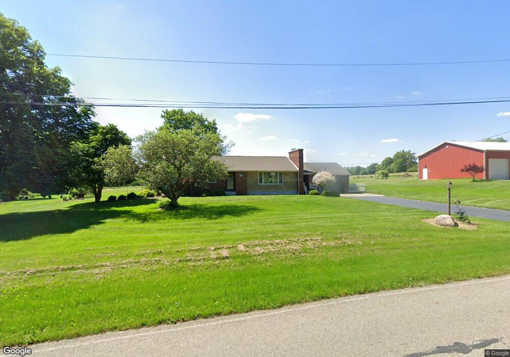
11982 Locust Dr New Middletown, OH 44442
Estimated Value: $281,000 - $369,000
3
Beds
2
Baths
1,892
Sq Ft
$176/Sq Ft
Est. Value
About This Home
This home is located at 11982 Locust Dr, New Middletown, OH 44442 and is currently estimated at $333,725, approximately $176 per square foot. 11982 Locust Dr is a home located in Mahoning County with nearby schools including Springfield Elementary School, Springfield Intermediate Middle School, and Springfield High School.
Ownership History
Date
Name
Owned For
Owner Type
Purchase Details
Closed on
May 17, 1999
Sold by
Savaet John E and Savaet John
Bought by
Savaet Stanley J
Current Estimated Value
Create a Home Valuation Report for This Property
The Home Valuation Report is an in-depth analysis detailing your home's value as well as a comparison with similar homes in the area
Home Values in the Area
Average Home Value in this Area
Purchase History
| Date | Buyer | Sale Price | Title Company |
|---|---|---|---|
| Savaet Stanley J | $117,500 | -- |
Source: Public Records
Mortgage History
| Date | Status | Borrower | Loan Amount |
|---|---|---|---|
| Closed | Savaet Stanley J | $0 |
Source: Public Records
Tax History Compared to Growth
Tax History
| Year | Tax Paid | Tax Assessment Tax Assessment Total Assessment is a certain percentage of the fair market value that is determined by local assessors to be the total taxable value of land and additions on the property. | Land | Improvement |
|---|---|---|---|---|
| 2024 | $3,745 | $92,280 | $18,440 | $73,840 |
| 2023 | $3,682 | $92,280 | $18,440 | $73,840 |
| 2022 | $3,354 | $75,410 | $18,440 | $56,970 |
| 2021 | $3,379 | $75,410 | $18,440 | $56,970 |
| 2020 | $3,398 | $75,410 | $18,440 | $56,970 |
| 2019 | $3,196 | $68,410 | $18,440 | $49,970 |
| 2018 | $3,100 | $64,070 | $18,440 | $45,630 |
| 2017 | $2,950 | $64,070 | $18,440 | $45,630 |
| 2016 | $2,718 | $58,290 | $17,420 | $40,870 |
| 2015 | $2,645 | $58,290 | $17,420 | $40,870 |
| 2014 | $2,657 | $58,290 | $17,420 | $40,870 |
| 2013 | $2,270 | $50,190 | $17,420 | $32,770 |
Source: Public Records
Map
Nearby Homes
- 6338 E South Range Rd
- 5589 Middletown Rd E
- 5272 Middletown Rd E
- 10901 Main St
- 0 Youngstown - Pittsburgh Rd Unit 5110475
- 42 Sycamore Dr
- 2 Sandy Dr
- 0 Meadowbrook Dr Unit 5110501
- 13131 Unity Rd
- 170 Sandy Ct Unit 11
- 11.61 acres Stateline Rd
- 0 Sandy Ct Unit 5110511
- 10105 Carrie Ct
- 10115 Carrie Ct
- 5541 E Calla Rd
- 4940 E Calla Rd
- 4035 Shelly Lynn Dr
- 4025 Shelly Lynn Dr
- 9897 Struthers Rd
- 151 Crum Rd
- 0 E South Range Rd
- 5466 Columbiana New Castle Rd
- 5494 Columbiana New Castle Rd
- 5421 Columbiana New Castle Rd
- 5511 Columbiana New Castle Rd
- 5515 Columbiana New Castle Rd
- 12125 Harmon Rd
- 5583 Columbiana Rd
- 11751 Locust Dr
- 5351 Columbiana New Castle Rd
- 11696 Youngstown Pittsburgh Rd
- 5235 Columbiana Rd
- 5199 Columbiana Rd
- 11690 Youngstown Pittsburgh Rd
- 12315 Harmon Rd
- 11675 Locust Dr
- 5709 Columbiana New Castle Rd
- 0 S Range Unit 3098942
- 00 S Range
- 11670 Youngstown Pittsburgh Rd