11983 Laurel Rd Chesterland, OH 44026
Estimated Value: $330,000 - $445,000
4
Beds
3
Baths
1,896
Sq Ft
$201/Sq Ft
Est. Value
About This Home
This home is located at 11983 Laurel Rd, Chesterland, OH 44026 and is currently estimated at $381,157, approximately $201 per square foot. 11983 Laurel Rd is a home located in Geauga County with nearby schools including West Geauga High School and Hawken Upper School.
Ownership History
Date
Name
Owned For
Owner Type
Purchase Details
Closed on
Aug 15, 2002
Sold by
Bank Of New York and Graham Stuart E
Bought by
Grman Marin and Grman Susan
Current Estimated Value
Purchase Details
Closed on
Feb 7, 2002
Sold by
Michael Sramkoski R and Michael Elisabeth L
Bought by
Bank Of New York
Purchase Details
Closed on
May 17, 1993
Bought by
Nohava Charles J
Create a Home Valuation Report for This Property
The Home Valuation Report is an in-depth analysis detailing your home's value as well as a comparison with similar homes in the area
Home Values in the Area
Average Home Value in this Area
Purchase History
| Date | Buyer | Sale Price | Title Company |
|---|---|---|---|
| Grman Marin | $100,000 | Midland Title Security Inc | |
| Bank Of New York | $145,000 | -- | |
| Nohava Charles J | $150,000 | -- |
Source: Public Records
Tax History Compared to Growth
Tax History
| Year | Tax Paid | Tax Assessment Tax Assessment Total Assessment is a certain percentage of the fair market value that is determined by local assessors to be the total taxable value of land and additions on the property. | Land | Improvement |
|---|---|---|---|---|
| 2024 | $4,184 | $96,990 | $18,520 | $78,470 |
| 2023 | $4,184 | $96,990 | $18,520 | $78,470 |
| 2022 | $4,088 | $81,310 | $15,510 | $65,800 |
| 2021 | $4,076 | $81,310 | $15,510 | $65,800 |
| 2020 | $4,236 | $81,310 | $15,510 | $65,800 |
| 2019 | $3,843 | $71,270 | $15,510 | $55,760 |
| 2018 | $3,812 | $71,270 | $15,510 | $55,760 |
| 2017 | $3,843 | $71,270 | $15,510 | $55,760 |
| 2016 | $4,040 | $70,850 | $15,510 | $55,340 |
| 2015 | $3,741 | $70,850 | $15,510 | $55,340 |
| 2014 | $3,741 | $70,850 | $15,510 | $55,340 |
| 2013 | $3,768 | $70,850 | $15,510 | $55,340 |
Source: Public Records
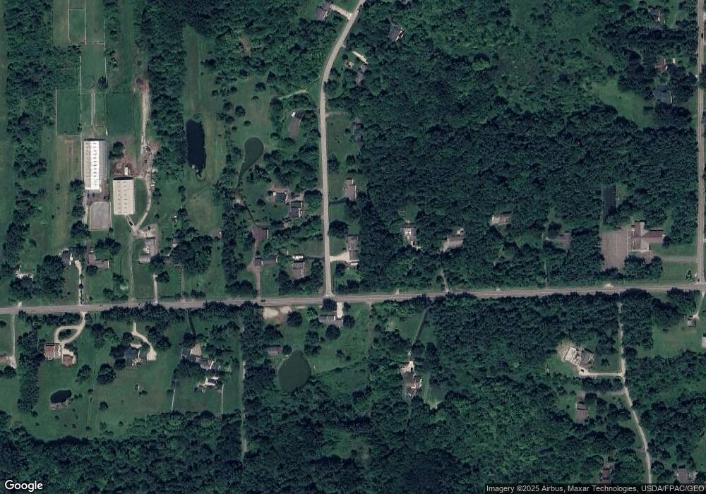
Map
Nearby Homes
- 12120 Caves Rd
- 11925 Caves Rd
- 630 Battles Rd
- 12470 Caves Rd
- 7959 Gates Mills Estates
- 920 Chestnut Run
- 7840 Gates Mills Estate Dr
- 12750 Manchester Dr
- 11240 W Walnut Ridge Rd
- 781 Chagrin River Rd
- 7501 Mayfield Rd
- 12791 Morning Glory Trail
- 8075 Mulberry Rd
- 12845 Morning Glory Trail
- 1364 Echo Glen
- 0 Merrie Ln
- 860 W Hill Dr
- 769 Village Trail
- 7775 Woodlands Trail
- 38050 Rogers Rd
- 11961 Laurel Rd
- 7340 Wilson Mills Rd
- 12010 Laurel Rd
- 11982 Laurel Rd
- 7313 Wilson Mills Rd
- 7276 Wilson Mills Rd
- 11955 Laurel Rd
- 7360 Wilson Mills Rd
- 11960 Laurel Rd
- 7246 Wilson Mills Rd
- 7246 Wilson Mills Rd
- 7333 Wilson Mills Rd
- 7378 Wilson Mills Rd
- 11945 Laurel Rd
- 7234 Wilson Mills Rd
- 7241 Wilson Mills Rd
- 7224 Wilson Mills Rd
- 7404 Wilson Mills Rd
- 11925 Laurel Rd
- 11940 Laurel Rd