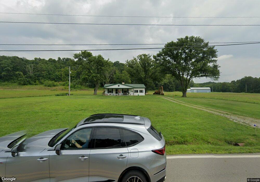
11985 State Route 691 Nelsonville, OH 45764
Estimated Value: $192,000 - $216,000
2
Beds
1
Bath
1,236
Sq Ft
$169/Sq Ft
Est. Value
About This Home
This home is located at 11985 State Route 691, Nelsonville, OH 45764 and is currently estimated at $208,409, approximately $168 per square foot. 11985 State Route 691 is a home located in Athens County with nearby schools including Nelsonville-York Elementary School, Nelsonville-York Junior High School, and Nelsonville-York High School.
Ownership History
Date
Name
Owned For
Owner Type
Purchase Details
Closed on
Jul 17, 2025
Sold by
Jessee J Mckee Jr Revocable Trust and Jesse J Mckee Jr Revocable Trust
Bought by
Peggy A Mckee Revocable Trust and Mckee
Current Estimated Value
Purchase Details
Closed on
Jun 6, 2011
Sold by
Cullison Harold and Estate Of Helen Alton
Bought by
Alton Gary
Home Financials for this Owner
Home Financials are based on the most recent Mortgage that was taken out on this home.
Original Mortgage
$22,000
Interest Rate
4.75%
Mortgage Type
Future Advance Clause Open End Mortgage
Purchase Details
Closed on
Sep 16, 1999
Sold by
Alton Harold L and Alton Helen I
Bought by
Alton Helen I
Create a Home Valuation Report for This Property
The Home Valuation Report is an in-depth analysis detailing your home's value as well as a comparison with similar homes in the area
Home Values in the Area
Average Home Value in this Area
Purchase History
| Date | Buyer | Sale Price | Title Company |
|---|---|---|---|
| Peggy A Mckee Revocable Trust | -- | None Listed On Document | |
| Peggy A Mckee Revocable Trust | -- | None Listed On Document | |
| Alton Gary | $84,000 | None Available | |
| Alton Helen I | -- | -- |
Source: Public Records
Mortgage History
| Date | Status | Borrower | Loan Amount |
|---|---|---|---|
| Previous Owner | Alton Gary | $22,000 |
Source: Public Records
Tax History Compared to Growth
Tax History
| Year | Tax Paid | Tax Assessment Tax Assessment Total Assessment is a certain percentage of the fair market value that is determined by local assessors to be the total taxable value of land and additions on the property. | Land | Improvement |
|---|---|---|---|---|
| 2024 | $2,148 | $51,040 | $26,160 | $24,880 |
| 2023 | $1,409 | $51,040 | $26,160 | $24,880 |
| 2022 | $1,178 | $41,900 | $21,810 | $20,090 |
| 2021 | $1,182 | $41,900 | $21,810 | $20,090 |
| 2020 | $1,152 | $41,900 | $21,810 | $20,090 |
| 2019 | $1,121 | $36,900 | $18,300 | $18,600 |
| 2018 | $1,100 | $36,900 | $18,300 | $18,600 |
| 2017 | $1,563 | $36,850 | $18,300 | $18,550 |
| 2016 | $1,276 | $34,400 | $16,640 | $17,760 |
| 2015 | $1,777 | $32,950 | $16,640 | $16,310 |
| 2014 | $1,777 | $26,930 | $10,620 | $16,310 |
| 2013 | $1,483 | $24,960 | $8,810 | $16,150 |
Source: Public Records
Map
Nearby Homes
- 11685 State Route 691
- 6559 Poston Rd
- 0 Lemaster Rd
- 0 Lemaster Rd Unit 23368524
- 0 Lemaster Rd Unit 11486521
- 5910 Vore Ridge Rd
- 10775 Rosewood Ln
- 0 Salem Rd
- 4624 Rhoric Rd
- 12981 Spice Lick Rd
- 11250 Grass Run Rd
- 11676 Channingway Blvd
- 90 Main St
- 0 Shady Ln
- 27 North St
- 14946 Ohio 691
- 57 Ohio Ave
- 5 Oak St
- 7 W 2nd St
- 10313 Porter Ln
- 11976 State Route 691
- 11980 State Route 691
- 11968 State Route 691
- 11960 State Route 691
- 11945 State Route 691
- 11936 State Route 691
- 11936 State Route 691
- 11933 State Route 691
- 11920 State Route 691
- 11920 State Route 691
- 11919 State Route 691
- 12267 State Route 691
- 11915 State Route 691
- 11908 State Route 691
- 12319 State Route 691
- 11895 State Route 691
- 5270 Poston Rd
- 12274 State Route 691
- 12353 State Route 691
- 4550 Perry Ridge