11986 Alnic Ct Glen Rock, PA 17327
Estimated Value: $416,000 - $435,112
2
Beds
3
Baths
2,033
Sq Ft
$209/Sq Ft
Est. Value
About This Home
This home is located at 11986 Alnic Ct, Glen Rock, PA 17327 and is currently estimated at $425,278, approximately $209 per square foot. 11986 Alnic Ct is a home located in York County with nearby schools including Susquehannock High School.
Ownership History
Date
Name
Owned For
Owner Type
Purchase Details
Closed on
Jul 27, 1998
Sold by
Nelson Craig E and Nelson Joan S
Bought by
Bowen John J and Bowen Terri J
Current Estimated Value
Home Financials for this Owner
Home Financials are based on the most recent Mortgage that was taken out on this home.
Original Mortgage
$128,000
Outstanding Balance
$26,703
Interest Rate
6.92%
Estimated Equity
$398,575
Purchase Details
Closed on
Jul 10, 1986
Bought by
Nelson Craig E and Nelson Joan S
Create a Home Valuation Report for This Property
The Home Valuation Report is an in-depth analysis detailing your home's value as well as a comparison with similar homes in the area
Home Values in the Area
Average Home Value in this Area
Purchase History
| Date | Buyer | Sale Price | Title Company |
|---|---|---|---|
| Bowen John J | $160,000 | First American Title Ins Co | |
| Nelson Craig E | -- | -- |
Source: Public Records
Mortgage History
| Date | Status | Borrower | Loan Amount |
|---|---|---|---|
| Open | Bowen John J | $128,000 |
Source: Public Records
Tax History Compared to Growth
Tax History
| Year | Tax Paid | Tax Assessment Tax Assessment Total Assessment is a certain percentage of the fair market value that is determined by local assessors to be the total taxable value of land and additions on the property. | Land | Improvement |
|---|---|---|---|---|
| 2025 | $6,347 | $229,360 | $77,700 | $151,660 |
| 2024 | $6,166 | $229,360 | $77,700 | $151,660 |
| 2023 | $6,166 | $229,360 | $77,700 | $151,660 |
| 2022 | $6,166 | $229,360 | $77,700 | $151,660 |
| 2021 | $5,923 | $229,360 | $77,700 | $151,660 |
| 2020 | $5,923 | $229,360 | $77,700 | $151,660 |
| 2019 | $5,873 | $229,360 | $77,700 | $151,660 |
| 2018 | $5,765 | $229,360 | $77,700 | $151,660 |
| 2017 | $5,659 | $229,360 | $77,700 | $151,660 |
| 2016 | $0 | $229,360 | $77,700 | $151,660 |
| 2015 | -- | $229,360 | $77,700 | $151,660 |
| 2014 | -- | $229,360 | $77,700 | $151,660 |
Source: Public Records
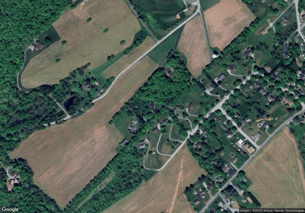
Map
Nearby Homes
- 4092 Manchester St
- 245 Hanover St
- 0 Manchester St
- 2891 Rexwood Dr
- 23 Baltimore St
- 4 Holly Ln
- 122 Hayward Heights
- 0 W Clearview Dr
- 20062 Meadowsweet Ln
- 3446 Brenneman Rd
- 3407 Sticks Rd
- 0 Brenneman Rd Unit PAYK2081226
- 1734 Hametown Rd
- 14602 Pin Oak Ln
- 4013 Back Creek Rd
- 4012 Back Creek Rd
- 4001 Back Creek Rd
- 4009 Back Creek Rd
- 14597 Pin Oak Ln
- 23 Mccullough Dr
- 21 Mccullough Dr
- 25 Mccullough Dr
- 12049 Alnic Ct
- 27 Mccullough Dr
- 19 Mccullough Dr
- 20 Mccullough Dr
- 22 Mccullough Dr
- 15 Mccullough Dr
- 5642 Fair School Rd
- 10 Cardinal Dr
- 8 Cardinal Dr
- 13 Mccullough Dr
- 9 Cardinal Dr
- 6 Cardinal Dr
- 7 Cardinal Dr
- 5 Cardinal Dr
- 11 Mccullough Dr
- 4073 Manchester St Unit 4073
- 4077 Manchester St