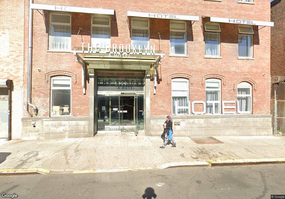
1199-1201 Atlantic Ave Brooklyn, NY 11216
Bed-Stuy NeighborhoodEstimated Value: $7,113,508
--
Bed
--
Bath
19,816
Sq Ft
$359/Sq Ft
Est. Value
About This Home
This home is located at 1199-1201 Atlantic Ave, Brooklyn, NY 11216 and is currently estimated at $7,113,508, approximately $358 per square foot. 1199-1201 Atlantic Ave is a home located in Kings County with nearby schools including P.S. 93 - William H. Prescott, Leadership Preparatory Bedford Stuyvesant Charter School, and The Co-op School.
Ownership History
Date
Name
Owned For
Owner Type
Purchase Details
Closed on
Apr 14, 2021
Sold by
822 Mcdonald Av Llc
Bought by
1199 Investors Llc
Current Estimated Value
Purchase Details
Closed on
Feb 9, 2006
Sold by
Red Hook Management Llc
Bought by
822 Mcdonald Av Llc
Home Financials for this Owner
Home Financials are based on the most recent Mortgage that was taken out on this home.
Original Mortgage
$1,081,633
Interest Rate
6.17%
Mortgage Type
Commercial
Purchase Details
Closed on
Nov 16, 2004
Sold by
1199 Atlantic Avenue Corp
Bought by
Red Hook Management Llc
Home Financials for this Owner
Home Financials are based on the most recent Mortgage that was taken out on this home.
Original Mortgage
$1,200,000
Interest Rate
5.69%
Mortgage Type
Commercial
Create a Home Valuation Report for This Property
The Home Valuation Report is an in-depth analysis detailing your home's value as well as a comparison with similar homes in the area
Home Values in the Area
Average Home Value in this Area
Purchase History
| Date | Buyer | Sale Price | Title Company |
|---|---|---|---|
| 1199 Investors Llc | $6,025,000 | -- | |
| 822 Mcdonald Av Llc | $3,000,000 | -- | |
| Red Hook Management Llc | $1,500,000 | -- |
Source: Public Records
Mortgage History
| Date | Status | Borrower | Loan Amount |
|---|---|---|---|
| Previous Owner | 822 Mcdonald Av Llc | $1,081,633 | |
| Previous Owner | Red Hook Management Llc | $1,200,000 |
Source: Public Records
Tax History Compared to Growth
Tax History
| Year | Tax Paid | Tax Assessment Tax Assessment Total Assessment is a certain percentage of the fair market value that is determined by local assessors to be the total taxable value of land and additions on the property. | Land | Improvement |
|---|---|---|---|---|
| 2025 | $194,135 | $2,154,600 | $178,200 | $1,976,400 |
| 2024 | $194,135 | $2,049,300 | $178,200 | $1,871,100 |
| 2023 | $187,086 | $1,806,300 | $178,200 | $1,628,100 |
| 2022 | $184,733 | $1,717,650 | $178,200 | $1,539,450 |
| 2021 | $173,483 | $1,622,250 | $178,200 | $1,444,050 |
| 2020 | $89,978 | $1,968,750 | $178,200 | $1,790,550 |
| 2019 | $162,189 | $1,671,750 | $156,150 | $1,515,600 |
| 2018 | $156,256 | $1,671,750 | $156,150 | $1,515,600 |
| 2017 | $149,701 | $1,489,950 | $156,150 | $1,333,800 |
| 2016 | $148,751 | $1,489,950 | $156,150 | $1,333,800 |
| 2015 | $23,779 | $513,450 | $55,800 | $457,650 |
| 2014 | $23,779 | $450,450 | $55,800 | $394,650 |
Source: Public Records
Map
Nearby Homes
- 1251 Pacific St Unit 1 A
- 1251 Pacific St Unit 2 A
- 1251 Pacific St Unit 4
- 1251 Pacific St Unit 1
- 1251 Pacific St Unit 2
- 35 Herkimer St
- 18 Arlington Place
- 1150 Pacific St
- 11A Arlington Place
- 1219 Dean St
- 151 Herkimer St
- 1235 Dean St Unit 4
- 43 Halsey St Unit 4
- 43 Halsey St Unit 3
- 1240 Bedford Ave Unit 1H
- 1240 Bedford Ave Unit 5B
- 1240 Bedford Ave Unit 1D
- 1304 Pacific St Unit B1
- 971 Bergen St
- 1106 Bergen St
- 1195-1197 Atlantic Ave
- 1205-1209 Atlantic Ave
- 1193 Atlantic Ave
- 1191 Atlantic Ave
- 1191 Atlantic Ave Unit 2H
- 1191 Atlantic Ave Unit 2C
- 1191 Atlantic Ave Unit 2F
- 1191 Atlantic Ave Unit 2I
- 1191 Atlantic Ave Unit STOREFRONT
- 44 Herkimer Place Unit 46
- 44-46 Herkimer Place
- 1211 Atlantic Ave
- 27-29 Herkimer Place
- 21-25 Herkimer Place
- 1213 Atlantic Ave Unit 1215
- 1213-1215 Atlantic Ave
- 1167 Atlantic Ave
- 17-19 Herkimer Place
- 1260 Atlantic Ave
- 1219 Atlantic Ave