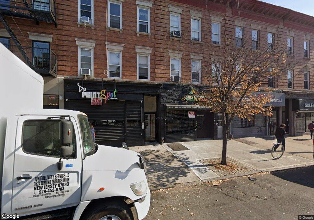
1199 Nostrand Ave Unit Store Front Brooklyn, NY 11225
Prospect Lefferts Gardens NeighborhoodEstimated Value: $848,628
--
Bed
--
Bath
3,500
Sq Ft
$242/Sq Ft
Est. Value
About This Home
This home is located at 1199 Nostrand Ave Unit Store Front, Brooklyn, NY 11225 and is currently estimated at $848,628, approximately $242 per square foot. 1199 Nostrand Ave Unit Store Front is a home located in Kings County with nearby schools including P.S. 397 Foster Laurie, Parkside Preparatory Academy, and Achievement First Voyager Middle School.
Ownership History
Date
Name
Owned For
Owner Type
Purchase Details
Closed on
Jul 22, 2008
Sold by
Mitchell Wayne
Bought by
1199 Nostrand Llc
Current Estimated Value
Purchase Details
Closed on
Apr 1, 2003
Sold by
Thomas Lawrence
Bought by
Mitchell Wayne
Purchase Details
Closed on
Feb 14, 2000
Sold by
Jacinthe Clairscilia
Bought by
Reid Carlton
Home Financials for this Owner
Home Financials are based on the most recent Mortgage that was taken out on this home.
Original Mortgage
$203,700
Interest Rate
8.26%
Mortgage Type
FHA
Create a Home Valuation Report for This Property
The Home Valuation Report is an in-depth analysis detailing your home's value as well as a comparison with similar homes in the area
Home Values in the Area
Average Home Value in this Area
Purchase History
| Date | Buyer | Sale Price | Title Company |
|---|---|---|---|
| 1199 Nostrand Llc | -- | -- | |
| 1199 Nostrand Llc | -- | -- | |
| Mitchell Wayne | -- | -- | |
| Thomas Lawrence | $297,000 | -- | |
| Mitchell Wayne | -- | -- | |
| Thomas Lawrence | $297,000 | -- | |
| Reid Carlton | $190,000 | First American Title Ins Co | |
| Reid Carlton | $190,000 | First American Title Ins Co |
Source: Public Records
Mortgage History
| Date | Status | Borrower | Loan Amount |
|---|---|---|---|
| Previous Owner | Reid Carlton | $203,700 | |
| Closed | Thomas Lawrence | $0 |
Source: Public Records
Tax History Compared to Growth
Tax History
| Year | Tax Paid | Tax Assessment Tax Assessment Total Assessment is a certain percentage of the fair market value that is determined by local assessors to be the total taxable value of land and additions on the property. | Land | Improvement |
|---|---|---|---|---|
| 2025 | $7,311 | $393,300 | $103,500 | $289,800 |
| 2024 | $7,311 | $353,700 | $103,500 | $250,200 |
| 2023 | $6,643 | $327,600 | $103,500 | $224,100 |
| 2022 | $6,625 | $279,900 | $103,500 | $176,400 |
| 2021 | $6,436 | $258,300 | $103,500 | $154,800 |
| 2020 | $2,930 | $283,500 | $103,500 | $180,000 |
| 2019 | $5,674 | $270,540 | $103,500 | $167,040 |
| 2018 | $5,298 | $41,654 | $19,122 | $22,532 |
| 2017 | $5,298 | $41,654 | $20,169 | $21,485 |
| 2016 | $5,203 | $40,361 | $23,150 | $17,211 |
| 2015 | $3,228 | $37,372 | $25,735 | $11,637 |
| 2014 | $3,228 | $34,604 | $28,629 | $5,975 |
Source: Public Records
Map
Nearby Homes
- 388 Fenimore St
- 355 Winthrop St
- 258 Winthrop St Unit 4A
- 432 Fenimore St
- 310 Fenimore St
- 312 Fenimore St
- 1281 Nostrand Ave
- 343 Rutland Rd
- 229 Hawthorne St Unit 1-AA
- 229 Hawthorne St Unit 5-A
- 229 Hawthorne St Unit 4-B
- 229 Hawthorne St Unit 2-B
- 229 Hawthorne St Unit 3-B
- 229 Hawthorne St Unit 4-A
- 651 New York Ave Unit 604
- 651 New York Ave Unit 306
- 651 New York Ave Unit 403
- 624 New York Ave Unit 2B
- 624 New York Ave Unit 3 C
- 267 Rutland Rd
- 1199 Nostrand Ave
- 1195 Nostrand Ave
- 1201 Nostrand Ave
- 1193 Nostrand Ave
- 1203 Nostrand Ave
- 1191 Nostrand Ave
- 315 Hawthorne St
- 317 Hawthorne St
- 1187 Nostrand Ave
- 319 Hawthorne St
- 316 Hawthorne St
- 1207 Nostrand Ave
- 1202 Nostrand Ave
- 1204 Nostrand Ave
- 1181 Nostrand Ave
- 1198 Nostrand Ave
- 318 Hawthorne St
- 1196 Nostrand Ave
- 1206 Nostrand Ave
- 323 Hawthorne St