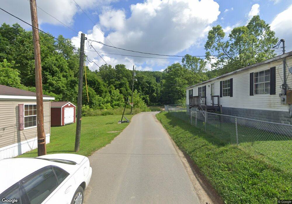
1199 Route 25-4 Rd Mount Clare, WV 26408
Estimated Value: $201,000 - $265,000
3
Beds
1
Bath
994
Sq Ft
$231/Sq Ft
Est. Value
About This Home
This home is located at 1199 Route 25-4 Rd, Mount Clare, WV 26408 and is currently estimated at $229,667, approximately $231 per square foot. 1199 Route 25-4 Rd is a home.
Ownership History
Date
Name
Owned For
Owner Type
Purchase Details
Closed on
Jun 26, 2017
Sold by
Yost Jeannette E
Bought by
Yost Jeannette R and Yost Travis D
Current Estimated Value
Home Financials for this Owner
Home Financials are based on the most recent Mortgage that was taken out on this home.
Original Mortgage
$85,000
Outstanding Balance
$44,967
Interest Rate
3.95%
Mortgage Type
New Conventional
Estimated Equity
$184,700
Purchase Details
Closed on
Jun 21, 2006
Sold by
Saltis Patricia A
Bought by
Edgell Jeannette R
Create a Home Valuation Report for This Property
The Home Valuation Report is an in-depth analysis detailing your home's value as well as a comparison with similar homes in the area
Home Values in the Area
Average Home Value in this Area
Purchase History
| Date | Buyer | Sale Price | Title Company |
|---|---|---|---|
| Yost Jeannette R | -- | -- | |
| Edgell Jeannette R | $126,000 | None Available |
Source: Public Records
Mortgage History
| Date | Status | Borrower | Loan Amount |
|---|---|---|---|
| Open | Yost Jeannette R | $85,000 |
Source: Public Records
Tax History Compared to Growth
Tax History
| Year | Tax Paid | Tax Assessment Tax Assessment Total Assessment is a certain percentage of the fair market value that is determined by local assessors to be the total taxable value of land and additions on the property. | Land | Improvement |
|---|---|---|---|---|
| 2024 | $710 | $55,260 | $11,040 | $44,220 |
| 2023 | $634 | $51,660 | $11,040 | $40,620 |
| 2022 | $603 | $51,180 | $10,380 | $40,800 |
| 2021 | $590 | $50,640 | $10,380 | $40,260 |
| 2020 | $585 | $50,700 | $10,380 | $40,320 |
| 2019 | $583 | $50,520 | $10,380 | $40,140 |
| 2018 | $576 | $50,160 | $10,080 | $40,080 |
| 2017 | $565 | $49,440 | $10,080 | $39,360 |
| 2016 | $547 | $48,480 | $9,360 | $39,120 |
| 2015 | $521 | $45,840 | $8,700 | $37,140 |
| 2014 | $512 | $45,120 | $8,040 | $37,080 |
Source: Public Records
Map
Nearby Homes
- 82 Robinwood Dr
- 256 Florence Hollow Rd
- 2189 Chub Run Rd
- 163 Hutchinson Hollow Rd
- 7 Mayflower Ln
- 2410 Buckhannon Pike
- TBD Elk Creek Pike
- 186 Robin Ln
- 8037 Maple Ave
- 8688 Cost Ave
- 0 Solomon Dr
- 7644 Buckhannon Pike
- 5178 Maple St
- 409 Nutters Run Rd
- 8030 Labrador Ln
- 2643 Laurel Park Rd
- 2-A Cherry Tree Dr
- Tbd Highland Bridge Rd
- 217 Burton Ave
- TBD Highland Bridge Rd
- 1196 Chub Run Rd
- 1135 Chub Run Rd
- 1116 Chub Run Rd
- 1218 Chub Run Rd
- 1337 Chub Run Rd
- 76 Chub Run Rd
- 1609 Chub Run Rd
- 1637 Chub Run Rd
- 799 Chub Run Rd
- 1673 Chub Run Rd
- 1693 Chub Run Rd
- 687 Chub Run Rd
- 755 Chub Run Rd
- 372 Robinwood Dr
- 251 Robinwood Dr
- 310 Robinwood Dr
- 207 Robinwood Dr
- 165 Robinwood Dr
- 133 Robinwood Dr
- 250 Robinwood Dr