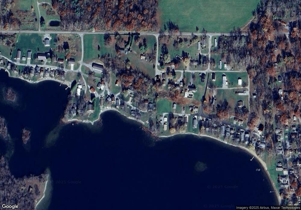
11995 E 310 S Lagrange, IN 46761
Estimated Value: $201,551 - $602,000
--
Bed
1
Bath
2,400
Sq Ft
$135/Sq Ft
Est. Value
About This Home
This home is located at 11995 E 310 S, Lagrange, IN 46761 and is currently estimated at $323,638, approximately $134 per square foot. 11995 E 310 S is a home with nearby schools including Prairie Heights Elementary School, Prairie Heights Middle School, and Prairie Heights Senior High School.
Ownership History
Date
Name
Owned For
Owner Type
Purchase Details
Closed on
May 2, 2015
Sold by
Tester Janice T
Bought by
Savage John D and Savage Pamela R
Current Estimated Value
Purchase Details
Closed on
Oct 13, 2010
Sold by
James Savage Estate
Bought by
John D Savage
Purchase Details
Closed on
Sep 24, 2010
Sold by
James Savage Estate
Bought by
Misti Savage Shepherd
Purchase Details
Closed on
Jun 25, 2010
Sold by
Ronald D Savage
Bought by
Savage Steven D and Savage Misti A
Create a Home Valuation Report for This Property
The Home Valuation Report is an in-depth analysis detailing your home's value as well as a comparison with similar homes in the area
Purchase History
| Date | Buyer | Sale Price | Title Company |
|---|---|---|---|
| Savage John D | -- | -- | |
| John D Savage | $17,500 | Tourkow, Crell, Rosenblatt & J | |
| Misti Savage Shepherd | -- | Tourkow, Crell, Rosenblatt & J | |
| Savage Steven D | $35,000 | Tourkow Crell Rosenblatt & Joh | |
| Shepherd Misti A | $35,000 | Tourkow Crell Rosenblatt & Joh |
Source: Public Records
Tax History
| Year | Tax Paid | Tax Assessment Tax Assessment Total Assessment is a certain percentage of the fair market value that is determined by local assessors to be the total taxable value of land and additions on the property. | Land | Improvement |
|---|---|---|---|---|
| 2024 | $1,238 | $128,200 | $55,800 | $72,400 |
| 2023 | $1,182 | $120,800 | $50,100 | $70,700 |
| 2022 | $1,238 | $119,200 | $47,700 | $71,500 |
| 2021 | $1,308 | $116,400 | $47,700 | $68,700 |
| 2020 | $1,346 | $114,800 | $47,700 | $67,100 |
| 2019 | $1,263 | $107,100 | $47,700 | $59,400 |
| 2018 | $1,260 | $104,900 | $45,900 | $59,000 |
| 2017 | $1,036 | $103,900 | $45,900 | $58,000 |
| 2016 | $1,003 | $102,500 | $45,900 | $56,600 |
| 2014 | $1,108 | $110,200 | $45,900 | $64,300 |
| 2013 | $1,108 | $110,800 | $45,900 | $64,900 |
Source: Public Records
Map
Nearby Homes
- 80 Lane 116 Turkey Lake
- 0 Lane 131 Turkey Lake Lot 4 & 5 Ln
- 000 Ln 131c Big Turkey Lake
- 20 Lane 131e Turkey Lake
- 125 Ln 134 Turkey Lake
- 11990 E 395 S - Big Turkey Lake Cove
- 4225 S 1170 E
- 3200 S 1075 E
- 3480 S State Rd 327
- Lot 42 Lane 230a Turkey Lake
- 8615 W 450 S
- 20 Lane 100a Lake Arrowhead
- 8487 W 500 S
- 9540 E 500 S
- 00 S 980 E
- 5534 S 980 E
- Ln 230 A Lot 50 Ln
- Ln 220 Lot 36 Ln
- Ln 220 Lot 38 Ln
- Ln 220 Lot 37 Ln
- 11980 E 310 S
- 11935 E 310 S
- 11950 E 310 S
- 155 Lane 101b Turkey Lake
- 11940 E 310 S
- 115 Lane 101b Big Turkey Lake
- 11930 E 310 S
- 75 Lane 101b Turkey Lake
- 11920 E 310 S
- 160 Lane 101b Turkey Lake
- 11918 E 310 S
- 20 Lane 105d Turkey Lake
- 35 Lane 101b Turkey Lake
- 11970 E 300 S
- 11900 E 310 S
- 15 Lane 101b Big Turkey Lake
- 15 Lane 101b Turkey Lake
- 220 Lane 105 Turkey Lake
- 240 Lane 105 Turkey Lake
- 40 Lane 105 Turkey Lake
Your Personal Tour Guide
Ask me questions while you tour the home.
