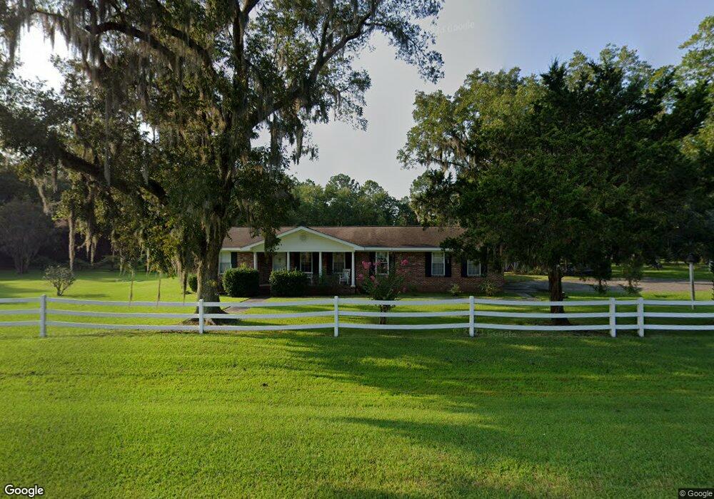
11998 Highway 82 Nahunta, GA 31553
Estimated Value: $173,000 - $195,246
--
Bed
2
Baths
1,974
Sq Ft
$93/Sq Ft
Est. Value
About This Home
This home is located at 11998 Highway 82, Nahunta, GA 31553 and is currently estimated at $184,062, approximately $93 per square foot. 11998 Highway 82 is a home located in Brantley County with nearby schools including Nahunta Primary School, Nahunta Elementary School, and Brantley County Middle School.
Ownership History
Date
Name
Owned For
Owner Type
Purchase Details
Closed on
May 30, 2025
Sold by
Forrest Thomas Cecil
Bought by
Horne Zachary
Current Estimated Value
Home Financials for this Owner
Home Financials are based on the most recent Mortgage that was taken out on this home.
Original Mortgage
$140,000
Outstanding Balance
$139,637
Interest Rate
6.76%
Mortgage Type
New Conventional
Estimated Equity
$44,425
Create a Home Valuation Report for This Property
The Home Valuation Report is an in-depth analysis detailing your home's value as well as a comparison with similar homes in the area
Home Values in the Area
Average Home Value in this Area
Purchase History
| Date | Buyer | Sale Price | Title Company |
|---|---|---|---|
| Horne Zachary | $175,000 | -- | |
| Thomas Cecil Forrest | -- | -- |
Source: Public Records
Mortgage History
| Date | Status | Borrower | Loan Amount |
|---|---|---|---|
| Open | Thomas Cecil Forrest | $140,000 |
Source: Public Records
Tax History Compared to Growth
Tax History
| Year | Tax Paid | Tax Assessment Tax Assessment Total Assessment is a certain percentage of the fair market value that is determined by local assessors to be the total taxable value of land and additions on the property. | Land | Improvement |
|---|---|---|---|---|
| 2024 | $1,282 | $70,816 | $7,146 | $63,670 |
| 2023 | $322 | $70,166 | $6,496 | $63,670 |
| 2022 | $1,252 | $69,166 | $6,496 | $62,670 |
| 2021 | $1,254 | $52,365 | $6,496 | $45,869 |
| 2020 | $1,289 | $52,365 | $6,496 | $45,869 |
| 2019 | $1,287 | $52,365 | $6,496 | $45,869 |
| 2018 | $2,015 | $59,260 | $13,391 | $45,869 |
| 2017 | $2,015 | $59,260 | $13,391 | $45,869 |
| 2016 | $1,380 | $59,260 | $13,391 | $45,869 |
| 2015 | -- | $59,260 | $13,391 | $45,869 |
Source: Public Records
Map
Nearby Homes
- 584 Knox St
- 20.55 ACRES U S Highway 82
- 97 Kyody Trail
- 105 Crawford Rd
- 0-0 Foxwood Rd
- 0 Foxwood Rd
- 7126 U S 301
- 29 Chisholm St
- 4432 Pembers Rd
- 4452 Pembers Rd
- 3362 Seed Orchard Rd
- 46 Christopher Cir
- 0 Woodrow Ln
- 133 Stalkhill Rd
- 0 Caney Bay Rd
- 14375 Hwy 301 N
- 456 Blue Jay Loop
- 13929 Raybon Rd E
- 91 Cane Cir
- 203 Johnny B St
- 40 Verona H Ln
- 139 Forrest Thomas Ln
- 42 Verona H Ln
- (Lot 25) Eagles Nest Rd
- 448 Eagles Nest Rd
- 228 Eagles Nest Rd
- 164 Eagles Nest Rd
- 2753 Sears Rd
- 199 Eagles Nest Rd
- 255 Eagles Nest Rd
- 2725 Sears Rd
- 12404 Highway 82
- 343 Howard Crossing
- 107 Eagles Nest Rd
- 2888 Sears Rd
- 174 Mohican Trail
- 2148 Ellis Highsmith Rd
- 382 Howard Crossing
- 175 Mohican Trail
- 1942 Ellis Highsmith Rd