11N060 Peplow Rd Hampshire, IL 60140
Estimated Value: $582,567 - $714,000
2
Beds
2
Baths
2,861
Sq Ft
$221/Sq Ft
Est. Value
About This Home
This home is located at 11N060 Peplow Rd, Hampshire, IL 60140 and is currently estimated at $633,642, approximately $221 per square foot. 11N060 Peplow Rd is a home with nearby schools including Lily Lake Grade School, Central Middle School, and Prairie Knolls Middle School.
Ownership History
Date
Name
Owned For
Owner Type
Purchase Details
Closed on
Aug 18, 2025
Sold by
Prestidge Arland and Prestidge Jean Lenore
Bought by
Arland D Prestidge Declaration Of Trust and Prestidge
Current Estimated Value
Purchase Details
Closed on
Mar 17, 2010
Sold by
Prestidge Jean Lenore
Bought by
Prestidge Arland D and Prestidge Jean Lenore
Purchase Details
Closed on
Oct 2, 2000
Sold by
Foderaro Edith
Bought by
Prestidge Jean L
Home Financials for this Owner
Home Financials are based on the most recent Mortgage that was taken out on this home.
Original Mortgage
$190,000
Interest Rate
7.87%
Create a Home Valuation Report for This Property
The Home Valuation Report is an in-depth analysis detailing your home's value as well as a comparison with similar homes in the area
Home Values in the Area
Average Home Value in this Area
Purchase History
| Date | Buyer | Sale Price | Title Company |
|---|---|---|---|
| Arland D Prestidge Declaration Of Trust | -- | None Listed On Document | |
| Prestidge Arland D | -- | None Available | |
| Prestidge Jean L | $370,000 | -- |
Source: Public Records
Mortgage History
| Date | Status | Borrower | Loan Amount |
|---|---|---|---|
| Previous Owner | Prestidge Jean L | $190,000 |
Source: Public Records
Tax History Compared to Growth
Tax History
| Year | Tax Paid | Tax Assessment Tax Assessment Total Assessment is a certain percentage of the fair market value that is determined by local assessors to be the total taxable value of land and additions on the property. | Land | Improvement |
|---|---|---|---|---|
| 2024 | $7,963 | $113,719 | $28,635 | $85,084 |
| 2023 | $9,309 | $123,257 | $26,335 | $96,922 |
| 2022 | $10,102 | $124,270 | $35,522 | $88,748 |
| 2021 | $10,703 | $128,105 | $33,221 | $94,884 |
| 2020 | $9,662 | $114,960 | $31,940 | $83,020 |
| 2019 | $9,427 | $111,090 | $30,839 | $80,251 |
| 2018 | $8,916 | $105,246 | $29,208 | $76,038 |
| 2017 | $8,594 | $100,457 | $27,867 | $72,590 |
| 2016 | $8,600 | $94,519 | $26,218 | $68,301 |
| 2015 | -- | $91,910 | $25,476 | $66,434 |
| 2014 | -- | $95,641 | $26,150 | $69,491 |
| 2013 | -- | $103,863 | $29,700 | $74,163 |
Source: Public Records
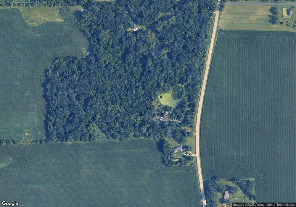
Map
Nearby Homes
- 300 Rolling Oaks Dr
- LOT 5 Rolling Oaks Dr
- 224 S Main St
- 174 E Center St
- 0 Plank Rd
- 0 Plank Rd
- 13N415 Burlington Rd
- 49W794 Lenschow Rd
- 45W909 Grollemond Ln
- 45W829 Grollemond Ln
- 45W910 Grollemond Ln
- 17128 Lukens Rd
- 14N693 Getzelman Rd
- 14N700 Factly Rd
- 44W465 Plank Rd
- 1411 Oakfield Ln
- 1451 Oakfield Ln
- 1443 Oakfield Ln
- 1437 Oakfield Ln
- 2937 Rushmore Dr
- 10N980 Peplow Rd
- 11N150 Peplow Rd
- 10N887 Peplow Rd
- 11N298 Peplow Rd
- 10N826 Peplow Rd
- 11N316 Peplow Rd
- 10N410 Peplow Rd
- 11N231 Peplow Rd
- 11N412 Peplow Rd
- 11N490 Peplow Rd
- 48W251 Mcgough Rd Unit A10097407
- 48W251 Mcgough Rd
- 47W825 Winterset Rd
- 11N489 Peplow Rd
- 47W840 Winterset Rd
- 47W765 Winterset Rd
- 47w Winterset Rd
- 47W808 Winterset Rd
- 47W745 Winterset Rd