11N600 Peplow Rd Hampshire, IL 60140
Estimated Value: $819,000 - $934,883
4
Beds
3
Baths
4,261
Sq Ft
$206/Sq Ft
Est. Value
About This Home
This home is located at 11N600 Peplow Rd, Hampshire, IL 60140 and is currently estimated at $876,942, approximately $205 per square foot. 11N600 Peplow Rd is a home with nearby schools including Lily Lake Grade School, Central Middle School, and Prairie Knolls Middle School.
Ownership History
Date
Name
Owned For
Owner Type
Purchase Details
Closed on
Jun 4, 2019
Sold by
Sagan Daniel R and Sagan Mary K
Bought by
Sagan Family Trust
Current Estimated Value
Purchase Details
Closed on
May 12, 1999
Sold by
Sagan Daniel R
Bought by
Sagan Daniel R and Sagan Mary K
Home Financials for this Owner
Home Financials are based on the most recent Mortgage that was taken out on this home.
Original Mortgage
$240,000
Outstanding Balance
$61,755
Interest Rate
6.99%
Estimated Equity
$815,187
Purchase Details
Closed on
Dec 12, 1997
Sold by
Seyller Charles and Seyller Mary Ellen
Bought by
Sagan Daniel R
Create a Home Valuation Report for This Property
The Home Valuation Report is an in-depth analysis detailing your home's value as well as a comparison with similar homes in the area
Home Values in the Area
Average Home Value in this Area
Purchase History
| Date | Buyer | Sale Price | Title Company |
|---|---|---|---|
| Sagan Family Trust | -- | Attorney | |
| Sagan Daniel R | -- | -- | |
| Sagan Daniel R | $95,000 | -- |
Source: Public Records
Mortgage History
| Date | Status | Borrower | Loan Amount |
|---|---|---|---|
| Open | Sagan Daniel R | $240,000 |
Source: Public Records
Tax History Compared to Growth
Tax History
| Year | Tax Paid | Tax Assessment Tax Assessment Total Assessment is a certain percentage of the fair market value that is determined by local assessors to be the total taxable value of land and additions on the property. | Land | Improvement |
|---|---|---|---|---|
| 2024 | $19,130 | $250,741 | $61,420 | $189,321 |
| 2023 | $19,349 | $230,928 | $56,462 | $174,466 |
| 2022 | $18,365 | $211,910 | $51,713 | $160,197 |
| 2021 | $17,598 | $198,537 | $48,340 | $150,197 |
| 2020 | $17,211 | $191,193 | $46,436 | $144,757 |
| 2019 | $16,850 | $184,905 | $44,800 | $140,105 |
| 2018 | $16,029 | $175,432 | $42,405 | $133,027 |
| 2017 | $15,531 | $167,666 | $40,432 | $127,234 |
| 2016 | $15,657 | $158,050 | $38,023 | $120,027 |
| 2015 | -- | $153,809 | $36,918 | $116,891 |
| 2014 | -- | $174,619 | $38,689 | $135,930 |
| 2013 | -- | $186,594 | $41,879 | $144,715 |
Source: Public Records
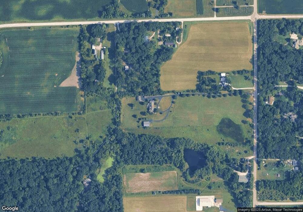
Map
Nearby Homes
- 300 Rolling Oaks Dr
- LOT 5 Rolling Oaks Dr
- 224 S Main St
- 174 E Center St
- 13N415 Burlington Rd
- 0 Plank Rd
- 0 Plank Rd
- 49W794 Lenschow Rd
- 45W909 Grollemond Ln
- 45W910 Grollemond Ln
- 45W829 Grollemond Ln
- 14N693 Getzelman Rd
- 14N700 Factly Rd
- 17128 Lukens Rd
- 1411 Oakfield Ln
- 1451 Oakfield Ln
- 1443 Oakfield Ln
- 1437 Oakfield Ln
- 2937 Rushmore Dr
- 1431 Oakfield Ln
- 48W233 Mcgough Rd
- 11N646 Peplow Rd
- 48W281 Mcgough Rd
- 48W251 Mcgough Rd Unit A10097407
- 48W251 Mcgough Rd
- 11N490 Peplow Rd
- 11N615 Peplow Rd
- 11N412 Peplow Rd
- 11N571 Peplow Rd
- 11N489 Peplow Rd
- 11N731 Peplow Rd
- 11N625 Peplow Rd
- 10N410 Peplow Rd
- 48W489 Mcgough Rd
- 11N316 Peplow Rd
- 11N298 Peplow Rd
- 11N551 Peplow Rd
- 47w Winterset Rd
- 11N843 Waughon Rd
- 47W840 Winterset Rd