11N625 Peplow Rd Hampshire, IL 60140
Estimated Value: $521,000 - $587,440
3
Beds
3
Baths
2,254
Sq Ft
$240/Sq Ft
Est. Value
About This Home
This home is located at 11N625 Peplow Rd, Hampshire, IL 60140 and is currently estimated at $540,860, approximately $239 per square foot. 11N625 Peplow Rd is a home with nearby schools including Lily Lake Grade School, Central Middle School, and Prairie Knolls Middle School.
Ownership History
Date
Name
Owned For
Owner Type
Purchase Details
Closed on
Aug 25, 2020
Sold by
Hilleshiem Andersen Heather and Hilleshiem Heather
Bought by
Hilleshiem Heather
Current Estimated Value
Purchase Details
Closed on
Sep 6, 2008
Sold by
Hilleshiem Shirley and Hilleshiem Michael
Bought by
Hilleshiem Andersen Heather
Create a Home Valuation Report for This Property
The Home Valuation Report is an in-depth analysis detailing your home's value as well as a comparison with similar homes in the area
Home Values in the Area
Average Home Value in this Area
Purchase History
| Date | Buyer | Sale Price | Title Company |
|---|---|---|---|
| Hilleshiem Heather | -- | Attorney | |
| Hilleshiem Andersen Heather | -- | None Available |
Source: Public Records
Tax History Compared to Growth
Tax History
| Year | Tax Paid | Tax Assessment Tax Assessment Total Assessment is a certain percentage of the fair market value that is determined by local assessors to be the total taxable value of land and additions on the property. | Land | Improvement |
|---|---|---|---|---|
| 2024 | $11,743 | $152,096 | $45,336 | $106,760 |
| 2023 | $13,369 | $154,036 | $46,862 | $107,174 |
| 2022 | $12,579 | $141,046 | $42,910 | $98,136 |
| 2021 | $12,060 | $131,942 | $40,140 | $91,802 |
| 2020 | $11,802 | $126,989 | $38,633 | $88,356 |
| 2019 | $11,561 | $122,754 | $37,345 | $85,409 |
| 2018 | $11,004 | $116,311 | $35,385 | $80,926 |
| 2017 | $10,667 | $111,036 | $33,780 | $77,256 |
| 2016 | $10,758 | $104,475 | $31,784 | $72,691 |
| 2015 | -- | $101,619 | $30,915 | $70,704 |
| 2014 | -- | $91,472 | $30,528 | $60,944 |
| 2013 | -- | $100,140 | $30,832 | $69,308 |
Source: Public Records
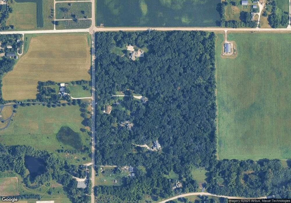
Map
Nearby Homes
- 300 Rolling Oaks Dr
- LOT 5 Rolling Oaks Dr
- 224 S Main St
- 174 E Center St
- 13N415 Burlington Rd
- 0 Plank Rd
- 0 Plank Rd
- 45W909 Grollemond Ln
- 45W829 Grollemond Ln
- 45W910 Grollemond Ln
- 49W794 Lenschow Rd
- 14N693 Getzelman Rd
- 14N700 Factly Rd
- 1411 Oakfield Ln
- 1451 Oakfield Ln
- 1443 Oakfield Ln
- 1437 Oakfield Ln
- 2937 Rushmore Dr
- 1431 Oakfield Ln
- 1401 Oakfield Ln
- 11N571 Peplow Rd
- 11N615 Peplow Rd
- 11N731 Peplow Rd
- 11N551 Peplow Rd
- 11N489 Peplow Rd
- 11N646 Peplow Rd
- 47w Winterset Rd
- 47W840 Winterset Rd
- 11N490 Peplow Rd
- 47W808 Winterset Rd
- 47W768 Winterset Rd
- 47W825 Winterset Rd
- 47W588 Winterset Rd
- 47W560 Winterset Rd
- 47W765 Winterset Rd
- 47W702 Chapman Rd
- 47W745 Winterset Rd
- 47w Chapman Rd
- 11N412 Peplow Rd