Estimated Value: $85,913 - $134,000
3
Beds
1
Bath
1,410
Sq Ft
$76/Sq Ft
Est. Value
About This Home
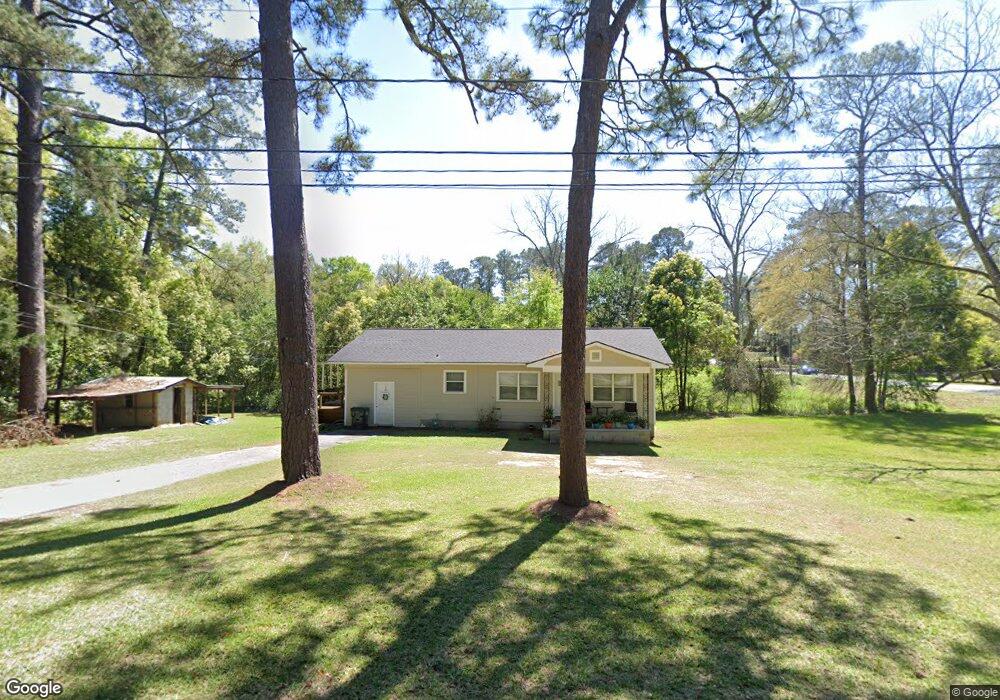
This home is located at 12 10th Ave SE, Cairo, GA 39828 and is currently estimated at $106,978, approximately $75 per square foot. 12 10th Ave SE is a home located in Grady County with nearby schools including Cairo High School.
Ownership History
Date
Name
Owned For
Owner Type
Purchase Details
Closed on
Apr 15, 2022
Sold by
H & W Rentals Llc
Bought by
Maldonado Gilberto R and Maldonado Tiffany Lisbeth
Current Estimated Value
Purchase Details
Closed on
Nov 16, 2018
Sold by
Harrell Carl
Bought by
H & W Rentals Llc
Home Financials for this Owner
Home Financials are based on the most recent Mortgage that was taken out on this home.
Original Mortgage
$118,763
Interest Rate
4.8%
Mortgage Type
New Conventional
Purchase Details
Closed on
May 13, 2008
Sold by
Bishop Dennis L
Bought by
Harrell Carl and Harrell Lee F
Purchase Details
Closed on
Dec 20, 1979
Bought by
Bishop Henry E
Create a Home Valuation Report for This Property
The Home Valuation Report is an in-depth analysis detailing your home's value as well as a comparison with similar homes in the area
Home Values in the Area
Average Home Value in this Area
Purchase History
| Date | Buyer | Sale Price | Title Company |
|---|---|---|---|
| Maldonado Gilberto R | $65,000 | -- | |
| H & W Rentals Llc | $145,000 | -- | |
| Harrell Carl | $49,000 | -- | |
| Bishop Henry E | -- | -- |
Source: Public Records
Mortgage History
| Date | Status | Borrower | Loan Amount |
|---|---|---|---|
| Previous Owner | H & W Rentals Llc | $118,763 |
Source: Public Records
Tax History Compared to Growth
Tax History
| Year | Tax Paid | Tax Assessment Tax Assessment Total Assessment is a certain percentage of the fair market value that is determined by local assessors to be the total taxable value of land and additions on the property. | Land | Improvement |
|---|---|---|---|---|
| 2024 | $1,450 | $36,763 | $3,740 | $33,023 |
| 2023 | $680 | $18,368 | $6,262 | $12,106 |
| 2022 | $707 | $18,368 | $6,262 | $12,106 |
| 2021 | $709 | $18,368 | $6,262 | $12,106 |
| 2020 | $711 | $18,368 | $6,262 | $12,106 |
| 2019 | $711 | $18,368 | $6,262 | $12,106 |
| 2018 | $676 | $18,368 | $6,262 | $12,106 |
| 2017 | $729 | $20,598 | $6,262 | $14,336 |
| 2016 | $656 | $18,126 | $6,262 | $11,864 |
| 2015 | $649 | $18,126 | $6,262 | $11,864 |
| 2014 | $649 | $18,126 | $6,262 | $11,864 |
| 2013 | -- | $17,003 | $6,261 | $10,742 |
Source: Public Records
Map
Nearby Homes
- 270 Muggridge Ln
- 1193 S Broad St
- 720 1st St SW
- 27 6th Ave SW
- 112 Pine Cir SW
- 117 Pine Cir SW
- 109 Oriac Ave SW
- 602 4th St SE
- 75 14th Ave SE
- 460 2nd St SW
- 40 5th Ave SW
- 000 S Broad St
- 530 6th Ave SE
- 481 4th St SE
- 000 Hwy 111 South 20 59 Acres
- 471 4th St SE
- 309 3rd St SE
- 1310 Stone Ave
- 530 6th St
- 1406 Platt Ave
- 833 S Broad St
- 831 S Broad St
- 880 1st St SE
- 1091 S Broad St
- 260 Muggridge Ln
- 265 Muggridge Ln
- 831 1st St SE
- 912 S Broad St
- 1022 S Broad St
- 1028 S Broad St
- 910 S Broad St
- 821 S Broad St
- 32 9th Ave SW
- 881 1st St SE
- 1030 S Broad St
- 275 Muggridge Ln
- 1115 S Broad St
- 280 Muggridge Ln
- 36 9th Ave SW
- 824 S Broad St